Wrigley Airport | |||||||||||
|---|---|---|---|---|---|---|---|---|---|---|---|
| Summary | |||||||||||
| Airport type | Public | ||||||||||
| Operator | Government of the Northwest Territories | ||||||||||
| Location | Wrigley, Northwest Territories | ||||||||||
| Time zone | MST (UTC−07:00) | ||||||||||
| • Summer (DST) | MDT (UTC−06:00) | ||||||||||
| Elevation AMSL | 491 ft / 150 m | ||||||||||
| Coordinates | 63°12′35″N123°26′12″W / 63.20972°N 123.43667°W Coordinates: 63°12′35″N123°26′12″W / 63.20972°N 123.43667°W | ||||||||||
| Map | |||||||||||
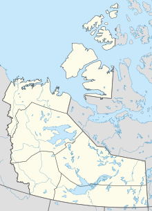 CYWY Location in the Northwest Territories  CYWY CYWY (Canada) | |||||||||||
| Runways | |||||||||||
| |||||||||||
| Statistics (2010) | |||||||||||
| |||||||||||
Wrigley Airport( IATA : YWY, ICAO : CYWY) is located near Wrigley, Northwest Territories, Canada.
