Zamudio | |
|---|---|
 | |
 Flag  Coat of arms | |
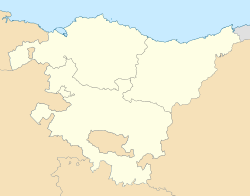 Zamudio Location of Zamudio within the Basque Country  Zamudio Zamudio (Spain) | |
| Coordinates: 43°16′58″N2°51′45″W / 43.28278°N 2.86250°W | |
| Country | Spain |
| Autonomous community | Basque Country |
| Province | Biscay |
| Comarca | Greater Bilbao |
| Founded | c. 930 |
| Government | |
| • Mayor | Igotz López (EAJ-PNV) |
| Area | |
• Total | 19.63 km2 (7.58 sq mi) |
| Elevation | 50 m (160 ft) |
| Population (2024-01-01) [1] | |
• Total | 3,314 |
| • Density | 168.8/km2 (437.3/sq mi) |
| Demonym | Basque: zamudioztarra |
| Time zone | UTC+1 (CET) |
| • Summer (DST) | UTC+2 (CEST) |
| Postal code | 48170 |
| Official language(s) | Basque Spanish |
| Website | Official website |
Zamudio is a town and municipality located in the province of Biscay, in the Autonomous Community of Basque Country, northern Spain.
Lycée Français de Bilbao, the French international school of the Bilbao metropolitan area, is in Zamudio. [2]
