 | ||||
|---|---|---|---|---|
| Walsall Ring Road | ||||
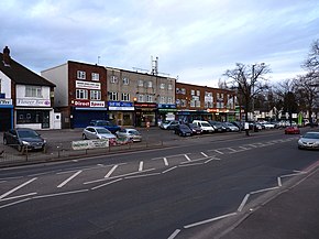 Parade of shops on the A4148 Broadway West | ||||
| Route information | ||||
| Length | 5.3 mi [1] (8.5 km) | |||
| Major junctions | ||||
| Orbital around Walsall, West Midlands | ||||
| Location | ||||
| Country | United Kingdom | |||
| Road network | ||||
| ||||
The A4148 is an A-class road in the town of Walsall, West Midlands, England. It serves as the town's ring road, as it encircles the town centre, and no road inside it has a number. Major junctions occur where it meets the A34, A454 and A461.
Rather than a purpose-built ring road, such as the nearby A4150 Wolverhampton Inner Ring Road, the A4148 consists of existing streets marked as a ring road. Since 2006, Walsall Council has implemented a number of roadwork projects in an attempt to improve traffic flow. [2] This included eliminating the large roundabout near the Arboretum which was replaced by traffic lights.