The Vale of Glamorgan, often referred to as The Vale, is a county borough in the south-east of Wales. It borders Bridgend County Borough to the west, Cardiff to the east, Rhondda Cynon Taf to the north, and the Bristol Channel to the south. With an economy based largely on agriculture and chemicals, it is the southernmost unitary authority in Wales. Attractions include Barry Island Pleasure Park, the Barry Tourist Railway, Medieval wall paintings in St Cadoc's Church, Llancarfan, Porthkerry Park, St Donat's Castle, Cosmeston Lakes Country Park and Cosmeston Medieval Village. The largest town is Barry. Other towns include Penarth, Llantwit Major, and Cowbridge. There are many villages in the county borough.

Newport is a city and county borough in Wales, situated on the River Usk close to its confluence with the Severn Estuary, 12 mi (19 km) northeast of Cardiff. With a population of 145,700 at the 2011 census, Newport is the third-largest authority with city status in Wales, and seventh most populous overall. Newport became a unitary authority in 1996 and forms part of the Cardiff-Newport metropolitan area. Newport was the site of the last large-scale armed insurrection in Great Britain, the Newport Rising of 1839. The population grew considerably during the 2021 census, rising to 159,587, the largest growth of a unitary authority in Wales.

The A48 is a trunk road in Great Britain running from the A40 at Highnam, 3 miles (4.8 km) west of Gloucester, England, to the A40 at Carmarthen, Wales. Before the Severn Bridge opened on 8 September 1966, it was a major route between England and South Wales. For most of its route, it runs almost parallel to the M4 motorway. During times of high winds at the Severn Bridge, the A48 is used as part of the diversion route and is still marked as a Holiday Route.

St Mellons is a district and suburb of eastern Cardiff, the capital city of Wales. Prior to 1996 St Mellons was the name given to the community largely north of Newport Road (B4487) which included the old St Mellons village. After 1996 the old community was divided and renamed as Old St Mellons and Pontprennau, with the newer, much larger area of modern housing and business parks to the south of Newport Road retaining the St Mellons name. Historically in Monmouthshire, St Mellons became part of South Glamorgan and Cardiff in 1974.
Adamsdown is an inner city area and community in the south of Cardiff, the capital city of Wales. Adamsdown is generally located between Newport Road, to the north and the mainline railway to the south. The area includes Cardiff Prison, Cardiff Magistrates' Court, Cardiff Royal Infirmary, a University of South Wales campus, and many streets of residential housing. There are two primary schools in the area Adamsdown Primary School and Tredegarville Primary School.

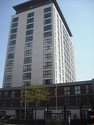
Cardiff city centre is the city centre and central business district of Cardiff, Wales. The area is tightly bound by the River Taff to the west, the Civic Centre to the north and railway lines and two railway stations – Central and Queen Street – to the south and east respectively. Cardiff became a city in 1905.

The A48(M) motorway in Wales links Cardiff with Newport. It is a 2-mile (3.2 km) long M4 spur. At St Mellons, it runs continuously into the dual-carriageway A48, which also has (albeit narrow) hard shoulders. The A48(M) has no other junctions and opened in 1977. The M4 was extended from junction 29 in 1980.

Pyle is a village and community in Bridgend county borough, Wales. This large village is served by the A48 road, and lies less than one mile from Junction 37 of the M4 motorway, and is therefore only a half-hour journey from the capital city of Wales, Cardiff. The nearest town is the seaside resort of Porthcawl. Within the Community, to the northeast of Pyle, is the adjoining settlement of Kenfig Hill, North Cornelly also adjoins Pyle and the built-up area had a population of 13,701 in 2011.

Culverhouse Cross is a district straddling the boundary between Cardiff and the Vale of Glamorgan, Wales, in the community of Wenvoe.
Pontprennau is a ward and community in the north of the city of Cardiff, Wales, lying north of Pentwyn and Cyncoed, between the village of Old St Mellons and the farmlands east of Lisvane. The community had a population of 7,353 in 2011.

Cowbridge Road West is a major road in western Cardiff, the capital of Wales and forms part of the A48 road.

Cowbridge Road East is a major road in western-central Cardiff, the capital of Wales. It is the principal road which passes through the busy district of Riverside and Canton and connects Cowbridge Road West in the western districts to central Cardiff. The road is partly on the A4161. It is eventually crossed by Cathedral Road towards the city centre. It is home to numerous shops, pubs and restaurants.

Castleton is a hamlet in the city of Newport, South Wales.
Transport in Cardiff, capital and most populous city in Wales involves road, rail, bus, water and air. It is a major city of the United Kingdom and a centre of employment, government, retail, business, culture, media, sport and higher education.

The A4232, which is also known either as the Peripheral Distributor Road (PDR) (Welsh: Ffordd Ddosbarthu Ymylol) or the Cardiff Link Road (Welsh: Ffordd Gyswllt Caerdydd), is a distributor road in Cardiff, the capital of Wales.

The A4107 road is an A road in Neath Port Talbot County Borough, Wales. It begins in Port Talbot and heads up the Afan Valley in a north easterly direction. It then continues over the moors eastwards until it connects with the A4061 road south west of Treorchy in the Rhondda Valley.

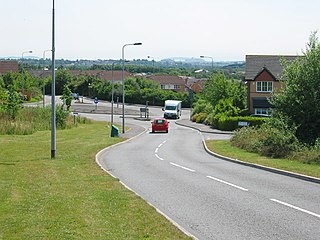
The A4050 road connects Barry, Vale of Glamorgan with Culverhouse Cross on the outskirts of Cardiff, Wales. It is approximately 10 miles (16 km) long, and is the key link road between the M4 motorway and Cardiff International Airport.

Cycling in Cardiff, capital of Wales, is facilitated by its easy gradients and large parks. In the mid-2000s between 2.7% and 4.3% of people commuted to work by cycling in the city. In 2017 12.4% of workers cycled to work at least 5 days a week. However, cyclists in the city are deterred from cycling by poor facilities and aggressive traffic, according to research by Cardiff University.

Newport Road is a 4.7 mi (7.5 km) road leading east from the centre of Cardiff, Wales, towards Newport, until it joins the A48 at St Mellons.