
Jandakot is a southern suburb of Perth, Western Australia, located within the City of Cockburn local government area. It is best known for Jandakot Airport that is situated entirely within the suburb, the airport being "the busiest general aviation airport in Australia in terms of aircraft movements", the sixth-busiest civilian airport in Australia in the fiscal year ending 30 June 2018, and in the 2011 fiscal year even the busiest civilian airport in Australia.

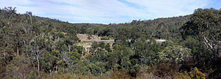
Pinjarra is a town in the Peel region of Western Australia along the South Western Highway, 82 kilometres (51 mi) from the state capital, Perth and 21 kilometres (13 mi) south-east of the coastal city of Mandurah. Its local government area is the Shire of Murray. At the 2016 census, Pinjarra had a population of 4910.
Bateman is a suburb of Perth, Western Australia, located within the City of Melville.

Canning Vale is a southern suburb of Perth, 22 km (13.7 mi) from the central business district. Its local government areas are the City of Canning and the City of Gosnells.

Cannington is a southern suburb of Perth, Western Australia. Its local government area is the City of Canning.

Aubin Grove is a suburb of Perth, Western Australia in the City of Cockburn. The suburb was approved in 2003.
Success is a southern suburb of Perth, the capital city of Western Australia, located within the City of Cockburn.
Langford is a suburb of Perth, Western Australia, located within the City of Gosnells. Its postcode is 6147.
Orange Grove is a suburb of Perth, Western Australia in the City of Gosnells.
Karnup is an outer southern suburb of Perth, the capital city of Western Australia, located within the City of Rockingham. It is named after the Karnup townsite, which was declared in 1924 and which, in turn, took its name from an Indigenous name of unknown meaning.

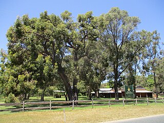
Singleton is an outer southern suburb of Perth, the capital city of Western Australia, located within the City of Rockingham. It is the southernmost suburb of the Perth Metropolitan Area and is actually closer to the regional city Mandurah than either Perth CBD or Rockingham. The area is under a development near the school, Singleton Primary, and near the main oval, Laurie Stanford Reserve. There is a petrol service station, a small shopping centre, and a school.
Coodanup is a south-eastern suburb of Mandurah, Western Australia. Its local government area is the City of Mandurah.

Dawesville is a suburb of Mandurah, located adjacent to the Peel-Harvey Estuarine System south of Perth in Western Australia. The Dawesville Cut, a man-made canal built in 1994, is to the north of the suburb.
Greenfields is a suburb east of Mandurah, located east of Mandurah's central area. It includes several aged care residences and a large recreation oval and centre.

San Remo is an inner northern coastal suburb of Mandurah.

Silver Sands is an inner northern coastal suburb of Mandurah, Western Australia.

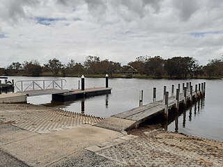
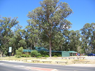
Mandurah railway station is the terminus of the Mandurah railway line and a bus station on the Transperth network, serving the satellite city of Mandurah, Western Australia.

North Yunderup is a locality near Mandurah, Western Australia, located on the north bank of the Murray River within the Shire of Murray. Its postcode is 6208, and in the 2011 Census, it had a population of 849 with a median age of 46, nearly all of whom live in separate dwellings.

South Yunderup is a township near Mandurah, Western Australia, located on the south bank of the Murray River within the Shire of Murray. Its postcode is 6208, and in the 2011 Census, it had a population of 2,235 with a median age of 50. South Yunderup is also the second-largest township in the Shire of Murray after the main town, Pinjarra.

Furnissdale is a locality near Mandurah, Western Australia, to the south of Pinjarra Road and near the Serpentine River entrance into the Peel Inlet within the Shire of Murray. Its postcode is 6209. At the 2011 census, Furnissdale had a population of 1,027.

