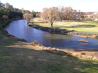
The Severn River, a perennial river that forms part of the Border Rivers group, is part of the Macintyre catchment of the Murray-Darling basin, located in the Northern Tablelands and North West Slopes regions of New South Wales, Australia.
Macdonald River, a perennial river that is part of the Namoi catchment within the Murray–Darling basin, is located in the Northern Tablelands district of New South Wales, Australia.
The Macintyre River, a perennial river that forms part of the Border Rivers group, is part of the Barwon catchment of the Murray-Darling basin, located in the Northern Tablelands and North West Slopes regions of New South Wales, and the Southern Downs region of Queensland, Australia.

The Dumaresq River ; a perennial stream of the Macintyre catchment within the Murray–Darling basin, is located in the Northern Tablelands and North West Slopes regions of New South Wales and the Darling Downs region of Queensland, Australia.

Avon River, a perennial stream of the Manning River catchment, is located in the Upper Hunter region of New South Wales, Australia.

Barrington River, a perennial river of the Manning River catchment, is located in the Upper Hunter district of New South Wales, Australia.

Barnard River, a perennial river of the Manning River catchment, is located in the Northern Tablelands and Mid North Coast districts of New South Wales, Australia.
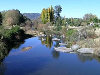
Beardy River, a perennial river that is part of the Murray–Darling basin, is located in the New England region of New South Wales, Australia.

Cooplacurripa River, a perennial river of the Manning River catchment, is located in the Northern Tablelands and Mid North Coast districts of New South Wales, Australia.
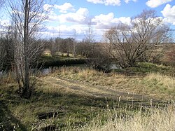
Deepwater River, a mostly perennial stream of the Dumaresq-Macintyre catchment within the Murray–Darling basin, is located in the Northern Tablelands district of New South Wales, Australia.

Gara River, a perennial river that is a tributary of the Macleay River, is located in the Northern Tablelands region of New South Wales, Australia.
Growee River, a perennial river of the Hunter River catchment, is located in the Central Tablelands region of New South Wales, Australia.
Isis River, a perennial river of the Hunter River catchment, is located in the Upper Hunter region of New South Wales, Australia.

Telegherry River, a perennial river of the Mid-Coast Council system, is located in the Mid North Coast and Upper Hunter regions of New South Wales, Australia.
Wards River, a mostly perennial river of the Mid-Coast Council system, is located in the Mid North Coast and Upper Hunter regions of New South Wales, Australia.
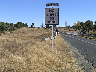
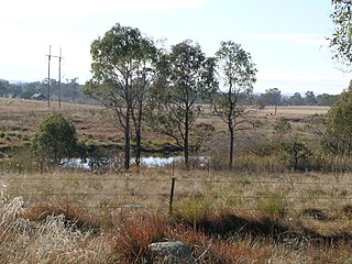
Rocky River, a watercourse of the Gwydir catchment within the Murray–Darling basin, is located in the Northern Tablelands district of New South Wales, Australia.
The Blue Mountain Creek, an intermittent stream that is part of the Macleay River catchment, is located in the Northern Tablelands region of New South Wales, Australia.
The Commissioners Waters, a watercourse that is part of the Macleay River catchment, is located in the Northern Tablelands region of New South Wales, Australia.

Congewai Creek, a watercourse of the Hunter River catchment, is located in the Hunter district of New South Wales, Australia.

Devlins Creek, an urban watercourse that is part of the Parramatta River catchment, is located in Northern Suburbs region of Sydney, Australia.