
Little Saigon is a name given to ethnic enclaves of expatriate Vietnamese mainly in English-speaking countries. Alternate names include Little Vietnam and Little Hanoi, depending on the enclave's political history. To avoid political undertones due to the renaming of Saigon to Ho Chi Minh City, it is occasionally called by the neutral name Vietnamtown. Saigon is the former name of the capital of the former South Vietnam, where a large number of first-generation Vietnamese immigrants emigrating to the United States originate from, whereas Hanoi is the current capital of Vietnam.

Bushwick is a neighborhood in the northern part of the New York City borough of Brooklyn. It is bounded by the neighborhood of Ridgewood, Queens, to the northeast; Williamsburg to the northwest; East New York and the cemeteries of Highland Park to the southeast; Brownsville to the south; and Bedford–Stuyvesant to the southwest.

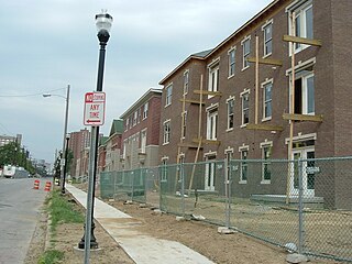
East Flatbush is a residential neighborhood in the New York City borough of Brooklyn. East Flatbush is bounded by Crown Heights and Empire Boulevard to the north; Brownsville and East 98th Street to the east; Flatlands, Canarsie and the Long Island Rail Road's Bay Ridge Branch to the south; and the neighborhood of Flatbush and New York Avenue to the west. East Flatbush is a predominantly African American neighborhood and has a population of 135,619 as of the 2010 United States census.

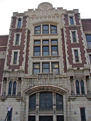
West Town, northwest of the Loop on Chicago's West Side, is one of the city's officially designated community areas. Much of this area was historically part of Polish Downtown, along Western Avenue, which was then the city's western boundary. West Town was a collection of several distinct neighborhoods and the most populous community area until it was surpassed by Near West Side in the 1960s. The boundaries of the community area are the Chicago River to the east, the Union Pacific railroad tracks to the south, the former railroad tracks on Bloomingdale Avenue to the North, and an irregular western border to the west that includes the city park called Humboldt Park. Humboldt Park is also the name of the community area to West Town's west, Logan Square is to the north, Near North Side to the east, and Near West Side to the south. The collection of neighborhoods in West Town along with the neighborhoods of Bucktown and the eastern portion of Logan Square have been referred to by some media as the "Near Northwest Side".

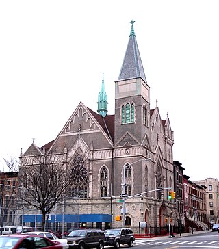
Bedford–Stuyvesant, colloquially known as Bed–Stuy, is a neighborhood in the northern section of the New York City borough of Brooklyn. Bedford–Stuyvesant is bordered by Flushing Avenue to the north, Classon Avenue to the west, Broadway to the east, and Atlantic Avenue to the south. The main shopping street, Fulton Street, runs east–west the length of the neighborhood and intersects high-traffic north–south streets including Bedford Avenue, Nostrand Avenue, and Stuyvesant Avenue. Bedford–Stuyvesant contains four smaller neighborhoods: Bedford, Stuyvesant Heights, Ocean Hill, and Weeksville. Part of Clinton Hill was once considered part of Bedford–Stuyvesant.

The Original Highlands is a historic neighborhood in the Highlands area of Louisville, Kentucky, United States.
West Oak Lane is a neighborhood in Northwest Philadelphia, Pennsylvania, United States. The neighborhood was developed primarily between the early 1920s and late 1930s, with the areas near to Cedarbrook constructed after World War II. At the northeast corner of Limekiln Pike and Washington Lane was the site of the Cedar Park Inn, a historic tavern built in the early 19th century, which was torn down sometime after 1931 as the neighborhood was being fully developed.

The Bustleton section of Northeast Philadelphia, United States is located in the Far Northeast, north of Rhawnhurst and Fox Chase and south of Somerton; sitting between Roosevelt Boulevard to the east, the city boundary to the west, Red Lion Road to the north, and Pennypack Park to the south, it is centered at the intersection of Grant Avenue and Bustleton Avenue (PA-532) and is completely included in the 19115 postal ZIP code.
St. Joseph is a neighborhood two miles south of downtown Louisville, Kentucky, United States, and immediately east of the University of Louisville. It borders the Meriwether neighborhood to the north and Schnitzelburg to the east. The area was named after the St. Joseph's Infirmary hospital, which was established by the Sisters of Charity of Nazareth. The building, once located at the corner of Preston Street and Eastern Parkway, was razed in 1980.

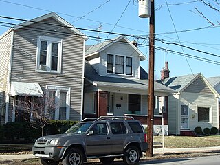
Meriwether is a neighborhood two miles southeast of downtown Louisville, Kentucky, USA, and just east of the University of Louisville. It was laid out by David Meriwether in 1871 and the first houses were built in 1891. Nearly all of the homes are shotgun houses.

Butchertown is a neighborhood just east of downtown Louisville, Kentucky, United States, bounded by I-65, Main Street, I-71, Beargrass Creek and Mellwood Avenue.
Hamilton Heights is a neighborhood in the northern part of Manhattan in New York City. It is the northernmost part of the West Harlem area, along with Manhattanville and Morningside Heights to its south, and it contains the sub-neighborhood and historic district of Sugar Hill. Washington Heights lies to Hamilton Heights' north, and to its east is Central Harlem.

This is a list of official neighborhoods in Louisville, Kentucky. Like many older American cities, Louisville has well-defined neighborhoods, many with well over a century of history as a neighborhood.
Phoenix Hill is a neighborhood of Louisville, Kentucky just east of Downtown. Its boundaries are Market Street to the North, Preston Street to the West, Broadway to the South, and Baxter Avenue to the East. The Phoenix Hill neighborhood, settled before 1850 by German immigrants, is now a rich tapestry of people and a diverse mix of business, industry and residences.

Fairhill is a neighborhood on the east side of the North Philadelphia section of Philadelphia, Pennsylvania, United States. Fairhill is bordered by Front Street to the east, Germantown Avenue to the west, Allegheny Avenue to the north, and Cumberland Street to the south. The neighborhood serves as the center of the Hispanic community of Philadelphia, and is known for its "El Centro de Oro" commercial strip along North 5th Street. Fairhill is adjacent to Harrowgate and West Kensington to the east, Hartranft to the south, Glenwood to the west, and Hunting Park to the north.

Juniata is a working class, predominantly Hispanic and Caucasian neighborhood in North Philadelphia, which is a section of the city of Philadelphia, Pennsylvania, United States. Juniata is located south of the Juniata Golf Club in Tacony Creek Park. It is bordered to the east by Frankford, to the west by Feltonville, and to the south by Harrowgate and Port Richmond. The neighborhood is bordered by G Street to the west, Juniata Park to the north, Tacony Creek to the east, and by SEPTA rail tracks to the south. Juniata shares the ZIP code of 19124 with the nearby neighborhood of Frankford.

The Highlands is an area in Louisville, Kentucky which contains a high density of nightclubs, eclectic businesses, and many upscale and fast food restaurants. It is centered along a three-mile (5 km) stretch of Bardstown Road and Baxter Avenue and is so named because it sits atop a ridge between the middle and south forks of Beargrass Creek. The commercial area extends from the intersection of Bardstown Road and Taylorsville Road/Trevillian Way in the south, to the intersection of Baxter Avenue and Lexington Road in the north, a length of 3.2 miles (5.1 km). A 1⁄2-mile (800 m) section of the nearby Barret Avenue also contains many similar businesses. The residential area is separated from other adjacent areas like Germantown and Crescent Hill by the south and north forks of Beargrass Creek. The middle fork runs through Cherokee Park, and the south fork divides Germantown from Tyler Park, after flowing past several cemeteries and undeveloped forests downstream from Joe Creason Park. Due to its large collection of night clubs and restaurants, it is locally known as "Restaurant Row".

The neighborhoods of Milwaukee include a number of areas in southeastern Wisconsin within the state's largest city at nearly 600,000 residents.
Columbus, the state capital and Ohio's largest city, has numerous neighborhoods within its city limits. Neighborhood names and boundaries are not officially defined. They may vary or change from time to time due to demographic and economic variables.
The city of San Antonio in the U.S. state of Texas is composed of a number of neighborhoods and districts, spreading out surrounding the central Downtown Area.


