
Colebrookdale Township is a township in Berks County, Pennsylvania, United States. The population was 5,127 at the 2020 census.

New Britain Township is a township in Bucks County, Pennsylvania, United States. The population was 11,070 at the 2010 census.

East Norriton Township is a township and a census-designated place in Montgomery County, Pennsylvania, United States. The population was 13,590 at the 2010 census. It is served by the Norristown Area School District.
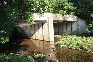
Franconia Township is a township in Montgomery County, Pennsylvania, United States. The population was 13,064 at the 2010 census.
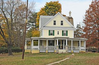
Hatfield Township is a township in Montgomery County, Pennsylvania, United States. The population was 17,249 at the 2010 census. It is part of the North Penn Valley region which is centered around the borough of Lansdale.

Horsham Township is a home rule municipality in Montgomery County, Pennsylvania. It is located ten miles north of Center City Philadelphia. The township, incorporated in 1717, is one of the oldest original municipalities in Montgomery County. Although it retains the word "Township" in its official name, it has been governed by a Home Rule Charter since 1975 and is therefore not subject to the Pennsylvania Township Code. The population was 26,564 at the time of the 2020 census.

Lower Frederick Township is a township in Montgomery County, Pennsylvania, United States. The population was 4,840 at the 2010 census.

Lower Gwynedd Township is a township and equestrian community in Montgomery County, Pennsylvania, United States. The population was 11,405 at the 2010 census. The township comprises four villages: Gwynedd, Gwynedd Valley, Penllyn, and Spring House. The township is considered a haven for those seeking a country lifestyle, while still being in close proximity to nearby towns and Center City Philadelphia. While its postal address is in Ambler, Pennsylvania (19002), it is not associated with the Borough of Ambler.
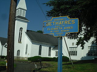
Lower Moreland Township is a township in Montgomery County, Pennsylvania, United States. The population was 13,917 at the 2020 census.

Marlborough Township is a township in Montgomery County, Pennsylvania, United States. The population was 3,178 at the 2010 census.

Montgomery Township is a township in Montgomery County, Pennsylvania. It is the location of the Montgomery Mall, a regional shopping mall serving the Route 309 corridor of the Philadelphia suburbs. Much of Montgomery Township's development is suburban in character, with newer tract houses and strip shopping centers. Homes in Montgomery Township have North Wales and Lansdale addresses, but businesses that are located within the township boundaries are given the Montgomeryville ZIP Code. The township is in the North Penn School District and is part of the North Penn Valley region that is centered around the borough of Lansdale.

Upper Dublin Township is a township in Montgomery County, Pennsylvania, United States. The population was 25,569 at the 2010 census. Until the 1950s, Upper Dublin was mostly farmland and open space, but transitioned to a residential suburb during the postwar population boom. The population went from just over 6,000 residents in the 1950s to just under 20,000 by 1970. Today, Upper Dublin is mostly spread-out development housing, and has the fourth highest median income in Montgomery County.

Upper Gwynedd Township is a township in Montgomery County, Pennsylvania. The population was 15,552 at the time of the 2010 census. North Wales Borough is surrounded by Upper Gwynedd Township on all sides, and many homes and businesses with North Wales addresses are actually in Upper Gwynedd. Many properties with Lansdale addresses are in Upper Gwynedd as well. It is part of the North Penn Valley region that is centered around the borough of Lansdale.

Upper Hanover Township is a township in Montgomery County, Pennsylvania, United States. The population was 6,464 at the 2010 census.

Whitemarsh Township is a Home rule municipality in Montgomery County, Pennsylvania. It retains its former classification of "Township" in its official name despite being a home rule municipality. The population was 17,349 at the 2010 census. Whitemarsh is adjacent to the neighborhood of Andorra in the Roxborough section of Philadelphia, and is bordered in Montgomery County by Springfield, Upper Dublin, Whitpain, and Plymouth townships, Conshohocken, and the Schuylkill River, which separates it from Lower Merion Township.

Whitpain Township is a township in Montgomery County, Pennsylvania, United States. Founded in 1701, it has grown to a total population of 18,875 as of the 2010 census.
Pennsylvania Route 663 (PA 663) is a 22.13-mile-long (35.61 km) state highway in Montgomery and Bucks counties in southeast Pennsylvania. Its southern terminus is at PA 100 in the borough of Pottstown and its northern terminus is at PA 309 and PA 313 in the borough of Quakertown, where the road continues eastward as PA 313. Along the way, PA 663 also passes through the borough of Pennsburg. It is called John Fries Highway between Pennsburg and Quakertown. It has an interchange with Interstate 476 at exit 44 west of Quakertown. The route was assigned in 1930, and it has had several realignments since its commissioning, including two major ones.
Prospectville is a populated place on the northwestern end of Horsham Township, a home rule municipality of Montgomery County, Pennsylvania, United States. Prospectville is located at the intersection of state routes 152 and 463. It is located about 18 miles (29 km) north of the city center of Philadelphia and 89 miles (143 km) east of Pennsylvania's capital city of Harrisburg. It is 12 miles (19 km) northeast of Norristown, the county seat, and six miles (9.7 km) southeast of Lansdale, its shipping depot. It is located within the Hatboro-Horsham School District and is served by the Ambler post office within ZIP code 19002.

U.S. Route 202 Business is a 10-mile (16 km) business route of US 202 in Montgomery and Bucks counties in the U.S. state of Pennsylvania, running between Montgomeryville and Doylestown. The route heads northeast from US 202 in Upper Gwynedd Township along five-lane Dekalb Pike through residential and commercial areas. In Montgomeryville, the route turns north to run concurrent with Pennsylvania Route 309 on five-lane Bethlehem Pike past several businesses. US 202 Bus. splits from PA 309 by turning northeast onto two-lane Doylestown Road. The route crosses into Bucks County and becomes Butler Avenue, passing through Chalfont and New Britain and curving east. West of Doylestown, the business route ends at an interchange with PA 611 in Doylestown Township.
Gwynedd is an unincorporated community in Lower Gwynedd Township in Montgomery County, Pennsylvania, United States. Gwynedd is located at the intersection of U.S. Route 202 and Sumneytown Pike.


