Related Research Articles

Pasadena is a city in the U.S. state of Texas, within the Houston–The Woodlands–Sugar Land metropolitan area. As of the 2010 U.S. Census, the city's population is 149,043, making it the seventeenth most populous city in the state of Texas, as well as the second-largest city in Harris County. The area was founded in 1893 by John H. Burnett of Galveston, who named the area after Pasadena, California, because of the perceived lush vegetation.

South Houston is a city in the U.S. state of Texas, within Houston–The Woodlands–Sugar Land metropolitan area and Harris County. The population was 16,983 at the 2010 census. It is bordered by the cities of Houston and Pasadena, and geographically located southeast of Houston.

Pearland is a city in the U.S. state of Texas, within Brazoria County, with portions extending into Fort Bend and Harris counties. The city of Pearland is a principal city within the Houston–The Woodlands–Sugar Land metropolitan statistical area. At the 2010 U.S. census, the city's population was 91,252, up from a population of 37,640 at the 2000 census. Pearland's population growth rate from 2000 to 2010 was 142 percent, which ranked Pearland as the 15th-fastest-growing city in the U.S. during that time period, compared to other cities with a population of 10,000 or greater in 2000. Pearland is the third-largest city in the Greater Houston area, and from 2000 to 2010, ranked as the fastest-growing city in Greater Houston and the second-fastest-growing city in Texas. Per the American Community Survey of 2019 the population had risen to an estimated 122,460, and 131,448.

Clear Lake City is a master-planned community located in southeast Harris County, Texas, within the Bay Area of Greater Houston. It is the second-largest master-planned community in Houston — behind Kingwood. The majority of the community lies in the corporate limits of Houston, while a northern portion is in the city limits of Pasadena and a small eastern portion within the city limits of Taylor Lake Village.
Genoa is an area in Houston, Texas, United States located about 15 miles (24 km) southeast of Downtown Houston; it was formerly a distinct unincorporated area in Harris County.

Sharpstown is a master-planned community in the Southwest Management District, Southwest Houston, Texas It was one of the first communities to be built as a master-planned, automobile centered community and the first in Houston. Frank Sharp (1906–1993), the developer of the subdivision, made provisions not only for homes but also for schools, shopping and recreation areas. While this model has been duplicated countless times in the past fifty years, at the time it was quite revolutionary, attracting national media attention. The development was dedicated on March 13, 1955.

Westbury is a neighborhood in the Brays Oaks district of Southwest Houston, Texas, United States. It is located east of Bob White Road, north of U.S. Highway 90 Alternate, and west of South Post Oak Road, adjacent to the Fondren Southwest and Meyerland neighborhoods, just west of the southwest corner of the 610 Loop.

Alief is a working-class suburb in Southwest Harris County, Texas, United States. Most of Alief is within the city limits of Houston, while a portion of the community is in unincorporated Harris County.
Pasadena Independent School District is a school district that is based in Pasadena, Texas, United States.
Meyerland is a 6,000-acre (9 sq mi) community in southwest Houston, Texas, outside of the 610 Loop and inside Beltway 8. The neighborhood is named after the Meyer family, who bought and owned 6,000 acres (24 km²) of land in southwest Houston.
For the community near Tampa, see Westchase, Florida.

Houston Heights is a community in northwest-central Houston, Texas, United States. "The Heights" is often referred to colloquially to describe a larger collection of neighborhoods next to and including the actual Houston Heights. However, Houston Heights has its own history, distinct from Norhill and Woodland Heights.

J. Frank Dobie High School is a public secondary school located in Houston, Texas. Founded in 1968, it is named after the Texas writer of the same name. It houses grades 10-12. A Ninth Grade Center was opened recently to help with the influx of students. It is the largest school in the Pasadena Independent School District. The school mascots are the Longhorns and the official colors are orange and black, similar to that of the University of Texas at Austin.
Sunset Terrace and Montclair Place are two Inner Loop neighborhoods of Harris County, Texas, United States. The two subdivisions are served by the Sunset Terrace/Montclair Civic Association.

Bordersville is a predominantly African American community on Farm to Market Road 1960 in northeast Harris County, Texas, United States. The community, located less than one half-mile from George Bush Intercontinental Airport, has about 80% of its territory in the City of Houston and the rest in an unincorporated area.
Riverside Terrace is a neighborhood in Houston, Texas, United States. It is along Texas State Highway 288 and north of the Texas Medical Center and located near Texas Southern University and University of Houston. There about 20 sections of Riverside Terrace that span across North and South MacGregor. The community, formerly an affluent Jewish neighborhood, became an affluent community for African Americans in the 1950s and '60s. It is still predominantly African American neighborhood with different income levels. It has been undergoing a gradual change in demographics and aesthetics due to gentrification efforts since the early 2000s.

Mykawa is an area within Houston, Texas, United States that was formerly a distinct unincorporated community in Harris County.
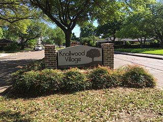
Knollwood Village is a subdivision in Houston, Texas. It is managed by the Knollwood Village Civic Club (KVCC), which governs Knollwood Village sections 1-10 and Braes Terrace II.
References
- ↑ Christian, Carol (2010-04-09). "With Sagemont, it's all about location". Houston Chronicle . Retrieved 2017-07-15.
- 1 2 Dodson, Doug (2005-04-14). "Working to clean up Sagemont". Houston Chronicle . Retrieved 2017-07-17.
- ↑ "Land once used as payment for fighting in war." South Belt-Ellington Leader . Retrieved on July 15, 2017.
- 1 2 3 4 5 "Sagemont Park." City of Houston. Retrieved on July 15, 2017.
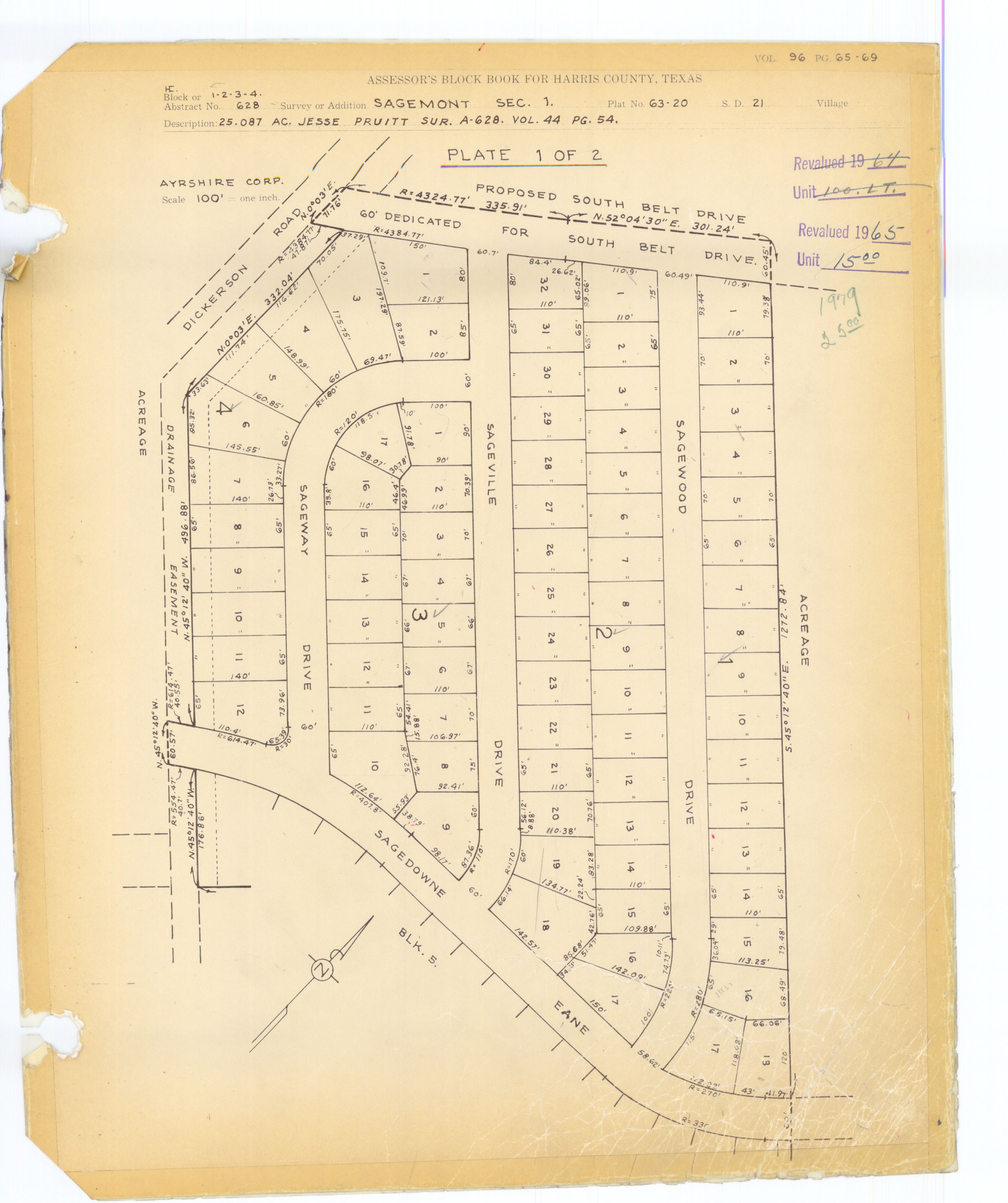
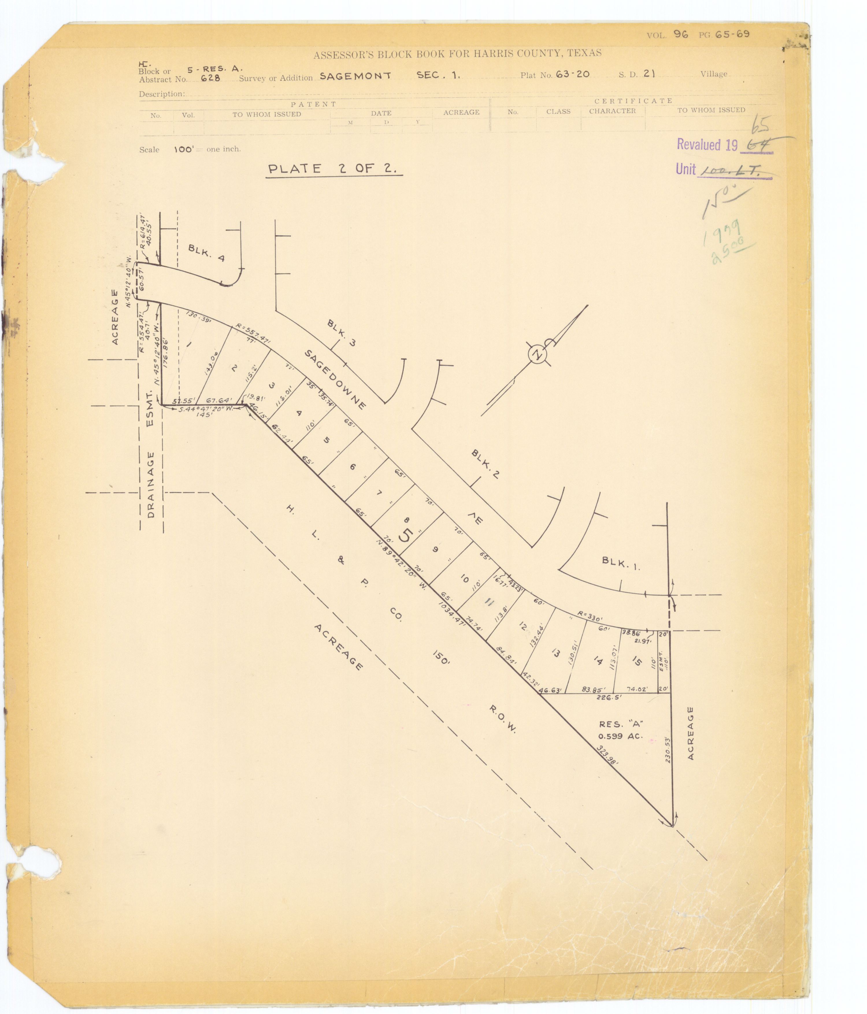
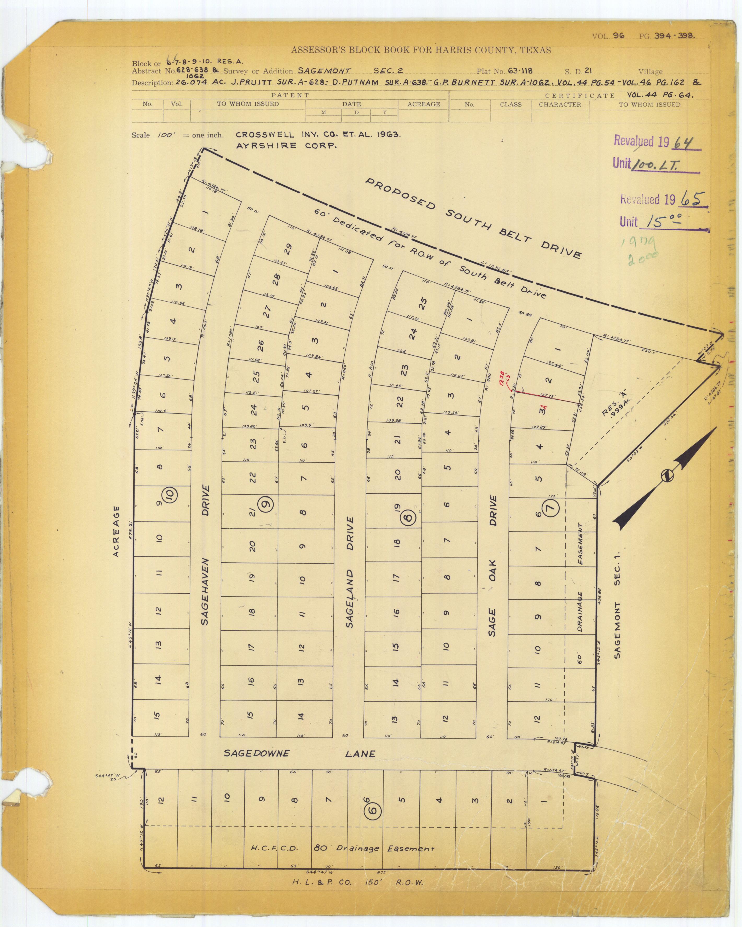
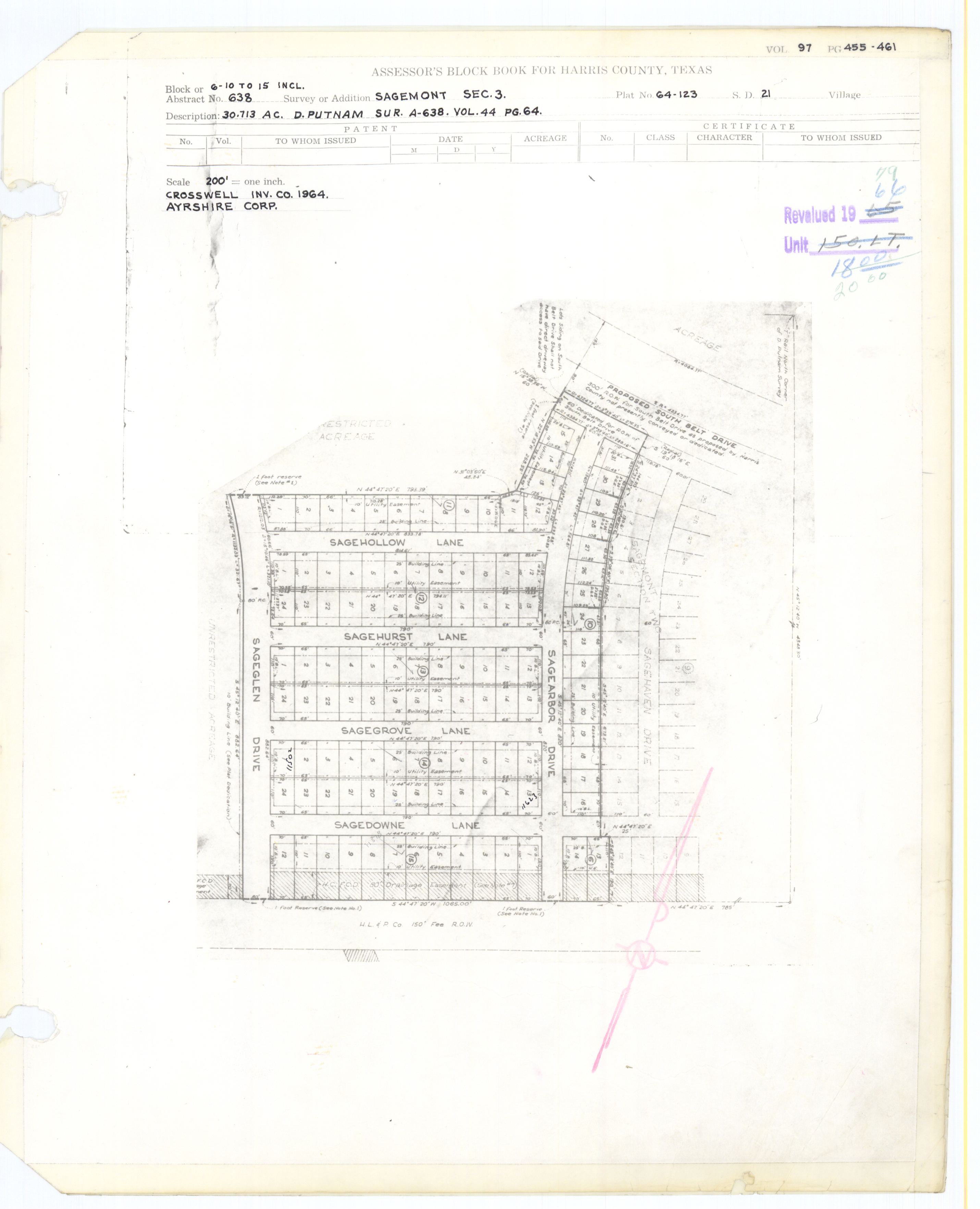
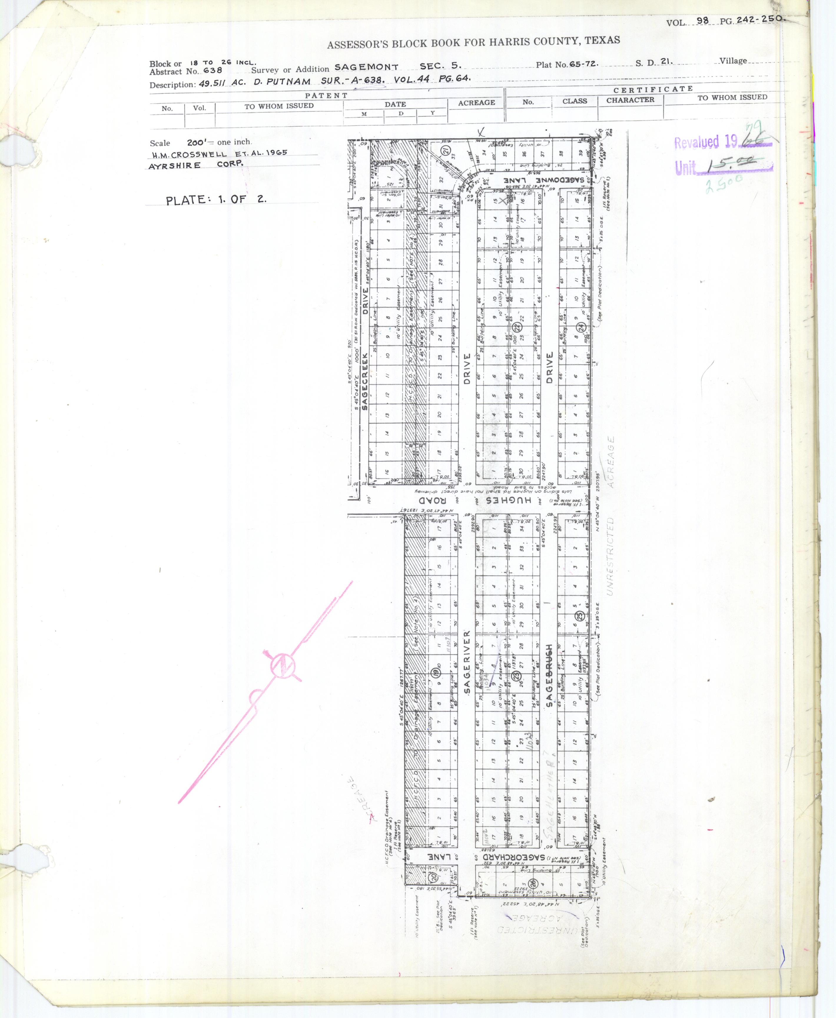
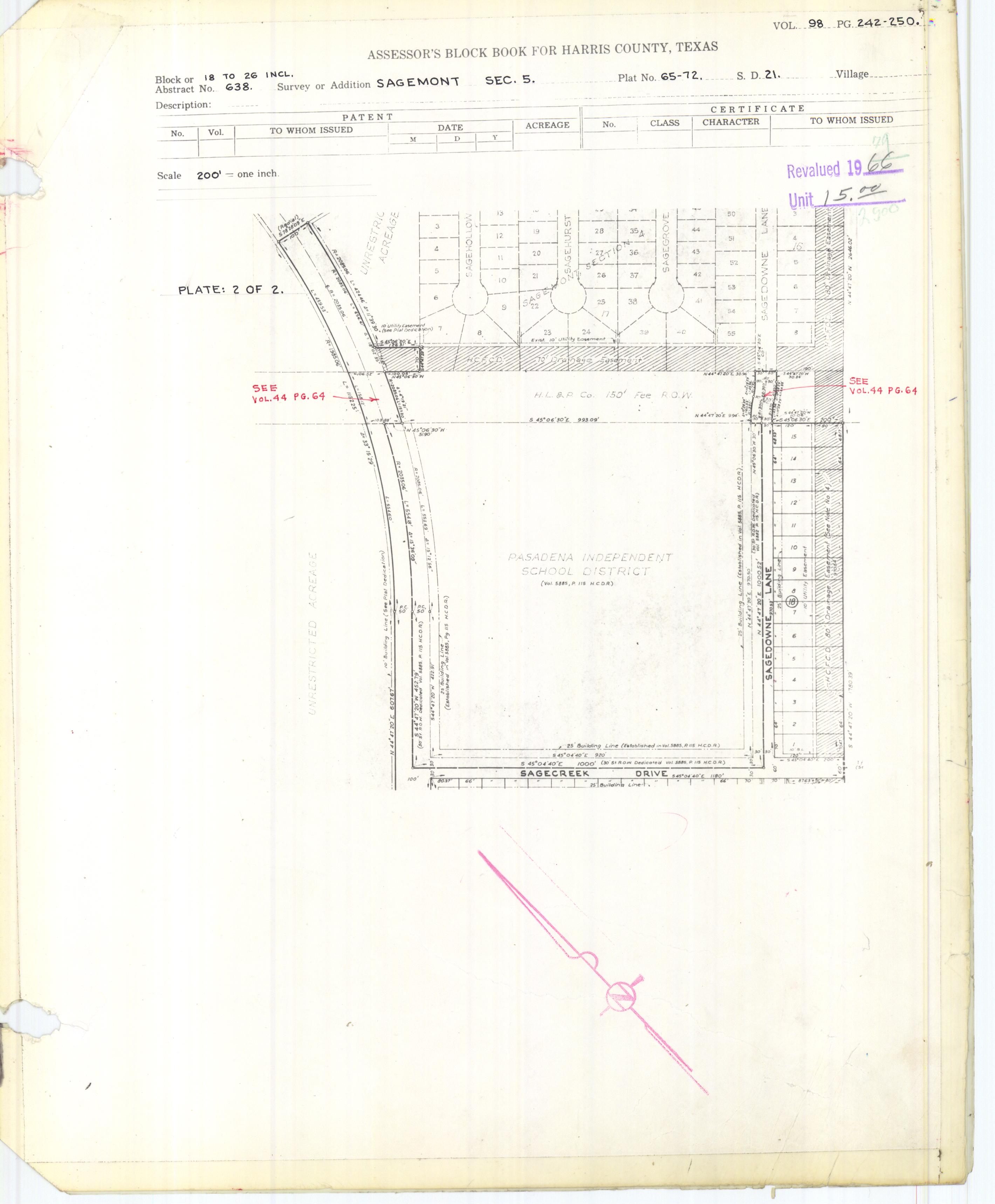
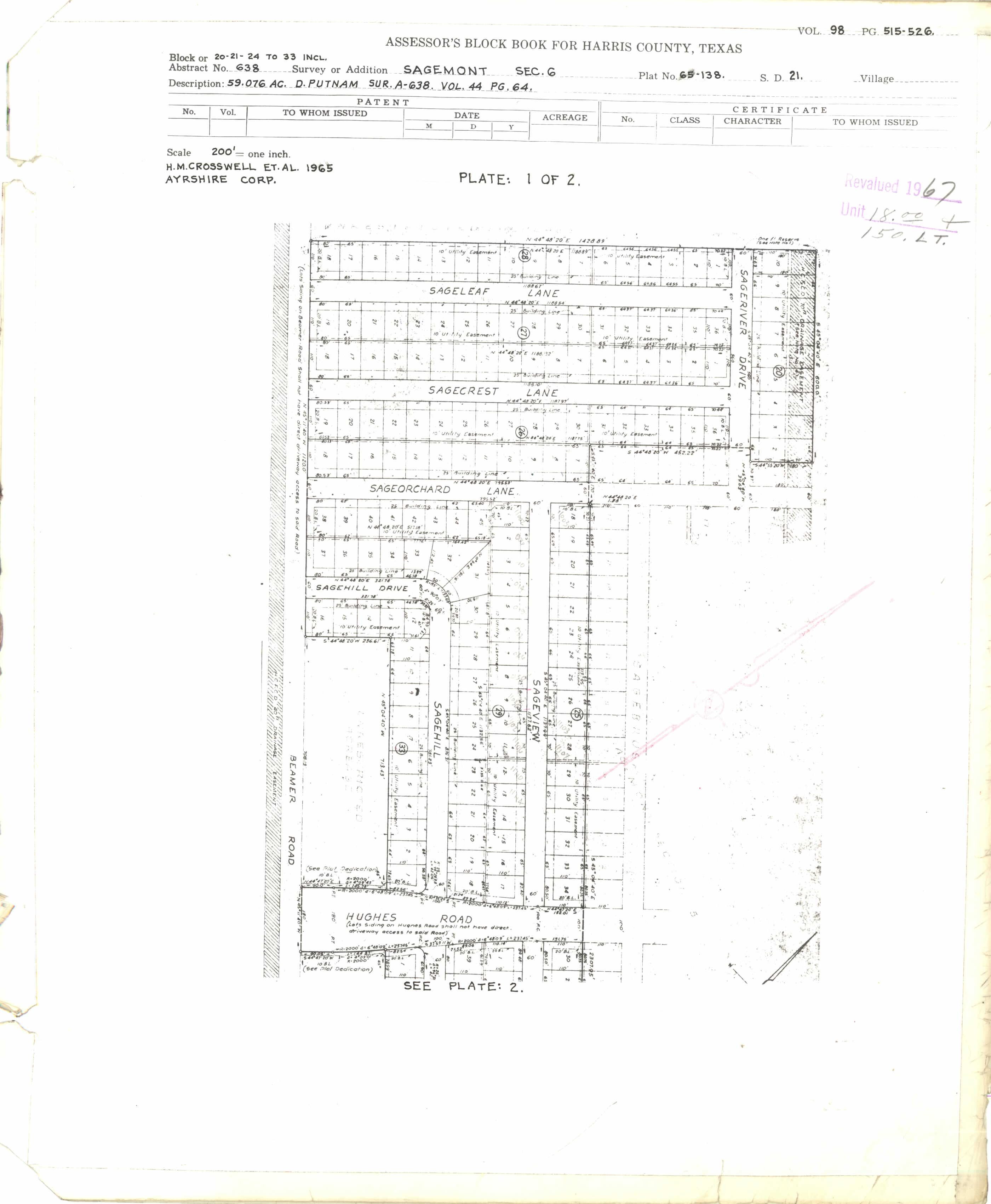
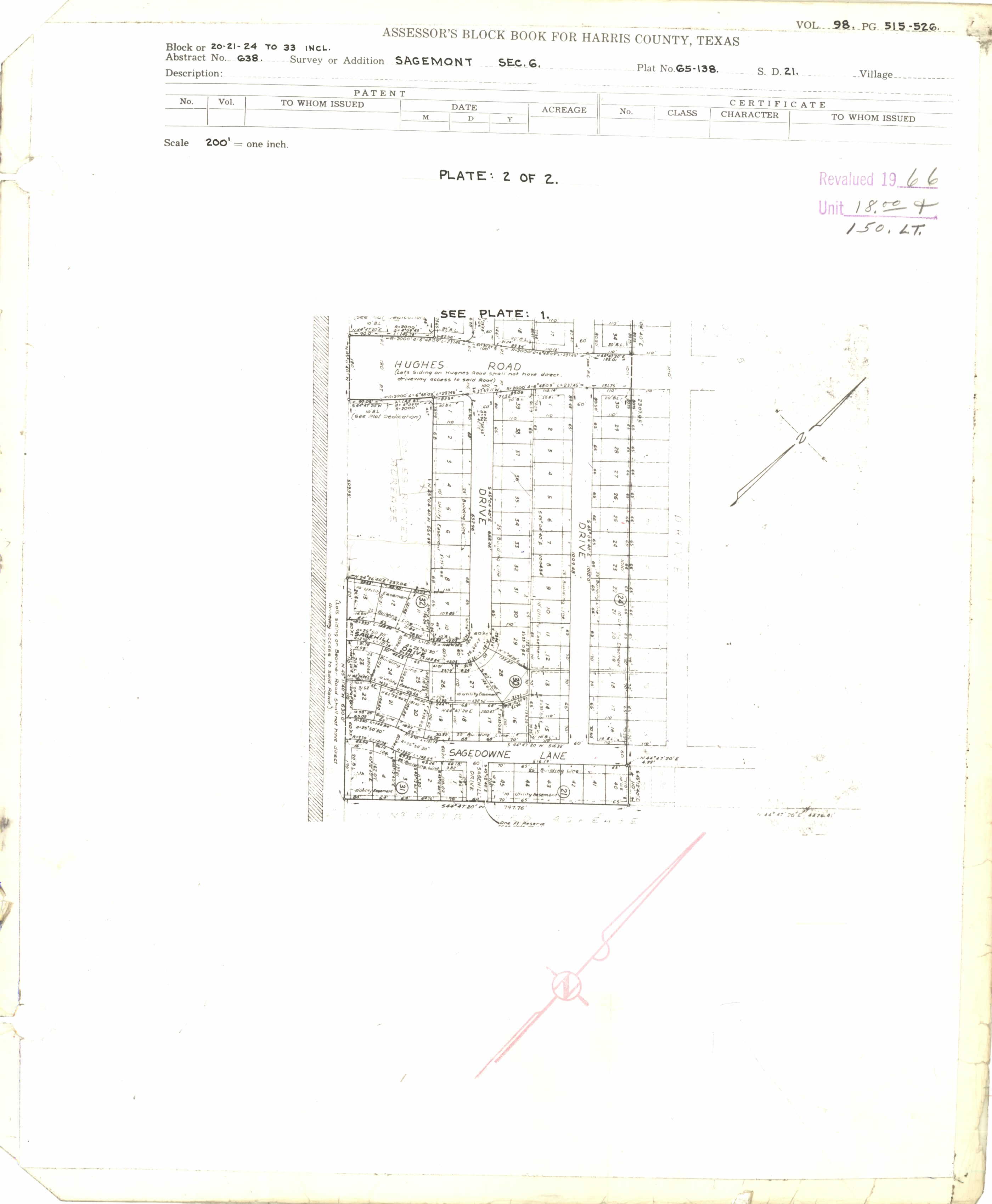
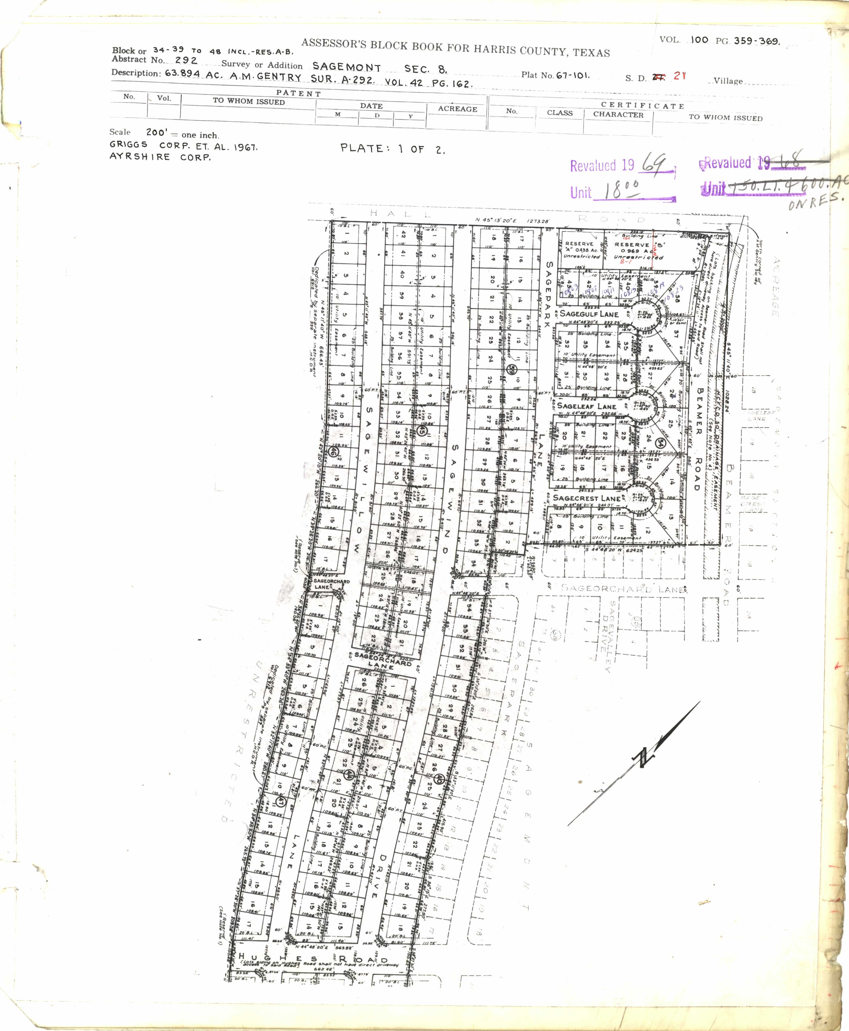
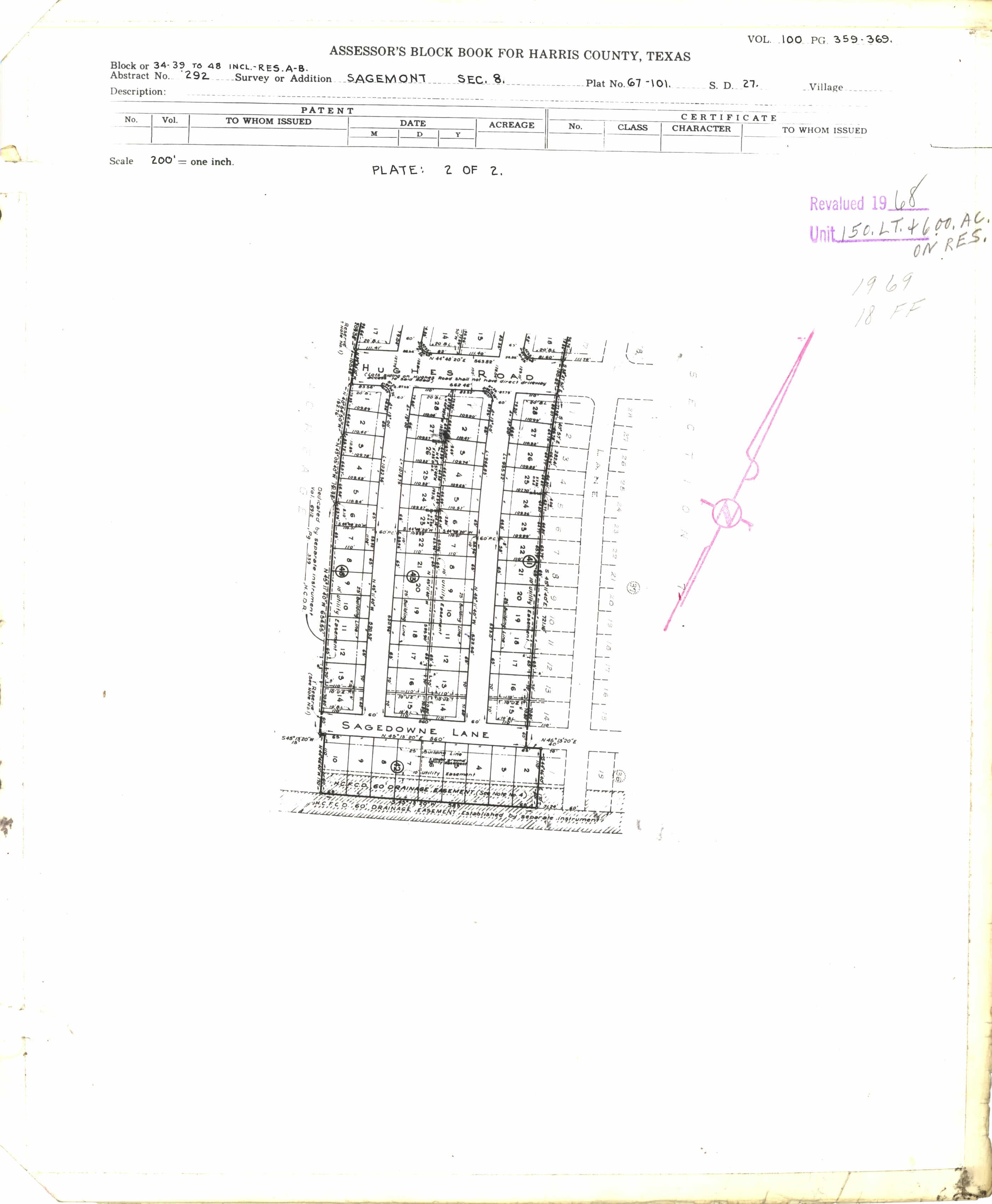
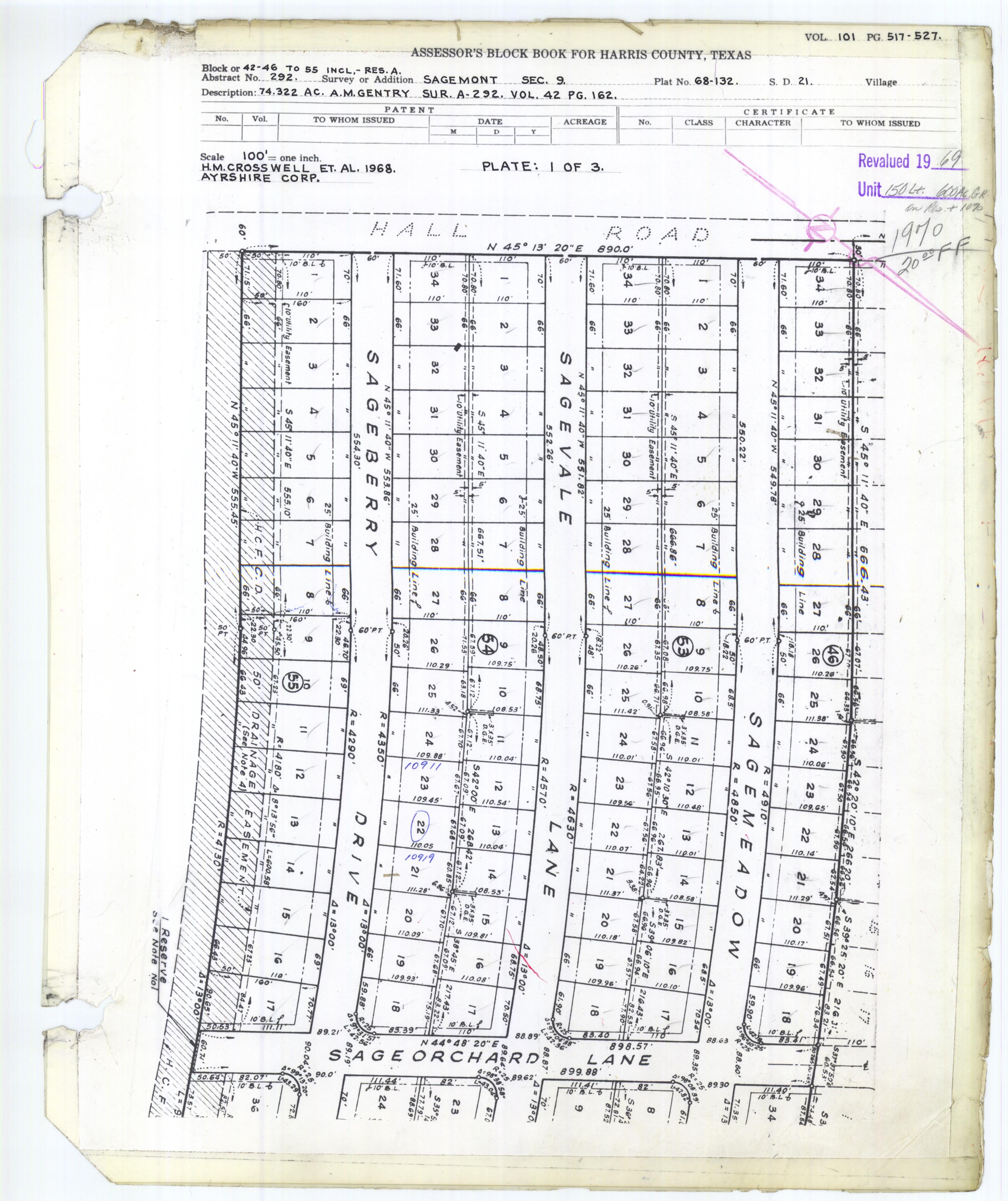
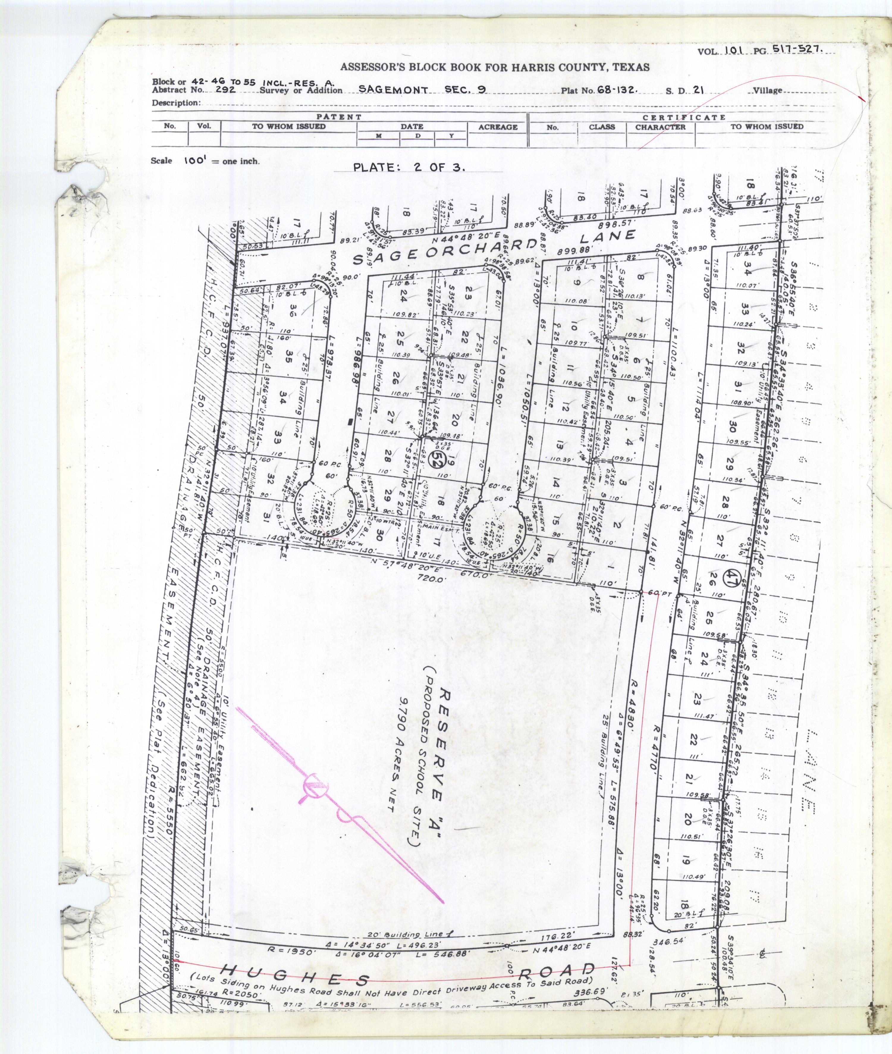
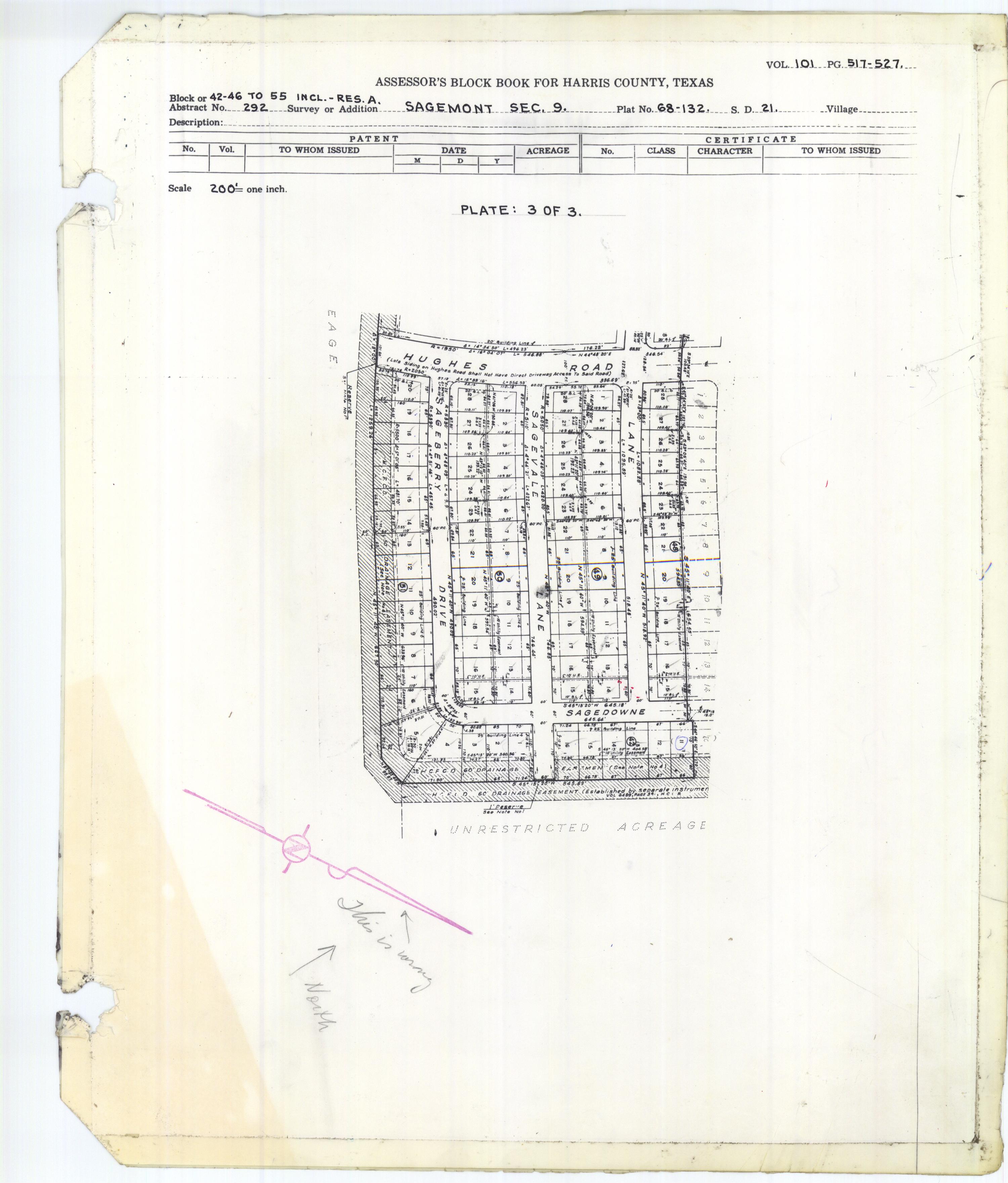
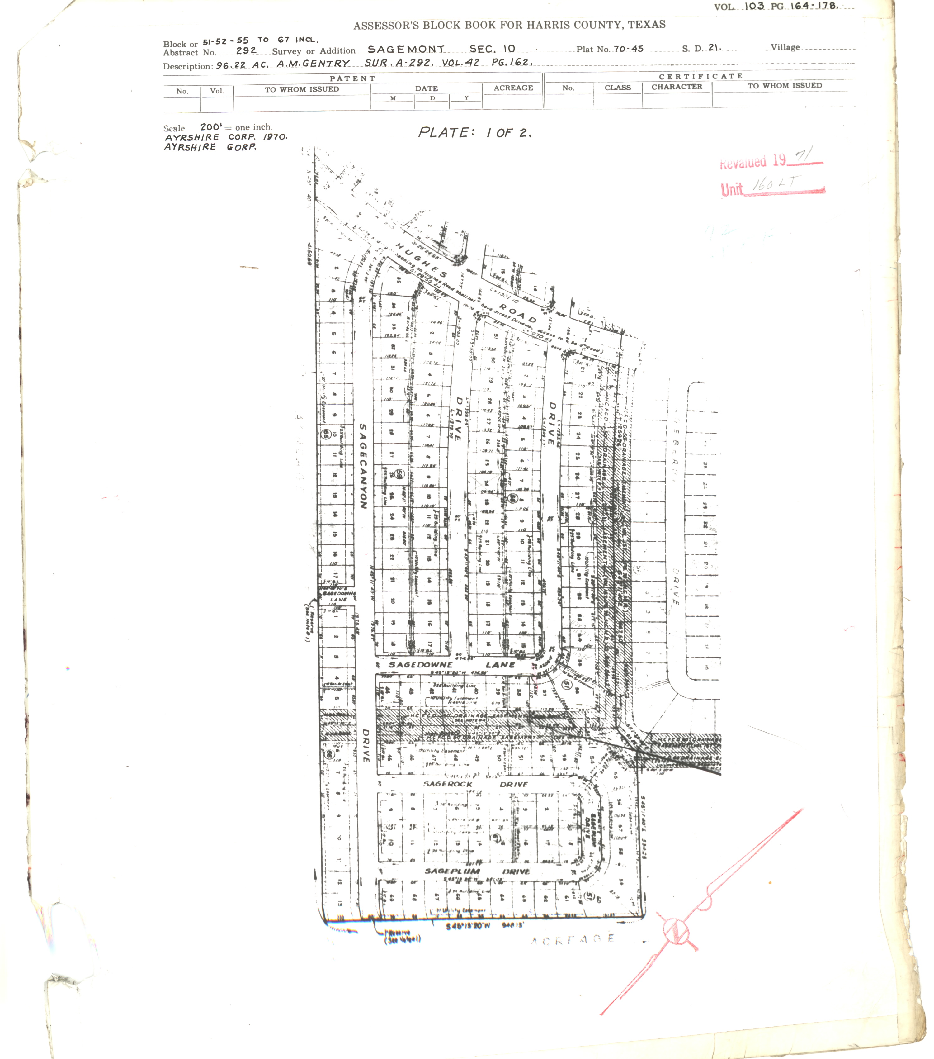
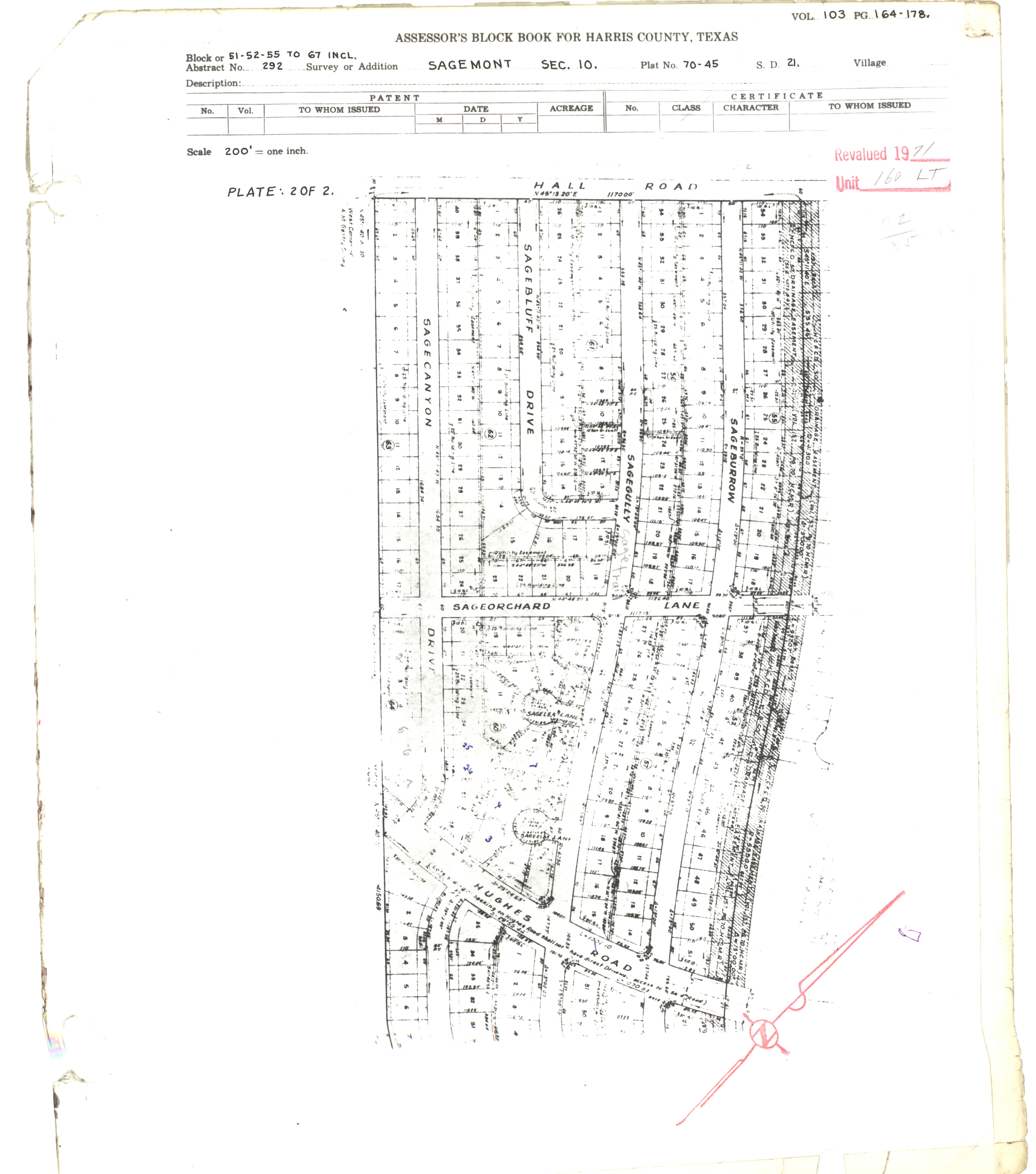
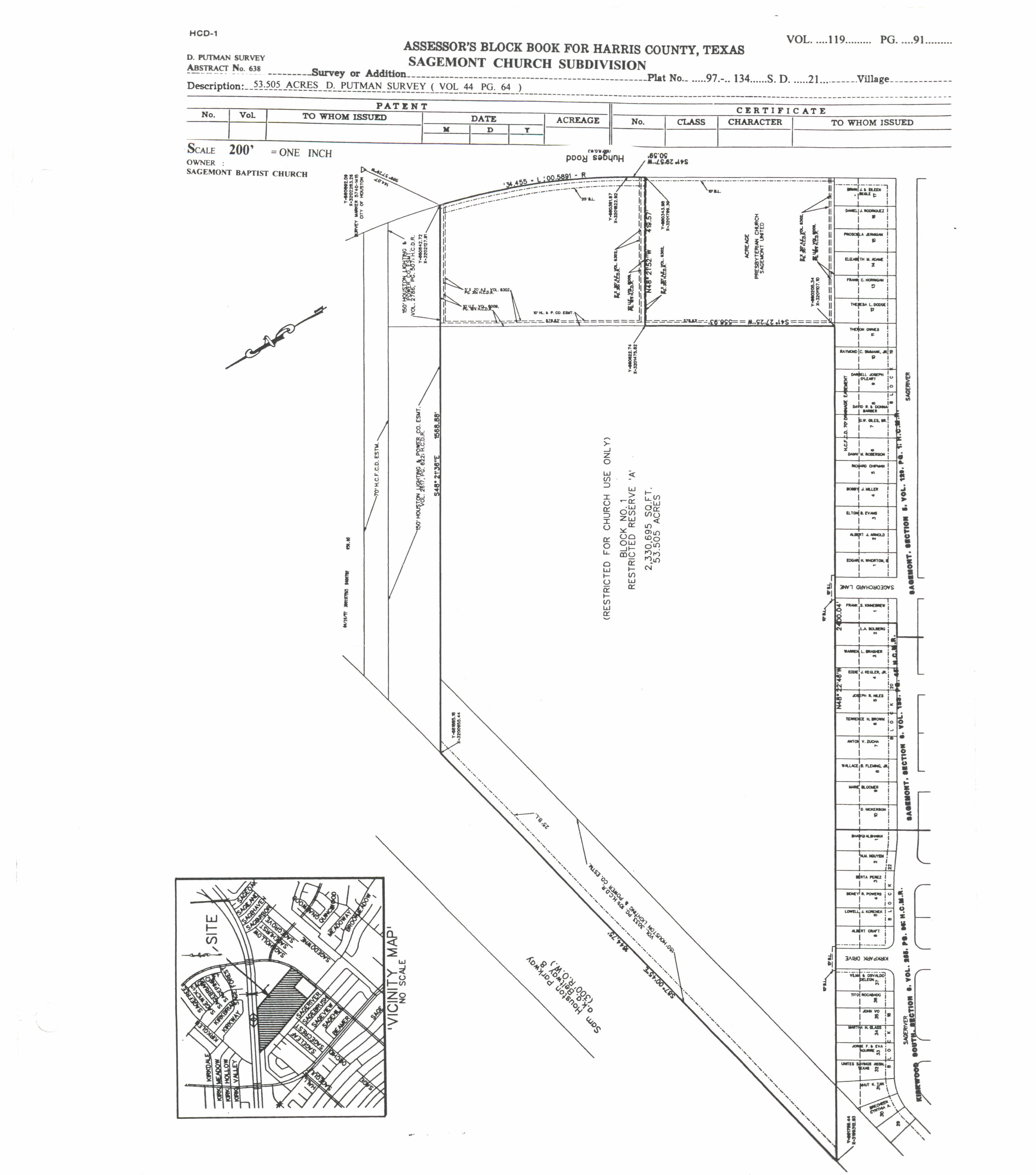
- ↑ Harris County Block book maps: Section 1 plates 1 and 2, Section 2, Section 3, Section 4, Section 5 Plates 1 and 2, Section 6 Plates 1 and 2, Section 7, Section 8 Plates 1 and 2, Section 9 Plates 1, 2, and 3, Section 10 Plates 1 and 2
- ↑ "Elementary Schools." Pasadena Independent School District. July 7, 2014. Retrieved on July 15, 2017.
- ↑ "5th Grade Centers & Middle Schools." Pasadena Independent School District. July 7, 2014. Retrieved on July 15, 2017.
- ↑ "Intermediate Schools." Pasadena Independent School District. February 27, 2009. Retrieved on July 15, 2017.
- ↑ "High Schools." Pasadena Independent School District. July 7, 2014. Retrieved on July 15, 2017.
- ↑ "Sagemont Section 5 Plate 2/2" (block book map). Government of Harris County. Retrieved on July 15, 2017.
- ↑ Home. Thompson Intermediate School. Retrieved on July 15, 2017. "11309 Sagedown Ln., Houston, Texas 77089"
- ↑ Home. Stuchbery Elementary School. Retrieved on July 15, 2017. "Stuchbery Elementary 11210 Hughes Rd, Houston, Texas 77089"
- ↑ Home. Frazier Elementary School. Retrieved on July 15, 2017. "Frazier Elementary 10503 Hughes Rd, Houston, Texas 77089"
- ↑ "Sagemont Section 9 Plate 2/3" (block book map). Government of Harris County. Retrieved on July 15, 2017.
- ↑ Shellnutt, Kate (2010-03-02). "Controversy over great big roadside crosses". Houston Chronicle . Retrieved 2017-07-19.
- ↑ Morgan, Kim Kyle (2012-06-07). "Paid in full: Sagemont opens worship center". Houston Chronicle . Retrieved 2017-07-19.
