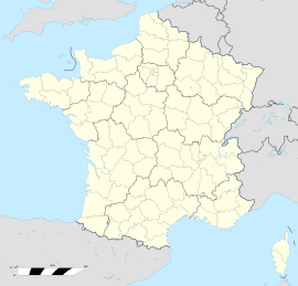
Attenschwiller is a commune in the Haut-Rhin department in Alsace in north-eastern France.

Wittelsheim is a commune in the Haut-Rhin department in Grand Est in north-eastern France.

Aspach-le-Bas is a commune in the Haut-Rhin department in Grand Est in north-eastern France.

Aspach is a commune in the Haut-Rhin department in Alsace in north-eastern France.
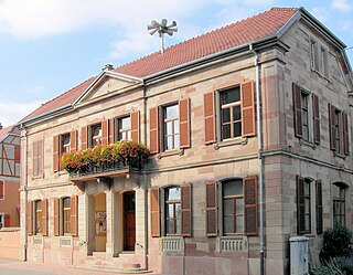
Artzenheim is a commune in the Haut-Rhin department in Grand Est in north-eastern France.

Meyenheim is a commune in the Haut-Rhin department in Grand Est in north-eastern France. It lies on the Ill river, 12km east of Soultz-Haut-Rhin.
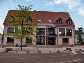
Baldersheim is a commune in the Haut-Rhin department in Alsace in north-eastern France. It forms part of the Mulhouse Alsace Agglomération, the inter-communal local government body for the Mulhouse conurbation.

Ranspach-le-Haut is a commune in the Haut-Rhin department in Alsace in north-eastern France.

Rumersheim-le-Haut is a commune in the Haut-Rhin department in Grand Est in north-eastern France.

Breitenbach-Haut-Rhin is a commune in the Haut-Rhin department in Grand Est in north-eastern France.

Bourbach-le-Haut is a commune in the Haut-Rhin department in Grand Est in north-eastern France.

Seppois-le-Haut is a commune in the Haut-Rhin department in Alsace in north-eastern France.

Raedersdorf is a commune in the Haut-Rhin department in Alsace in north-eastern France.

Blotzheim is a commune in the Haut-Rhin department, Alsace, northeastern France.

Buethwiller is a commune in the Haut-Rhin department in Alsace in north-eastern France.

Burnhaupt-le-Haut is a commune in the Haut-Rhin department in Grand Est in north-eastern France.

Osenbach is a commune in the Haut-Rhin department in Grand Est in north-eastern France.

Porte-du-Ried is a commune in the Haut-Rhin department of northeastern France. The municipality was established on 1 January 2016 and consists of the former communes of Holtzwihr and Riedwihr.
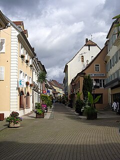
Masevaux-Niederbruck is a commune in the Haut-Rhin department of northeastern France. The municipality was established on 1 January 2016 and consists of the former communes of Masevaux and Niederbruck.
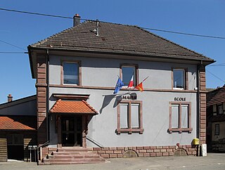
Le Haut-Soultzbach is a commune in the Haut-Rhin department of northeastern France. The municipality was established on 1 January 2016 and consists of the former communes of Mortzwiller and Soppe-le-Haut.