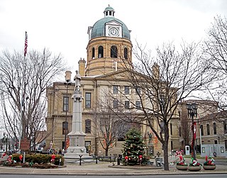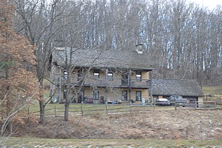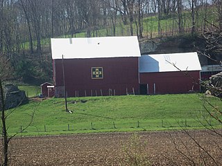
Tuscarawas County is a county located in the northeastern part of the U.S. state of Ohio. As of the 2020 census, the population was 93,263. Its county seat is New Philadelphia. Its name is a Delaware Indian word variously translated as "old town" or "open mouth". Tuscarawas County comprises the New Philadelphia–Dover, OH Micropolitan Statistical Area, which is also included in the Cleveland–Akron–Canton, OH Combined Statistical Area.

Coshocton County is a county located in the U.S. state of Ohio. As of the 2020 census, the population was 36,612. Its county seat and largest city is Coshocton. The county lies within the Appalachian region of the state. The county was formed on January 31, 1810, from portions of Muskingum and Tuscarawas Counties and later organized in 1811. Its name comes from the Delaware Indian language and has been translated as "union of waters" or "black bear crossing". Coshocton was mentioned by David Zeisberger in his diary from the 1780s using the German spelling "Goschachgünk". The Coshocton, OH Micropolitan Statistical Area includes all of Coshocton County.

Conesville is a village in Coshocton County, Ohio, United States, along the Muskingum River. The population was 328 at the 2020 census.

Coshocton is a city in and the county seat of Coshocton County, Ohio, United States, approximately 63 miles (101 km) east-northeast of Columbus. The population was 11,050 at the 2020 census. The Walhonding River and the Tuscarawas River meet in Coshocton to form the Muskingum River.

West Lafayette is a village in Coshocton County, Ohio, United States. The population was 2,417 at the 2020 census.

Adams Township is one of the twenty-two townships of Coshocton County, Ohio, United States. As of the 2020 census the population was 765.

Oxford Township is one of the twenty-two townships of Coshocton County, Ohio, United States. The 2020 census reported 1,554 people living in the township.

Bethlehem Township is one of the twenty-two townships of Coshocton County, Ohio, United States. As of the 2020 census the population was 1,054.

Crawford Township is one of the twenty-two townships of Coshocton County, Ohio, United States. As of the 2020 census the population was 1,950.

Franklin Township is one of the twenty-two townships of Coshocton County, Ohio, United States. The 2020 census reported 1,165 people living in the township.

Jackson Township is one of the twenty-two townships of Coshocton County, Ohio, United States. As of the 2020 census the population was 1,852.

Keene Township is one of the twenty-two townships of Coshocton County, Ohio, United States. As of the 2020 census the population was 1,623.

Lafayette Township is one of the twenty-two townships of Coshocton County, Ohio, United States. The 2020 census reported 4,250 people living in the township.

Mill Creek Township is one of the twenty-two townships of Coshocton County, Ohio, United States. The population as of the 2020 census was 1,032, up from 932 at the previous census.

Monroe Township is one of the twenty-two townships of Coshocton County, Ohio, United States. As of the 2020 census the population was 427.

Newcastle Township is one of the twenty-two townships of Coshocton County, Ohio, United States. As of the 2020 census the population was 442.

Tiverton Township is one of the twenty-two townships of Coshocton County, Ohio, United States. As of the 2020 census the population was 492.

Washington Township is one of the twenty-two townships of Coshocton County, Ohio, United States. As of the 2020 census the population was 727.

White Eyes Township is one of the twenty-two townships of Coshocton County, Ohio, United States. As of the 2020 census the population was 1,222.

East Rochester is an unincorporated community and census-designated place (CDP) in southern West Township, Columbiana County, Ohio, United States. The population was 224 as of the 2020 census. It lies along U.S. Route 30, and has a post office with the ZIP code 44625. It is a part of the Salem micropolitan area, about 20 miles (32 km) east of Canton.


