Related Research Articles
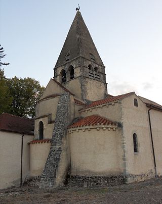
Celles-sur-Durolle is a commune in the Puy-de-Dôme department in Auvergne-Rhône-Alpes in central France. The town was known by the name of Celles until 1929.

Aubigny is a commune of the Allier department in central France.

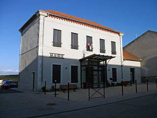
Besson is a commune in the Allier department in central France.
Le Vernet is a commune in the Allier department in Auvergne-Rhône-Alpes in central France.

Andelaroche is a commune in the Allier department in the Auvergne-Rhône-Alpes region of central France.
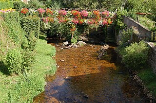
Arfeuilles is a commune in the Allier department in the Auvergne-Rhône-Alpes region of central France.
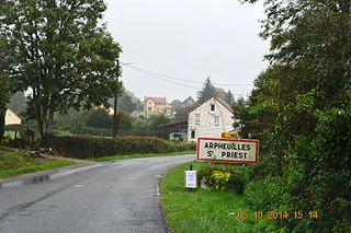
Arpheuilles-Saint-Priest is a commune in the Allier department in the Auvergne-Rhône-Alpes region of central France.

Arronnes is a commune in the Allier department in the Auvergne-Rhône-Alpes region of central France.

Aurouër is a commune in the Allier department in the Auvergne-Rhône-Alpes region of central France.
Beaune-d'Allier is a commune in the Allier department in central France.
Bègues is a commune in the Allier department in central France.

Bellerive-sur-Allier is a commune in the Allier department in central France.

Charmeil is a commune in the Allier department in central France.

Creuzier-le-Neuf is a commune in the Allier department in central France.
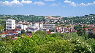
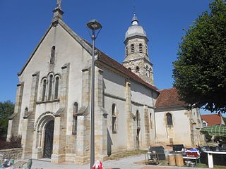
Cusset is a commune in the department of Allier, in the central French region of Auvergne. Situated in the foothills of the Bourbonnaise Mountains, the city is a suburb of Vichy and ranks fourth in population for the department.

Gipcy is a commune in the Allier department in central France.

Chidrac is a commune in the Puy-de-Dôme department in Auvergne-Rhône-Alpes in central France.

Gannat is a canton of the Allier department, Auvergne-Rhône-Alpes, France. At the French canton reorganisation which came into effect in March 2015, the canton was expanded from 12 to 41 communes:

The canton of Bellerive-sur-Allier is an administrative division of the Allier department, in central France. It was created at the French canton reorganisation which came into effect in March 2015. Its seat is in Bellerive-sur-Allier.

The canton of Moulins-2 is an administrative division of the Allier department, in central France. It was created at the French canton reorganisation which came into effect in March 2015. Its seat is in Moulins.