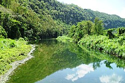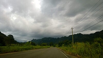
Espino is a barrio in the municipality of San Lorenzo, Puerto Rico. Its population in 2010 was 3,430.
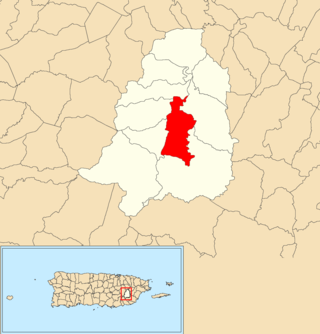
Cayaguas is a barrio in the municipality of San Lorenzo, Puerto Rico. Its population in 2010 was 1,682.

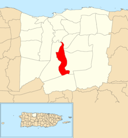
Tanamá is a barrio in the municipality of Arecibo, Puerto Rico. Its population in 2010 was 3,190.

Carreras is a barrio in the municipality of Añasco, Puerto Rico. Its population in 2010 was 3,780.

Lomas is a barrio in the municipality of Canóvanas, Puerto Rico. Its population in 2010 was 5,336.

Río Arriba is a barrio in the municipality of Arecibo, Puerto Rico. Its population in 2010 was 858.
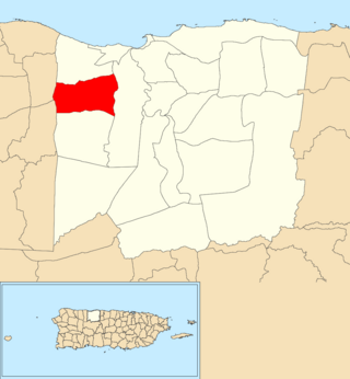
Hato Arriba is a barrio in the municipality of Arecibo, Puerto Rico. Its population in 2010 was 8,495.

Miraflores is a barrio in the municipality of Arecibo, Puerto Rico. Its population in 2010 was 5,863.

Santana is a barrio in the municipality of Arecibo, Puerto Rico. Its population in 2010 was 5,253.

Garrochales is a barrio located in the northeastern area of the municipality of Arecibo, Puerto Rico. Its population in 2010 was 2,433.

Hato Viejo is a barrio in the municipality of Arecibo, Puerto Rico. Its population in 2010 was 2,045.

Arenalejos is a barrio in the municipality of Arecibo, Puerto Rico. Its population in 2010 was 3,064. Arenalejos is near the center of Arecibo, west of Miraflores.

Arrozal is a barrio in the municipality of Arecibo, Puerto Rico. Its population in 2010 was 1,445.

Cambalache is a barrio in the municipality of Arecibo, Puerto Rico. Its population in 2010 was 40.

Domingo Ruíz is a barrio in the municipality of Arecibo, Puerto Rico. Its population in 2010 was 3,153.

Dominguito is a barrio in the municipality of Arecibo, Puerto Rico. Its population in 2010 was 4,895.

Esperanza is a barrio in the municipality of Arecibo, Puerto Rico. Its population in 2010 was 1,882.
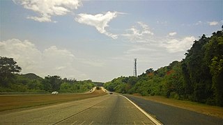
Factor is a barrio in the municipality of Arecibo, Puerto Rico. Its population in 2010 was 8,001.

Islote is a barrio in the municipality of Arecibo, Puerto Rico. Its population in 2010 was 5,665. "Birth of a New World", a giant sculpture of Christopher Columbus on a ship, is located in Islote.

Sabana Hoyos is a barrio in the municipality of Arecibo, Puerto Rico. Its population in 2010 was 10,745.
