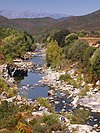
Course
The Casaluna is 25.17 kilometres (15.64 mi) long. It crosses the communes of Aiti, Cambia, Carticasi, Castineta, Érone, Gavignano, Lano, Morosaglia, Saliceto and San-Lorenzo. [1]
The Casaluna rises to the west of the 1,712 metres (5,617 ft) Monte Muffraje in the commune of Carticasi. Its source is at an altitude of 1,559 metres (5,115 ft). It flows with many meanders in a generally northwest direction to its confluence with the Golo to the south of Ponte Leccia. Its mouth is at an altitude of 207 metres (679 ft). In its lower course it defines the eastern boundary of the Forêt de Pineto.

The Golo is the longest river on the island of Corsica, France, at 89.4 kilometres (55.6 mi)
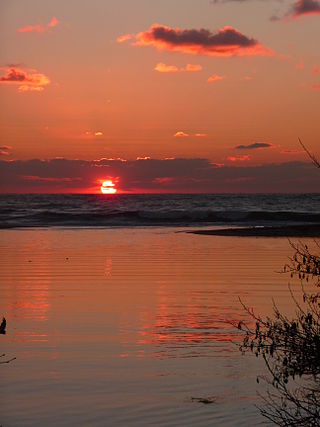
The Liamone river is a river of Corsica, France. The river gave its name to the former French department of Liamone. In antiquity, it bore the Latin name Circidius.
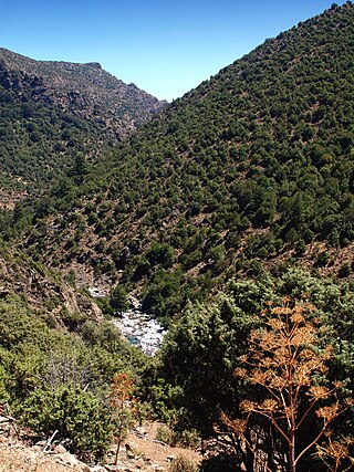
The Asco is a small river in the department of Haute-Corse, Corsica, France. It is a tributary of the Golo. The river rises in the Monte Cinto massif among some of the highest mountains of Corsica, passes a ski resort and the old village of Asco and cuts through a dramatic 4 kilometres (2.5 mi) gorge before joining the Golo.
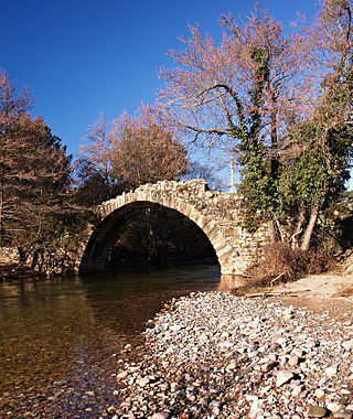
The Tartagine is a river in the department of Haute-Corse, Corsica, France. It flows through the Monte Cinto massif. It is a tributary of the Asco, which in turn is a tributary of the Golo.
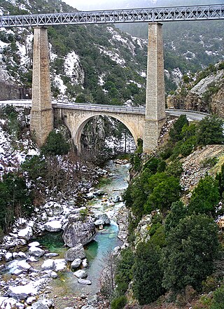
The Vecchio is a river in the department of Haute-Corse, Corsica, France. It is a tributary of the river Tavignano.

The Regino River is a small coastal river in the department of Haute-Corse, Corsica, France.

The Tagnone is a small river in the department of Haute-Corse, Corsica, France. It is a tributary of the river Tavignano.

The Bravone is a small coastal river in the department of Haute-Corse, Corsica, France.

The Fango is a small coastal river in the department of Haute-Corse, Corsica, France. The Fango Valley was designated a biosphere reserve in 1977. It holds flora and fauna representative of all regions of Corsica from the coast to the highest mountains.
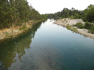
The Solenzara is a small coastal river in the departments of Corse-du-Sud and Haute-Corse, Corsica, France.

The Sisco is a small coastal stream in the department of Haute-Corse, Corsica, France. It enters the Tyrrhenian Sea from the east of the Cap Corse peninsula.
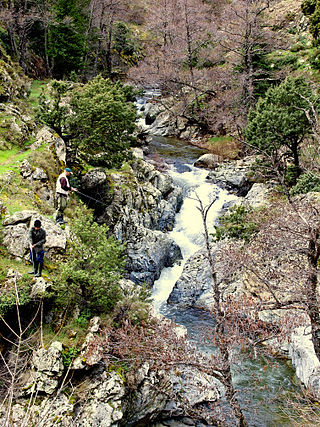
The Erco is a stream in the department of Haute-Corse, Corsica, France. It is a tributary of the Golo.

The Buccatoggio, or Bucatoggio, is a small coastal river in the department of Haute-Corse, Corsica, France. It rises in the Monte San Petrone massif and flows into the Tyrrhenian Sea on the east of the island.

The Fium'Alto is a small coastal river in the department of Haute-Corse, Corsica, France.

The Butturacci is a coastal stream in the department of Corse-du-Sud, Corsica, France.

The Francolu is a coastal stream in the southeast of the department of Corse-du-Sud, Corsica, France.

The Ese is a river in the department of Corse-du-Sud, Corsica, France. It is a tributary of the Prunelli river, which it joins in the Lac de Tolla.

The Ortolo is a coastal river in the southwest of the department of Corse-du-Sud, Corsica, France. It is dammed to store water for irrigation.

The Cruzzini is a river in the center of the department of Corse-du-Sud, Corsica, France. It is a tributary of the river Liamone. The valley is isolated, heavily wooded, and surrounded by high and steep mountains. There is little tourism, and the population is poorer and older than in the island as a whole.

The Porto is a small coastal river in the northwest of the department of Corse-du-Sud, Corsica, France.
This page is based on this
Wikipedia article Text is available under the
CC BY-SA 4.0 license; additional terms may apply.
Images, videos and audio are available under their respective licenses.


