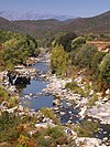
Course
The Sisco is 6.51 kilometres (4.05 mi) long and flows through the commune of Sisco, Haute-Corse. [1] It rises at an altitude of 660 metres (2,170 ft) on the side of the Guado a l'Alzi. Its source is to the east of the 1,236 metres (4,055 ft) Rocher de Pruberzulu and south of Pietracorbara. The stream flows east-southeast to the sea, where its mouth is in the town of Sisco. It enters the sea at the Sisco marina, to the north of the pebble beach. Woods along the Sisco are mainly composed of holm oak, cork oak, chestnut, olive, beech and alder. The D32 road parallels the stream for most of its course.
The stream is called U Fiume di Siscu in the Corsican language.

The Abatesco is a French coastal river which flows through the Haute-Corse department and empties into the Tyrrhenian Sea.

The Aglia is a 9 kilometres (5.6 mi) long stream in the department of Haute-Corse, Corsica, a tributary of the Abatesco.

The Travo River is a river that crosses the Corse-du-Sud and Haute-Corse departments on the French island of Corsica. It flows through a relatively undisturbed natural environment, and its watershed has been recognized for its ecological value. The river contains deep natural swimming pools.

The Lac de l'Argentella is a reservoir in the Haute-Corse department of Corsica, France. It was built in the 1870s to supply water to the ore processing plant of the Argentella mines, which refined silver and copper ore extracted from the nearby Capu di l'Argentella. After a few years the ore supply became uneconomical, and eventually the mines were closed in the 1930s. Recently there has been discussion on what to do with the aging dam. It stores water in a dry region, but may be unsafe.

The Restonica is a small river in the department of Haute-Corse, Corsica, France. It is a tributary of the river Tavignano. The river has a steep and rocky course with many pools and waterfalls. The valley contains two lakes, and is a popular tourist destination.

The Luri is a coastal stream in the department of Haute-Corse, Corsica, France. It flows across the Cap Corse peninsula to the Tyrrhenian Sea.

The Figarella is a small coastal river in the northwest of the department of Haute-Corse, Corsica, France.
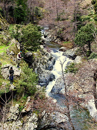
The Erco is a stream in the department of Haute-Corse, Corsica, France. It is a tributary of the Golo.

The Ruisseau de Pietracorbara is a coastal stream in the department of Haute-Corse, Corsica, France. It rises in the Monte Stello massif on Cap Corse and flows into the Tyrrhenian Sea on the east of the island.

The Francolu is a coastal stream in the southeast of the department of Corse-du-Sud, Corsica, France.
The Canella is a coastal stream in the south of the department of Corse-du-Sud, Corsica, France. It has ecologically interesting wetlands at its mouth.
The Lava is a coastal stream in the west of the department of Corse-du-Sud, Corsica, France.

The Liscu ) is a small coastal river in the north of the department of Haute-Corse, Corsica, France.
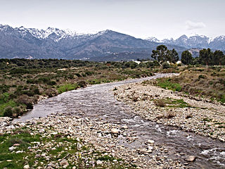
The Seccu River is a small coastal river in the department of Haute-Corse, Corsica, France.

The Poggiolo is a small coastal stream in the department of Haute-Corse, Corsica, France. It enters the Tyrrhenian Sea from the east of the Cap Corse peninsula.
The Chiosura is a small coastal stream in the department of Haute-Corse, Corsica, France. It enters the Tyrrhenian Sea from the east of the island.
The Chiola is a small coastal stream in the department of Haute-Corse, Corsica, France. It enters the Tyrrhenian Sea from the east of the island.
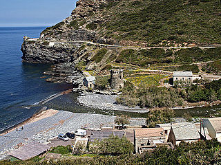
The Olmeta is a small coastal stream in the department of Haute-Corse, Corsica, France. It enters the Mediterranean Sea from the west of the Cap Corse peninsula.
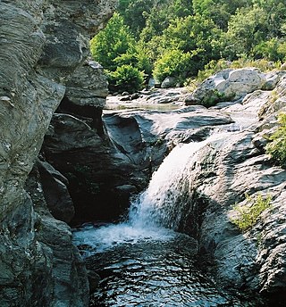
The Varagno is a stream in the department of Haute-Corse, Corsica, France. It is a tributary of the Fiumorbo.

The Saltaruccio is a stream in the department of Haute-Corse, Corsica, France. It is a tributary of the Fiumorbo.
This page is based on this
Wikipedia article Text is available under the
CC BY-SA 4.0 license; additional terms may apply.
Images, videos and audio are available under their respective licenses.


