Centreville, Texas | |
|---|---|
 Centreville  Centreville | |
| Coordinates: 32°19′50.73″N96°5′37.87″W / 32.3307583°N 96.0938528°W | |
| Country | United States |
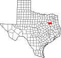
| State | Texas |
| County | Henderson |
| Area codes | 430, 903 |
| GNIS feature ID | 2034427 [1] |
Centreville is a ghost town in Henderson County, located in the U.S. state of Texas. [1] It was the county seat from 1848 to 1850. [2]