
Abbot is a town in Piscataquis County, Maine, United States. The population was 650 at the 2020 census. It was named for the treasurer of Bowdoin College, John Abbot.

Omer is a city in Arenac County in the U.S. state of Michigan. The population was 274 at the 2020 census, which ranks it as the least-populated city in the state.

Gunn City is a village in Cass County, Missouri, United States. The population was 118 at the 2010 census. It is part of the Kansas City metropolitan area.

Cabool is a city in Texas County, Missouri, United States. The population was 1,946 at the 2020 census.

Payne is a village in Paulding County, Ohio, United States. The population was 1,192 at the 2020 census.

Cleo Springs is a town in Major County, Oklahoma, United States. The population was 287 at the time of the 2020 Census.

Jackson Township is a township in York County, Pennsylvania, United States. The population was 8,737 at the 2020 census. It was founded in 1853 from parts of Paradise Township. Jackson Township education is served by the Spring Grove Area School District. Police coverage is provided by Northern York County Regional Police Department, and EMS is provided by Spring Grove Area Ambulance. The township is home to York Airport.
Bayview is a town in Cameron County, Texas, United States. The population was 475 at the 2020 census. It is part of the Brownsville–Harlingen–Raymondville and the Matamoros–Brownsville metropolitan areas.

Enchanted Oaks is a town in Henderson County, Texas, United States. The population was 347 at the 2020 census, down from 326 at the 2010 census.

Malone is a town in Hill County, Texas, United States. The population was 237 at the 2020 census.

Stagecoach is a town in Montgomery County, Texas, United States. The population was 580 at the 2020 census.
Roaring Springs is a town in Motley County, Texas, United States. The population was 217 at the 2020 census.

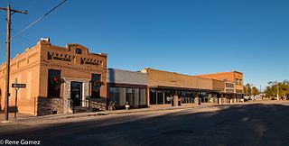
Plains is a town in and the county seat of Yoakum County of western Texas, United States. The city's population was 1,355 at the 2020 census. Yoakum County is in the Texas High Plains Wine country.

Worthington is a town in Marion County, West Virginia, United States. The population was 158 at the 2010 census. Worthington was incorporated in 1893 and named for Colonel George Worthington, an early settler. U.S. Route 19 passes through the town.

Anawalt is a town in McDowell County, West Virginia, United States. At one time it was known as Jeanette. It is named in honor of James White Anawalt, who was then manager of Union Supply Company, a subsidiary of the United States Steel Company. The population was 186 at the 2020 census. Coal mining was the town's chief industry.
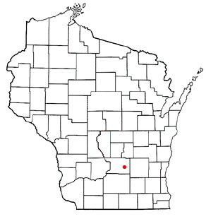
The Town of Otsego is located in Columbia County, Wisconsin, United States. The population was 757 at the 2000 census. The unincorporated community of Otsego is located in the town. The villages of Rio and Doylestown lie in the geographic area of the town of Otsego.
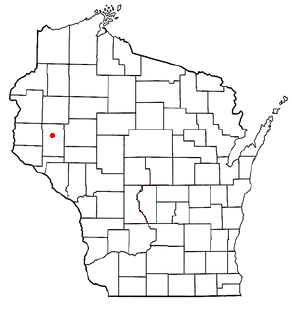
Sherman is a town in Dunn County, Wisconsin, United States. The population was 748 at the 2000 census.
The Town of Norrie is located in Marathon County, Wisconsin, United States. It is part of the Wausau, Wisconsin Metropolitan Statistical Area. The population was 976 at the 2010 census.

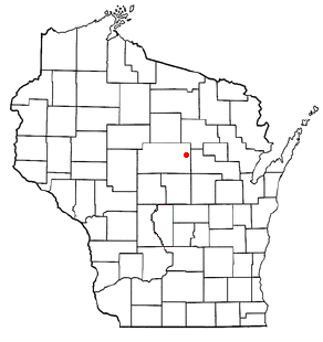
The Town of Texas is located in Marathon County, Wisconsin, United States. It is part of the Wausau, Wisconsin Metropolitan Statistical Area. The population was 1,615 at the 2010 census. The unincorporated community of Granite Heights is located in the town.

Eisenstein is a town in Price County, Wisconsin, United States. The population was 630 at the 2010 census.


