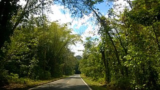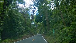
Guadiana is a barrio in the municipality of Naranjito, Puerto Rico. Its population in 2010 was 3,978.

Jaguas is a barrio in the municipality of Ciales, Puerto Rico. Its population in 2010 was 4,545.

Naranjales(Naranjales barrio) is a barrio in the municipality of Las Marías, Puerto Rico. Its population in 2010 was 558.

Jagual is a barrio in the municipality of San Lorenzo, Puerto Rico. Its population in 2010 was 4,042.

Pasto is a barrio in the municipality of Aibonito, Puerto Rico. Its population in 2010 was 4,184.

Limones is a barrio in the municipality of Yabucoa, Puerto Rico. Its population in 2010 was 3,234.

Hato Puerco is a barrio in the municipality of Villalba, Puerto Rico. Its population in 2010 was 7,728.

Perchas 2 is a barrio in the municipality of San Sebastián, Puerto Rico. Its population in 2010 was 988.

Media Luna is a barrio in the municipality of Toa Baja, Puerto Rico. Its population in 2010 was 12,221.

Cialitos is a barrio in the municipality of Ciales, Puerto Rico. Its population in 2010 was 1,449.

Frontón is a barrio in the municipality of Ciales, Puerto Rico. Its population in 2010 was 2,228.

Pesas is a barrio in the municipality of Ciales, Puerto Rico. Its population in 2010 was 2,361.

Ciales barrio-pueblo is a barrio and the administrative center (seat) of Ciales, a municipality of Puerto Rico. Its population in 2010 was 1,009.

Asomante is a barrio in the municipality of Aibonito, Puerto Rico. Its population in 2010 was 2,966.

Mariana is a barrio in the municipality of Naguabo, Puerto Rico. Its population in 2010 was 2,074.

Ceiba is a barrio in the municipality of Cidra, Puerto Rico. Its population in 2010 was 3,850.

Hato Puerco is a barrio in the municipality of Canóvanas, Puerto Rico. Its population in 2010 was 7,379.

Jiménez is a barrio in the municipality of Río Grande, Puerto Rico. Its population in 2010 was 2,925.

Canóvanas is a barrio in the municipality of Canóvanas, Puerto Rico. Its population in 2010 was 22,420.

Ciénaga Baja is a barrio in the municipality of Río Grande, Puerto Rico. Its population in 2010 was 18,385.


