Mecklenburg County is a county located in the southwestern region of the U.S. state of North Carolina, in the United States. As of the 2020 census, the population was 1,115,482, making it the second-most populous county in North Carolina, and the first county in the Carolinas to surpass one million in population. Its county seat is Charlotte, the state's largest municipality.

Matthews is a town in southeastern Mecklenburg County, North Carolina, United States. It is a suburb of Charlotte. The population was 27,198 according to the 2010 census.

Harris Teeter Supermarkets, LLC., also known as Harris Teeter Neighborhood Food & Pharmacy, is an American supermarket chain based in Matthews, North Carolina, a suburb of Charlotte. As of November 2024, the chain operates 262 stores in seven South Atlantic states and Washington, D.C. Supermarket News ranked Harris Teeter No. 34 in the 2012 "Top 75 Retailers & Wholesalers" based on 2011 fiscal year sales of $4.3 billion.

Myers Park is a neighborhood and historic district in Charlotte, North Carolina, United States.

Charlotte-Mecklenburg Schools is a local education agency headquartered in Charlotte, North Carolina and is the public school system for Mecklenburg County. With over 147,000 students enrolled, it is the second-largest school district in North Carolina and the eighteenth-largest in the nation. The system is best known nationally for its role as the respondent in the landmark 1971 Supreme Court decision Swann v. Charlotte-Mecklenburg Schools.

Route 4 is an 18.6-mile (29.9 km) partial ring road located in Charlotte, North Carolina. Beginning and ending at Interstate 85 (I-85), it loops south around Uptown Charlotte along state-maintained secondary roads, connecting the Charlotte Douglas International Airport and several city neighborhoods including Madison Park, Myers Park, Windsor Park and Sugar Creek. The route is posted by the Charlotte Department of Transportation (CDOT), using a modified pentagonal county road shield, with a green background and the city's crown logo above the number. The loop has a radius of about 4 miles (6.4 km), hence the number.

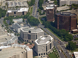
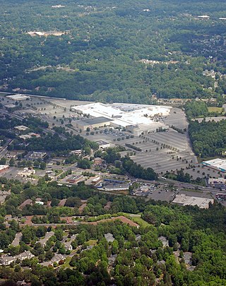
SouthPark is an area edge city in Charlotte, North Carolina, United States. Its name is derived from the upscale SouthPark Mall, which opened on February 12, 1970. At nearly 1.8 million square feet, SouthPark Mall is the largest shopping mall in Charlotte and all of the Carolinas. The area is geographically centered at the intersection of Fairview Road and Sharon Road in the south central sector of the city, about six miles south of Uptown Charlotte. In addition to being home to the mall, SouthPark is also a residential area and one of the larger business districts in Charlotte.

Plaza-Midwood is a neighborhood located approximately one mile to the northeast of Uptown in Charlotte, North Carolina. The neighborhood is roughly bound by Hawthorne Lane to the west, The Plaza to the north, Briar Creek Road and the Charlotte Country Club to the east and Central Avenue to the south.

Eastland is a neighborhood in Charlotte, North Carolina, USA. The area is named after the former eponymous mall, that was demolished in 2014. Eastland is almost seven and a half miles from Uptown, Charlotte.
Steele Creek is primarily considered to be a community and neighborhood in the southwestern part of Mecklenburg County in North Carolina. It is generally defined geographically by the original boundaries of Steele Creek Township. Most of Steele Creek is within the city limits of Charlotte but the areas that have not yet been annexed are also recognized as a Township of North Carolina.
Sedgefield is a neighborhood of Charlotte, North Carolina, United States. It is situated between Park Rd. and South Blvd and belongs to popular South End.

The Sherwood Forest neighborhood of Charlotte, North Carolina was established in the 1950s. In addition to the Sherwood Forest subdivision, the area also includes the Castleton Gardens and Charlestowne Manor subdivisions. The area is bisected by McMullen Creek and is bounded by Sardis Road to the south, Rama Road to the southeast, and by the former Seaboard Air Line Railroad, now CSXT to the northeast, Sharon Amity Road to the north, and Randolph Road to the west. Sherwood Forest is also neighbored by the areas known as East Forest, Stonehaven, Landsdowne, Providence Park, and Cotswold. The area's dominant architectural style is the ranch-style house with brick or wood exterior. In keeping with its namesake, some of the area's street names are attributed to characters and places in the Robin Hood stories.
Transportation in the city of Charlotte, North Carolina includes a large and growing mass transit and rail system, a major international airport, and several controlled-access highways.

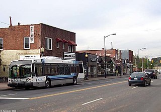
Park Road Shopping Center is an open air strip mall located in Charlotte, North Carolina. It is located northeast of the intersection of Woodlawn Road and Park Road in the south central part of Charlotte. Park Road Shopping Center has a nostalgic ambience, which is sustained by the pipe shop, soda shop, shoe repair shop, and many other stores that date back to the Post-World War II baby boom era.

The Charlotte metropolitan area, sometimes referred to as Metrolina, is a metropolitan area of the U.S. states of North and South Carolina, containing the city of Charlotte, North Carolina. The metropolitan area also includes the cities of Gastonia, Concord, Huntersville, and Rock Hill as well as the large suburban area in the counties surrounding Mecklenburg County, which is at the center of the metro area. Located in the Piedmont, it is the largest metropolitan area in the Carolinas, and the fourth largest in the Southeastern United States. The Charlotte metropolitan area is one of the fastest growing metropolitan areas in the United States.
Madison Park, a neighborhood in Charlotte, North Carolina, United States, is primarily made up of single-family and multi-family residential homes. It is commonly referred to as the Montford/Madison Park/Park Road Shopping Center area; acknowledged in a 2018 survey of more than 5,000 Charlotte residents. The zip-codes that make up Madison Park include 28217, 28210, and 28209. The neighborhood is located between South Boulevard, East Woodlawn Road, Park Road, and slightly extends beyond Tyvola Road. It has a Neighborhood Association, whereby the board of directors help determine the neighborhood boundaries.
Eastover is a residential neighborhood in Charlotte, North Carolina, United States. Eastover was the city’s first suburb to build houses with driveways and has attracted many of the prominent leaders who shaped Charlotte’s growth. One of the neighborhood’s major landmarks is the Mint Museum Randolph, which attracts visitors from all over the Charlotte area.

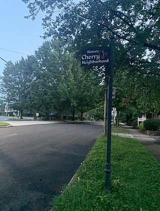
Cherry is a historical African-American neighborhood in Charlotte, North Carolina. Adjacent to Uptown Charlotte, it is bounded within Little Sugar Creek, Kenilworth Avenue, John Belk Freeway, East 4th Street, Queens Road, and Henley Place.


