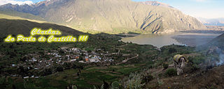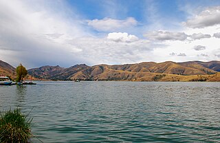
The Huari Province is one of twenty provinces of the Ancash Region in Peru. Its seat is Huari.

Huarochirí Province or Waruchiri is located in the Lima Region of Peru. Its capital is Matucana. The western section is part of the Lima Metropolitan Area.

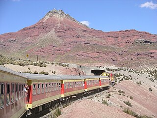
The Yauli Province is one of the nine provinces in Peru that form the Junín Region. It is bordered to the north by the Pasco Region and the Junín Province, to the east by the Tarma Province, to the south by the Jauja Province and to the west by the Lima Region. The population of the province was estimated at 66,093 inhabitants in 2002. The capital of the Yauli Province is La Oroya.

Quispicanchi Province is one of thirteen provinces in the Cusco Region in the southern highlands of Peru.

Curahuasi District is one of the nine districts of the Abancay Province in Peru.
Santillana District is one of eight districts of the Huanta Province in Peru.
Ollachea District is one of ten districts of the province Carabaya in Peru.

Canchayllo District is one of thirty-four districts of the Jauja Province in Peru. Its seat is Canchayllo.

Marcapomacocha District is one of ten districts of the Yauli Province in the Junín Region in Peru.

San Mateo District is one of thirty-two districts of the province Huarochirí in Peru.

Huantán District is one of thirty-three districts of the province Yauyos in Peru.

Pitumarca District is one of eight districts of the province Canchis in Peru.

Paucartambo is one of six districts of the Paucartambo Province in Peru.

Chinchero District is one of seven districts of the Urubamba Province in Peru. It is the location for the proposed Chinchero International Airport, which would serve travelers to the Cusco Region.

San Juan de Tarucani District is one of 29 districts of the province Arequipa in Peru.

Chachas District is one of fourteen districts of the province Castilla in Peru.
Santiago de Chocorvos District is one of the sixteen districts of the Huaytará province in Peru.
Pucacaca or Puka Qaqa is one of ten districts of the province Picota in Peru.
Chupamarca District is one of thirteen districts of the Castrovirreyna Province in Peru.

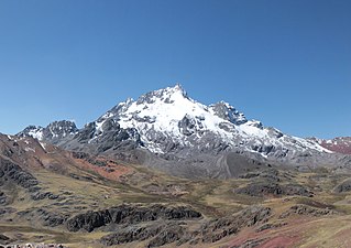
Yuraq Qaqa is a mountain in the Wansu mountain range in the Andes of Peru, about 4,800 metres (15,748 ft) high. It is situated in the Apurímac Region, Antabamba Province, Juan Espinoza Medrano District. Yuraq Qaqa lies west of the peaks of Quri Pawkara and southeast of Kuntur Wasi.


