
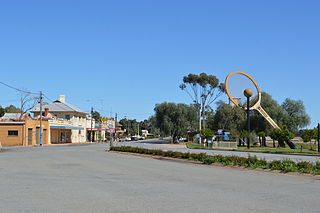
Tea Gardens is a locality in the Mid-Coast Council local government area, located near the southern extremity of the Mid North Coast and the northern extremity of the Hunter Region in New South Wales, Australia.

Nambucca Valley Council is a local government area in the mid north coast region of New South Wales, Australia.

Bellingen Shire is a local government area in the mid north coast region of New South Wales, Australia. The Shire is located adjacent to the Pacific Highway, Waterfall Way and the North Coast railway line.

The City of Coffs Harbour is a local government area in the mid north coast region of New South Wales, Australia. The area under administration is 1,175 square kilometres (454 sq mi), expanded in 2004 to take in parts of the former Pristine Waters local government area.

Kempsey Shire is a local government area in the mid north coast region of New South Wales, Australia.
Barellan is a small town in Narrandera Shire in the Riverina region of New South Wales, Australia. On Census night 2016, Barellan had declined to a population of 538. It is a quiet Riverina wheat town on the Burley Griffin Way, with characteristic silos, and functions primarily as a service centre for the surrounding agricultural area.
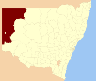
The Unincorporated Far West Region is an unincorporated area in the Far West region of New South Wales, Australia. The area is one of only two areas in New South Wales that are not part of any local government area. The region includes several small towns including Tibooburra, Milparinka and Silverton. Silverton and Tibooburra have village councils. The region surrounds Broken Hill, but does not include it, which is in the separate City of Broken Hill local government area.
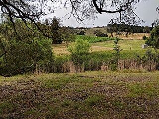
Upper Kangaroo River is a small village in the Southern Highlands of New South Wales, Australia, in Shoalhaven City Council. It is located on the Kangaroo River, a tributary of the Shoalhaven River. At the 2016 census, it had a population of 122.
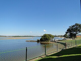
Harrington is a small village located on the northern entrance of the Manning River in New South Wales, Australia. It was established in 1853 and proclaimed a village on 26 September 1896. It is 15 km north-east of Taree on the Mid North Coast, and 335 kilometres (208 mi) north east of the state capital, Sydney. At the 2011 census, Harrington had a population of 2,258. It was named after the Earl of Harrington by the explorer, John Oxley.
Breeza is a locality in New South Wales, Australia. It is about 43 kilometres south of Gunnedah, in the Liverpool Plains agricultural region. The area around Breeza in particular is called the "Breeza Plains". The name "Breeza" may be derived from an Aboriginal word meaning "one hill".

Thulimbah is a rural town and locality in the Southern Downs Region, Queensland, Australia. In the 2016 census the locality of Thulimbah had a population of 319 people. It borders New South Wales.

Royalla is a rural locality on the border of New South Wales and the Australian Capital Territory. The area takes its name from the nearby Mount Rob Roy, and was originally a railway settlement on the Bombala railway line known as Rob Roy and changed to the current name in 1905. Modern Royalla is a large rural locality east of the Monaro Highway. The border with the ACT follows the western boundary of the easement of the former railway line to the east of the highway. The town was served by a railway station until 1975. The NSW part of Royalla had a population of 984 at the 2016 census.
Mount Walker West is a locality split between the Scenic Rim Region and City of Ipswich local government areas of Queensland, Australia. In the 2016 census, Mount Walker West had a population of 19 people.

Narraburra is a locality in the Riverina region of New South Wales, Australia. The locality is in the Temora Shire, 431 kilometres (268 mi) west of the state capital, Sydney.

Bectric is a locality in the Riverina region of New South Wales, Australia. The locality is in the Temora Shire, 431 kilometres (268 mi) west of the state capital, Sydney.
Nanima is a locality in the Yass Valley Council area, New South Wales, Australia. It lies on both sides of the Murrumbateman Road between Murrumbateman and Gundaroo, about 37 km north of Canberra. At the 2016 census, it had a population of 165.
Bishops Bridge is a locality in the cities of Cessnock and Maitland in the Hunter Region of New South Wales, Australia. In 2016 the population was 248 with a median of 45 and 78% born in Australia.
Rhine Falls is a locality within the Snowy Monaro Regional Council, halfway between Wambrook and Dry Plain at an altitude of 1,320 metres (4,330 ft); ranking as one of the highest-elevated localities in Australia. Likewise, snowfalls occur frequently from May through to September, and can occur at any time of the year. At the 2016 census, it had a population of 42, the same as neighbouring Dry Plain.

Mingoola is a rural locality in the Southern Downs Region, Queensland, Australia. It is on the Queensland border with New South Wales. In the 2016 census, Mingoola had a population of 18 people.
