Doris Lake Aerodrome | |||||||||||
|---|---|---|---|---|---|---|---|---|---|---|---|
| Summary | |||||||||||
| Airport type | Private | ||||||||||
| Operator | TMAC Resources Inc. | ||||||||||
| Location | Doris Lake | ||||||||||
| Time zone | MST (UTC−07:00) | ||||||||||
| • Summer (DST) | MDT (UTC−06:00) | ||||||||||
| Elevation AMSL | 72 ft / 22 m | ||||||||||
| Coordinates | 68°07′31″N106°35′07″W / 68.12528°N 106.58528°W Coordinates: 68°07′31″N106°35′07″W / 68.12528°N 106.58528°W | ||||||||||
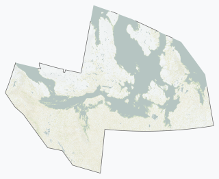
| Map | |||||||||||
| Runways | |||||||||||
| |||||||||||
Source: Canada Flight Supplement [1] | |||||||||||
Doris Lake Aerodrome (formerly IATA : JOJ, TC LID : CDL7) was a privately owned ice runway located on Doris Lake, Nunavut, Canada. The aerodrome, which was open from January to April, serviced the related explorations for the gold deposits that were found in the Hope Bay greenstone belt.


