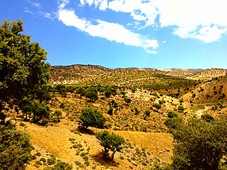
Aflou is a town and commune in Laghouat Province, Algeria. It is located in the Amour Range of the Saharan Atlas, at an elevation of 1,426 m (4,678 ft), which makes it one of the highest towns in Algeria. Aflou is the capital of Aflou District. Its population in 1998 was 48,000.
Aïn Mahdi is a district in Laghouat Province, Algeria. It was named after its capital, the natural gas extraction town of Hassi R'Mel.

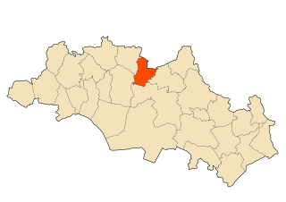
Aïn Djasser is a town in north-eastern Algeria.

Aïn Touta is a town in eastern Algeria. It is located 35 km southwest of Batna and 82 km north of Biskra. It has an area of about five square kilometers.

Ben Foudhala El Hakania is a town in north-eastern Algeria.

Maafa, Algeria is a town in north-eastern Algeria.
Teniet El Abed is a town in the Aurès Mountains of north-eastern Algeria. As of 2008 it had a population of 11,338 people. It is located along National Route 49, 59 kilometres (37 mi) south of Batna, 76 kilometres (47 mi) northeast of Biskra, and 122 kilometres (76 mi) west of Khenchela.

Ouled Aouf is a town in north-eastern Algeria.

Aïn Djasser District is a district of Batna Province, Algeria.

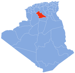
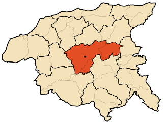
Aïn Touta District is a district of Batna Province, Algeria.

Ouled Ben Abdelkader District is a district of Chlef Province, Algeria.
Ouled Farès District is a district of Chlef Province, Algeria.

Oued Fodda District is a district of Chlef Province, Algeria.

Hassi Khelifa District is a district of El Oued Province, Algeria. As of the 2008 census, it has a population of 40,041.

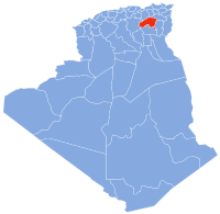
Laghouat District is a district of Laghouat Province, Algeria. Laghouat (Laghwat) is an Algerian town, About 400 km from Algiers.

Aïn Babouche is a town and commune in Oum El Bouaghi Province, Algeria. According to the 1998 census it has a population of 14,597.
Aïn Diss is a town and commune in Oum El Bouaghi Province, Algeria. According to the 1998 census it has a population of 2741.

Aïn M'lila is a town and commune in Oum El Bouaghi Province, Algeria. According to the 2008 census it has a population of 65,371. It is the home-town of Larbi Ben M'hidi, one of the most prominent Algerian leaders during the war of independence. It is the home of football club AS Ain M'lila that currently play in the Algerian Ligue Professionnelle 1.

Hassi Abdallah is a village in the commune of Ksabi, in Ouled Khoudir District, Béchar Province, Algeria. The village is located on the northeast bank of the Oued Saoura 10 kilometres (6.2 mi) southeast of Ksabi. It is connected both Ksabi and the N6 national highway by local roads.
Bent Cherk is a village in the commune of Ksabi, in Ouled Khoudir District, Béchar Province, Algeria. The village is located near the border with Adrar Province and is connected to the N6 to the southwest by a local road.