Tighanimine | |
|---|---|
 | |
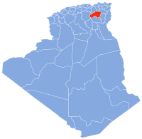
| Country | Algeria |
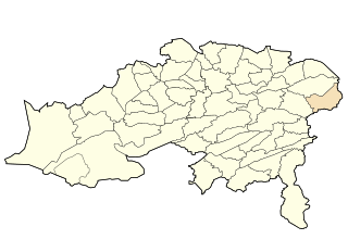
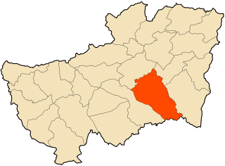
| Province | Batna |
| Time zone | UTC+1 (West Africa Time) |
Tighanimine is a town in Batna Province, north-eastern Algeria. It is located on Abiod Valley. There are some small Ancient Roman ruins nearby. [1]
Tighanimine | |
|---|---|
| | |
| Country | Algeria |
| Province | Batna |
| Time zone | UTC+1 (West Africa Time) |
Tighanimine is a town in Batna Province, north-eastern Algeria. It is located on Abiod Valley. There are some small Ancient Roman ruins nearby. [1]

Tunisia is a country in Northern Africa, bordering the Mediterranean Sea, having a western border with Algeria (965 km) and south-eastern border with Libya (459 km) where the width of land tapers to the south-west into the Sahara. The country has north, east and complex east-to-north coasts including the curved Gulf of Gabès, which forms the western part of Africa's Gulf of Sidra. Most of this greater gulf forms the main coast of Libya including the city of Sirte which shares its root name. The country's geographic coordinates are 34°00′N9°00′E. Tunisia occupies an area of 163,610 square kilometres, of which 8,250 are water. The principal and reliable rivers rise in the north of the country with a few notable exceptions from north-east Algeria and flow through the northern plain where sufficient rainfall supports diverse plant cover and irrigated agriculture.

Aurès is an Amazigh language-speaking natural region located in the mountainous area of the Aurès range in eastern Algeria. The region includes the Algerian provinces of Batna, Tebessa, Khenchela, Oum El Bouaghi, Souk Ahras and Biskra.

Djerma, Algeria is a town in north-eastern Algeria.

Chemora is a town in north-eastern Algeria.

Kimmel, Algeria is a town in north-eastern Algeria.

Larbaa is a town in north-eastern Algeria.

Lazrou is a town in north-eastern Algeria.

Menaa is a town in north-eastern Algeria.

Nouader is a town in north-eastern Algeria.
Location
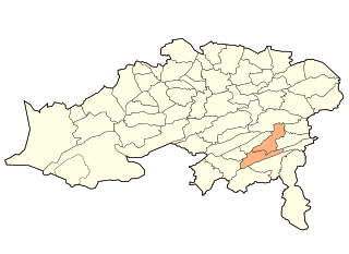
Arris District is a district of Batna Province, Algeria.
Guerdjoum is a town and commune in Mascara Province, Algeria. According to the 1998 census it has a population of 2,341.

The borders of the oceans are the limits of Earth's oceanic waters. The definition and number of oceans can vary depending on the adopted criteria.

Mesra is a town and commune in Mostaganem Province, Algeria. It is the capital of Mesra District. According to the 1998 census it has a population of 20,053.
Ouled Attia is a town and commune in Skikda Province in north-eastern Algeria.
Taoura, known in antiquity as Thagora, is a town and commune in Souk Ahras Province in north-eastern Algeria.
Guertoufa is a town and commune in Tiaret Province in northwestern Algeria.
Medroussa is a town and commune in Tiaret Province in northwestern Algeria.
Oued Z'hor is a town and commune in Skikda Province in north-eastern Algeria.
Coordinates: 35°10′N6°15′E / 35.167°N 6.250°E
| This article about a location in Batna Province is a stub. You can help Wikipedia by expanding it. |