Fort Simpson Island Water Aerodrome | |||||||||||
|---|---|---|---|---|---|---|---|---|---|---|---|
| Summary | |||||||||||
| Airport type | Private | ||||||||||
| Operator | Wolverine Air/Simpson Air | ||||||||||
| Location | Fort Simpson, Northwest Territories | ||||||||||
| Time zone | MST (UTC−07:00) | ||||||||||
| • Summer (DST) | MDT (UTC−06:00) | ||||||||||
| Elevation AMSL | 375 ft / 114 m | ||||||||||
| Coordinates | 61°52′N121°22′W / 61.867°N 121.367°W Coordinates: 61°52′N121°22′W / 61.867°N 121.367°W | ||||||||||
| Map | |||||||||||
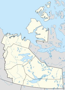 CEZ7 Location in the Northwest Territories  CEZ7 CEZ7 (Canada) | |||||||||||
| Runways | |||||||||||
| |||||||||||
Source: Water Aerodrome Supplement [1] | |||||||||||
Fort Simpson Island Water Aerodrome( TC LID : CEZ7) is adjacent to Fort Simpson, Northwest Territories, Canada on the Mackenzie River. It is open from mid-June until October.
