| Garrawilla National Park | |
|---|---|
 Garrawilla National Park | |
 Garrawilla National Park | |
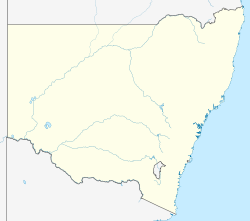
| Location | New South Wales |
| Nearest city | Coonabarabran |
| Coordinates | 31°6′46″S149°38′20″E / 31.11278°S 149.63889°E |
| Area | 9.37 km2 (3.62 sq mi) |
| Governing body | NSW National Parks & Wildlife Service |
Garrawilla National Park was created in December 2005. It covers an area of 937 hectares. This park is located on the northern side of the Oxley Highway approximately halfway between Coonabarabran and Mullaley in New South Wales, Australia. [1]