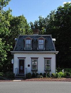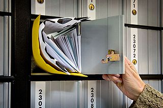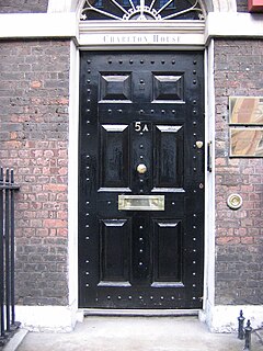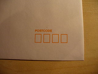
A post office is a public facility and a retailer that provides mail services, such as accepting letters and parcels, providing post office boxes, and selling postage stamps, packaging, and stationery. Post offices may offer additional services, which vary by country. These include providing and accepting government forms, and processing government services and fees. The chief administrator of a post office is called a postmaster.

The United States Postal Service (USPS), also known as the Post Office, U.S. Mail, or Postal Service, is an independent agency of the executive branch of the United States federal government responsible for providing postal service in the United States, including its insular areas and associated states. It is one of the few government agencies explicitly authorized by the United States Constitution. The USPS, as of 2021, has 516,636 career employees and 136,531 non-career employees.

A ZIP Code is a postal code used by the United States Postal Service (USPS). Introduced on July 1, 1963, the basic format consisted of five digits. In 1983, an extended ZIP+4 code was introduced; it included the five digits of the ZIP Code, followed by a hyphen and four digits that designated a more specific location.

Hopatcong is a borough in Sussex County, New Jersey, United States. As of the 2010 United States Census, the borough's population was 15,147, reflecting a decline of 741 (−4.7%) from the 15,888 counted in the 2000 Census, which had in turn increased by 302 (+1.9%) from the 15,586 counted in the 1990 Census.

Jefferson Township is the northernmost township in Morris County, New Jersey, United States. As of the 2010 United States Census, the township's population was 21,314, having increased by 1,597 (+8.1%) from the 19,717 counted in the 2000 Census, which had in turn increased by 1,892 (+10.6%) from the 17,825 counted in the 1990 Census.

Lake Hopatcong is the largest freshwater body in New Jersey, United States, about 4 square miles (10 km2) in area. Located 30 miles (48 km) from the Delaware River and 40 miles (64 km) from Manhattan, New York City, the lake forms part of the border between Sussex and Morris counties in the state's northern highlands region. Lake Hopatcong was produced by damming and flooding of two ponds, known as the Great Pond and Little Pond, and the Musconetcong River, its natural outlet. Historically known as a resort lake for vacationing New Yorkers, it is now a mostly suburban residential lake.

Port Elizabeth is an unincorporated community located within Maurice River Township in Cumberland County, New Jersey, United States. The area is served as United States Postal Service ZIP code 08348.

A post office box is a uniquely addressable lockable box located on the premises of a post office.

A letter box, letterbox, letter plate, letter hole, mail slot or mailbox is a receptacle for receiving incoming mail at a private residence or business. For outgoing mail, Post boxes are often used for depositing the mail for collection, although some letter boxes are also capable of holding outgoing mail for a carrier to pick up. Letterboxes or mailboxes use the following primary designs:

Elm Hall is an unincorporated community and census-designated place (CDP) in Gratiot County in the U.S. state of Michigan. The CDP had a population of 165 at the 2020 census. The community is located within Sumner Township.
Kirkwood is an unincorporated community located within Voorhees Township in Camden County, New Jersey, United States. Kirkwood once had a post office assigned United States Postal Service ZIP Code 08043. The ZIP Code has been reassigned to a post office named Voorhees that serves the entire township. Kirkwood is still a valid city name for mailing purposes.

Lake Hopatcong is a commuter railroad station for New Jersey Transit. The station, located in the community of Landing in Roxbury Township, Morris County, New Jersey, United States, serves trains for the Montclair-Boonton Line and Morristown Line at peak hours and on holiday weekends. Service from Lake Hopatcong provides to/from Hackettstown to New York Penn Station and Hoboken Terminal. The stop is located on the tracks below Landing Road next to the eponymous Lake Hopatcong. The station consists of one active and one abandoned side platform, along with a shelter on the active platform. There is no accessibility for handicapped persons under the Americans with Disabilities Act of 1990.
Landing is a small settlement and unincorporated community located within Roxbury Township, in Morris County, New Jersey, United States. The community is located on the south shore of Lake Hopatcong near Hopatcong State Park. The area is served as United States Postal Service ZIP Code 07850.
The JE postcode area, also known as the Jersey postcode area, is a group of postal districts covering Jersey.

Postcodes in Australia are used to more efficiently sort and route mail within the Australian postal system. Postcodes in Australia have four digits and are placed at the end of the Australian address, before the country. Postcodes were introduced in Australia in 1967 by the Postmaster-General's Department and are now managed by Australia Post, Australia's national postal service. Postcodes are published in booklets available from post offices or online from the Australia Post website.
Lake Shawnee is a small 83-acre (34 ha) private lake located in Jefferson Township, New Jersey, United States. Its outsource is the Beaver Brook, which flows into Lake Hopatcong, New Jersey's largest lake. Lake Shawnee and its watershed are the headwaters of the Musconetcong River watershed.

A mail bag or mailbag is a generic term for a type of bag used for collecting, carrying, categorizing, and classifying different types of postal material, depending on its priority, destination, and method of transport. It is oftentimes used by a post office system in transporting these different grades of mail. The mailbag is carried by some means of transporting like a mail carrier, animal, or a mobile post office. Letters and printed material delivered by mail in the seventeen-hundreds were carried by horse in a saddle bag. There are several different types of mailbags for different purposes. These different styles of mailbags depend on its size and purpose. It can range from "a large bag used for transporting mail on a truck, plane, etc." to a simple "postbag" used by a mail carrier to deliver mail.
Lupton City is a neighborhood of Chattanooga, Tennessee, United States. The community developed in the 1920s as a mill town, a planned community that contained the Dixie Spinning Mills thread mill and housing for its workers.
Greendell is an unincorporated community located within Green Township, in Sussex County, New Jersey, United States. Greendell is 4.2 miles (6.8 km) west of Andover. Greendell has a post office with ZIP code 07839.
Wendel is an unincorporated community and former coal town in Westmoreland County, Pennsylvania, United States. It is 2.2 miles (3.5 km) south of Irwin.


