Chatham County is a county located in the Piedmont area of the U.S. state of North Carolina. As of the 2020 census, the population was 76,285. Its county seat is Pittsboro.
Fearrington Village is a residential development and census-designated place (CDP) in Chatham County, North Carolina, United States. The population was 2,339 at the 2010 census, up from 903 in 2000. Its name is phonetically pronounced FAIR-ington, not FEAR-ington as the spelling might indicate. The CDP occupies what was formerly the area of the unincorporated community of Farrington. It is a mixed-use community located on farmland dating back to the 18th century in Pittsboro, North Carolina. The community is located about 15 minutes from Chapel Hill, a half-hour from Durham and 45 minutes from Raleigh.

Goldston is a town in Chatham County, North Carolina, United States, south of Pittsboro. The population was 268 at the 2010 census.
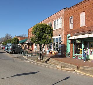
Pittsboro is a town in Chatham County, North Carolina, United States. The population was 3,743 at the 2010 census and 4,537 at the 2020 census. It is the county seat of Chatham County.
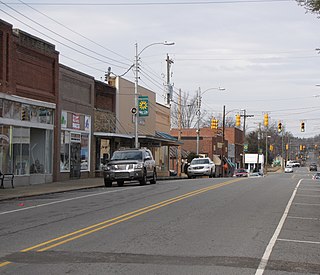
Siler City is a town in western Chatham County, North Carolina, United States. As of the 2020 census, the town's population was 7,702.

Buies Creek is a census-designated place (CDP) located in the Neills Creek Township of Harnett County, North Carolina, United States. It is the home of Campbell University. The population was 3,253 at the 2020 census, up from 2,942 in 2010. Buies Creek is a part of the Dunn Micropolitan Area, which is also a part of the greater Raleigh–Durham–Cary Combined Statistical Area (CSA) as defined by the United States Census Bureau.

Etowah is an unincorporated community and census-designated place (CDP) in Henderson County, North Carolina, United States. The population was 6,944 at the 2010 census. It is part of the Asheville Metropolitan Statistical Area.

Lowesville is a census-designated place (CDP) in Lincoln County, North Carolina, United States. The population was 2,945 at the 2010 census, up from 1,440 in 2000.
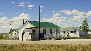
Powder River is a census-designated place (CDP) in Natrona County, Wyoming, United States. It is part of the Casper, Wyoming Metropolitan Statistical Area. The population was 30 in the 2020 census and 44 in the 2010 census.
Iron Station is an unincorporated community and census-designated place (CDP) in Lincoln County, North Carolina, United States. A primarily industrial town, Iron Station's population was 755 as of the 2010 census. It also serves as a bedroom community for the larger cities of Charlotte, Hickory, and Lincolnton.
Tyro is an unincorporated community and census-designated place (CDP) located 7 miles (11 km) west of Lexington and 24 miles (39 km) south of Winston-Salem in Davidson County, North Carolina, United States. As of the 2010 census, the community had a population of 3,879.
Advance is an unincorporated community and census-designated place (CDP) in Davie County, North Carolina, United States. It is seventy-five miles northeast of Charlotte. As of the 2010 census it had a population of 1,138. It is located along North Carolina Highway 801 just south of Bermuda Run. Advance is part of the Piedmont Triad region of North Carolina.
Hemlock is a hamlet and census-designated place (CDP) in the town of Livonia, Livingston County, New York, United States. The population was 557 as of the 2010 census.
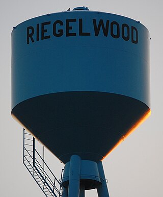
Riegelwood is an unincorporated community and census-designated place (CDP) which sprawls across three counties: Brunswick County, North Carolina; Pender County, North Carolina; Columbus County, North Carolina, United States. As of the 2010 census it had a population of 579. It is the location of a saw mill and a paper mill.
Fairfield is a census-designated place (CDP) and unincorporated community in Hyde County, North Carolina, United States. As of the 2010 census it had a population of 258. The Fairfield Historic District was listed on the National Register of Historic Places in 1985.

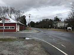
Moncure, founded in 1881, is a small rural unincorporated community in southeastern Chatham County, North Carolina, United States. Moncure and the neighboring community of Haywood form the Moncure census-designated place (CDP), which had a population of 711 at the 2010 census. The community is located near the confluence of the Deep and Haw rivers, which form the Cape Fear River. Moncure once served as the westernmost inland port in the state, linked to the Atlantic Ocean by steamships.
Bunnlevel is an unincorporated community and census-designated place (CDP) along U.S. Highway 401 in Stewarts Creek Township, Harnett County, North Carolina, United States. The population was 552 at the 2010 census. It is a part of the Dunn Micropolitan Area, which is also a part of the greater Raleigh–Durham–Cary Combined Statistical Area (CSA) as defined by the United States Census Bureau.
Piffard is a census-designated place (CDP) and hamlet in the town of York, Livingston County, New York, United States. As of the 2010 census, its population was 220. The ZIP Code is 14533.
Dana is an unincorporated community and census-designated place (CDP) in Henderson County, North Carolina, United States. Its population was 3,329 as of the 2010 census.
Briar Chapel is a planned community and census-designated place (CDP) in Chatham County, North Carolina, United States. It was first listed as a CDP in the 2020 census with a population of 5,108.