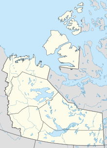
Hay River/Brabant Lodge Water Aerodrome | |||||||||||
|---|---|---|---|---|---|---|---|---|---|---|---|
| Summary | |||||||||||
| Airport type | |||||||||||
| Operator | |||||||||||
| Location | Hay River, Northwest Territories | ||||||||||
| Time zone | MST (UTC−07:00) | ||||||||||
| • Summer (DST) | MDT (UTC−06:00) | ||||||||||
| Elevation AMSL | 514 ft / 157 m | ||||||||||
| Coordinates | 61°03′N116°36′W / 61.050°N 116.600°W Coordinates: 61°03′N116°36′W / 61.050°N 116.600°W | ||||||||||
| Map | |||||||||||
| Runways | |||||||||||
| |||||||||||
Source: Water Aerodrome Supplement [1] | |||||||||||
Hay River/Brabant Lodge Water Aerodrome( TC LID : CEA8) was located on the Mackenzie River, near Hay River, Northwest Territories, Canada. The airport was listed as abandoned in the 15 March 2007 Canada Flight Supplement.


