 | ||||
|---|---|---|---|---|
| Автошлях М18 | ||||
 | ||||
| Route information | ||||
| Part of | ||||
| Length | 682.6 km (424.1 mi) 731.6 km (454.6 mi) with access roads | |||
| Major junctions | ||||
| North end | ||||
| South end | ||||
| Location | ||||
| Country | Ukraine | |||
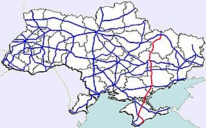
| Oblasts | Kharkiv, Dnipropetrovsk, Zaporizhia, Kherson, Crimea | |||
| Highway system | ||||
| ||||

Highway M18 is a Ukrainian international highway (M-highway) connecting Kharkiv to the southern coast of Crimea in Yalta. [1] The highway is also has an alternative route (M29) which runs parallel and designed as an expressway between Kharkiv and Novomoskovsk. The section from Novomoskovsk to Yalta is part of European route E105. [2] The section from Kharkiv to Krasnohrad was previously P51.
Contents
The section between Yalta and the border of Crimea belongs to Crimea which has been annexed by Russia in 2014. Russia refers to the section in Crimea as 35A-002. During the 2022 Russian invasion of Ukraine, Russia took direct control of the whole section of the road in Kherson Oblast and a part of the Zaporizhzhia Oblast section.