
Therfield Heath is a biological Site of Special Scientific Interest and Local Nature Reserve on the chalk escarpment just north of Therfield, Hertfordshire. Since it lies south-west of the town of Royston, it is also known locally as Royston Heath. The heath is a common on which sheep are still regularly grazed. The site offers views towards the north, over the valley of the Cam as far as Cambridge.

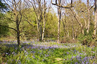
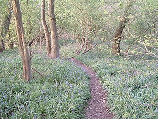
Waresley and Gransden Woods is a 50-hectare (120-acre) nature reserve between Waresley and Great Gransden in Cambridgeshire, England. It is managed by the Wildlife Trust for Bedfordshire, Cambridgeshire and Northamptonshire. The site is a 54.2-hectare (134-acre) biological Site of Special Scientific Interest called Waresley Wood, with slightly different boundaries.
Launde Big Wood is a 41.1 hectares biological Site of Special Scientific Interest east of Leicester. It is part of Launde Woods nature reserve, which is owned by the Leicester Diocesan Board of Finance and managed by the Leicestershire and Rutland Wildlife Trust.
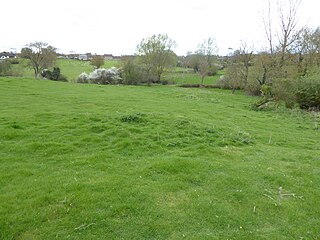
Loughborough Meadows is a 60.5 hectares biological Site of Special Scientific Interest on the northern outskirts of Loughborough in Leicestershire, England. An area of 35.3 hectares is managed as a nature reserve by the Leicestershire and Rutland Wildlife Trust.

Roydon Common is a 194.9-hectare (482-acre) biological Site of Special Scientific Interest east of King's Lynn in Norfolk. It is also a Grade I Nature Conservation Review site, a National Nature Reserve and a Ramsar site. It is part of the Roydon Common and Dersingham Bog Special Area of Conservation and Roydon Common and Grimston Warren nature reserve, which is managed by the Norfolk Wildlife Trust,
Perry Woods is a 67.9-hectare (168-acre) biological Site of Special Scientific Interest south-east of Kimbolton in Cambridgeshire. It is composed of three woods, the larger Perry West Wood and the smaller Perry Wood and Ash Wood.

Little Catworth Meadow is a 5.2-hectare (13-acre) biological Site of Special Scientific Interest between Catworth and Spaldwick in Cambridgeshire.

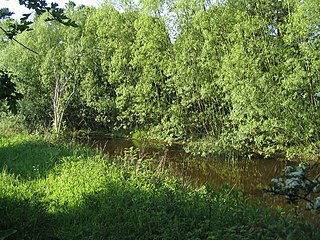
Aldwincle Marsh is a 2-hectare (4.9-acre) biological Site of Special Scientific Interest north of Thrapston in Northamptonshire.
Birch Spinney and Mawsley Marsh is a 12.3-hectare (30-acre) biological Site of Special Scientific Interest north-west of Broughton in Northamptonshire.

Bulwick Meadows is a 4.2-hectare (10-acre) biological Site of Special Scientific Interest in Bulwick, north-east of Corby in Northamptonshire.
King's Cliffe Banks is a 7.7-hectare (19-acre) biological Site of Special Scientific Interest in King's Cliffe in Northamptonshire.

Wakerley Spinney is a 4.4-hectare (11-acre) biological Site of Special Scientific Interest west of King's Cliffe in Northamptonshire.
Debdale Meadow, Muston is a 4.3-hectare (11-acre) biological Site of Special Scientific Interest north of Muston in Leicestershire.
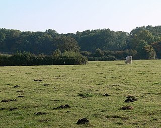
Holwell Mouth is a 14.5-hectare (36-acre) biological Site of Special Scientific Interest south-east of Nether Broughton in Leicestershire. It is common land.

Leighfield Forest SSSI is an 11.3 hectares biological Site of Special Scientific Interest east of Skeffington in Leicestershire, England. It consists of several fragments, including Tugby Wood, Loddington Reddish, Brown's Wood, Skeffington Wood and Tilton Wood, of the former medieval hunting Leighfield Forest, which straddles Leicestershire and Rutland. It is a Nature Conservation Review site, Grade II.
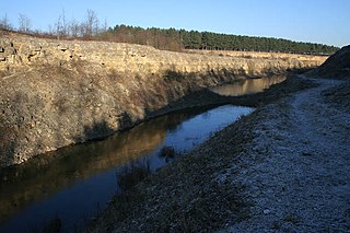
Sproxton Quarry is a 5.4 hectares geological Site of Special Scientific Interest north-east of Sproxton in Leicestershire. It is a Geological Conservation Review site.
Wymondham Rough is a 6.0 hectares biological Site of Special Scientific Interest (SSSI) east of Stapleford in Leicestershire. The SSSI is part of the 12.5 hectare Wymondham Rough nature reserve, which is managed by the Leicestershire and Rutland Wildlife Trust.

Charleshill SSSI is a 10.1-hectare (25-acre) biological Site of Special Scientific Interest west of Elstead in Surrey. It is part of Thundry Meadows nature reserve, which is owned and managed by the Surrey Wildlife Trust

Warblington Meadow is a 3.9-hectare (9.6-acre) biological Site of Special Scientific Interest west of Emsworth in Hampshire.
