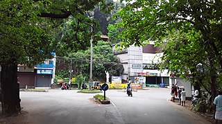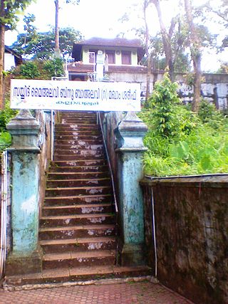
Thrikaripur a small town located in south part of Kasaragod District in the state of Kerala, India. Its southernmost end Olavara touches Payyannur, Kannur District.

Valapattanam is a census town and a suburb of Kannur city in the Kannur district, located in the Indian state of Kerala. It is also the smallest panchayat in Kerala. Its area is 2.04 km2 (0.79 sq mi). It is about 7 km (4.3 mi) north of Kannur. Valapattanam is known for its communal harmony. On one side is Kalarivathukkal Temple and on the other bank there is "Kakkulangara Mosque".

Irikkur is a town and grama panchayat in Kannur District of Kerala state, India.

Kalliasseri is a census town in Kannur district in the Indian state of Kerala. Kalliaseri Panchayat comprises two villages: Kalliasseri and Irinave.

Pappinisseri is a census town and a suburb of Kannur city in Kannur district in the Indian state of Kerala. Pappinissery have consistently won the Swaraj Trophy for best Grama Panchayat from 2017-2018 to 2021. Pappinisseri Panchayat also bagged the third position in the Swaraj Trophy during 2015-2016. Also, Pappinissery has been declared as the best Grama Panchayat in Kerala by Kerala government. Pappinisseri Panchayat comprises two villages, viz Pappinisseri and Aroli. Pappinisseri better known for visha chikitsa kendram
Ružić is a village and a municipality in Šibenik-Knin County, Croatia. In the 2011 census, it had a total of 1,591 inhabitants. In the 2011 census, 98.99% of the population were Croats.
Vellamunda is a grama panchayat in the Wayanad district of the state of Kerala, India, situated approximately 15 km away from Mananthavady, the nearest town. Vellamunda Panchayath Office is situated at Ettenalu .Vellamunda can accessed by Padinjarathara or Mananthavady
Kizhakkummuri is a village in Thrissur district in the state of Kerala, India.
Thonnurkara is a village in Thrissur district in the state of Kerala, India.
Adinasara is a village in the southern state of Karnataka, India. It is located in the Tirthahalli taluk of Shimoga district in Karnataka.
Maruthur is a village in the Palayamkottai Block, Palayam kottai taluk Tirunelveli district of Tamil Nadu, in India.
Mahimalai is a village in the Papanasam taluk of Thanjavur district, Tamil Nadu, India. A Traditional village settled on the banks of the Vennaru.
Koollu is a village in the Hosur taluk of Krishnagiri district, Tamil Nadu, India.

Kariyad is a small village in Talassery taluk of Kannur district in the Indian state of Kerala. It is part of the Greater Mahe Region. It is 57.31 km.2 The total population according to the 1991 census is 123,628.

Aroli is a village of Pappinisseri Panchayat in Kannur district in the Indian state of Kerala.
Anchatgeri is a village in Dharwad district of Karnataka, India.

Morazha is a village of Anthoor Municipality in Kannur district in the Indian state of Kerala. Before formation of Anthoor Municipality this village was part of Thaliparamba Municipality. Though part of a Municipal Town, Morazha remains like a village.
Padesur is a village in Dharwad district of Karnataka, India.

Kannadi is a gram panchayat in the Palakkad district, state of Kerala, India. Third lulu mall in Kerala, Lulu International Shopping Mall, Palakkad is located in Kannadi. It is a local government organisation that serves the villages of Kannadi-I and Kannadi-II.
Jamanka is a large village located in the Gabhana area of Aligarh district in the Indian state of Uttar Pradesh.


