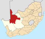
George Municipality is a municipality located in the Western Cape Province of South Africa. As of 2011 the population is 193,672. Its municipality code is WC044.

Witzenberg Municipality is a local municipality located within the Cape Winelands District Municipality, in the Western Cape province of South Africa. As of 2011 it had a population of 115,946.
Bitou Local Municipality is a municipality part of Garden Route District Municipality located in the Western Cape Province of South Africa. Its municipality code is WC047.
Beaufort West Municipality is a municipality located in the Western Cape Province of South Africa. As of 2011 the population is 49,586. Its municipality code is WC053.

Oudtshoorn Municipality is a municipality located in the Western Cape Province of South Africa. As of 2011 the population was 95,933.

Overstrand Municipality is a local municipality in the Western Cape province of South Africa. It is located along the Atlantic coast between Cape Town and Cape Agulhas, within the Overberg District Municipality. The principal towns in the municipality are Hermanus, Gansbaai and Kleinmond. As of 2011 it had a population of 80,432.

Prince Albert Municipality is a municipality located in the Western Cape Province of South Africa.

Drakenstein Municipality is a local municipality located within the Cape Winelands District Municipality, in the Western Cape province of South Africa. As of 2011 it had a population of 251,262. Its municipality code is WC023.

Breede Valley Municipality is a local municipality located within the Cape Winelands District Municipality, in the Western Cape province of South Africa. As of 2007, it had a population of 166,825. Its municipality code is WC025.

Matzikama Local Municipality is a local municipality which governs the northernmost part of the Western Cape province of South Africa, including the towns of Vredendal, Vanrhynsdorp, Klawer and Lutzville, and the surrounding villages and rural areas. As of 2011 it had a population of 67,147. It forms part of the West Coast District Municipality, and has municipality code WC011.
Saldanha Bay Municipality is a local municipality located within the West Coast District Municipality, in the Western Cape province of South Africa. As of 2011 it had a population of 99,193. Its municipality code is WC014.
Swartland Municipality is a municipality located in the Western Cape Province of South Africa. Malmesbury is the seat of the municipality. As of 2016, it had a population of 133,762. Its municipality code is WC015.
Theewaterskloof Municipality is a local municipality located within the Overberg District Municipality, in the Western Cape province of South Africa. As of 2007, the population was 108,790. Its municipality code is WC031. The enormous Theewaterskloof Dam, which provides water for Cape Town and the surrounding areas, is located in this municipality.
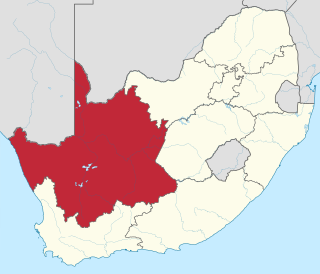
Nama Khoi Municipality is a local municipality in the Northern Cape Province of South Africa. It is administered from the town of Springbok.

Mier was a local municipality within the ZF Mgcawu District Municipality in the Northern Cape province of South Africa. Its area includes the South African portion of one of the world's largest conservation areas, the Kgalagadi Transfrontier Park. The main settlement in the municipality is the town of Rietfontein.

Karoo Hoogland is an administrative area in the Namakwa District of Northern Cape in South Africa.

//Khara Hais Local Municipality is a local municipality in the Northern Cape province of South Africa. It falls within the ZF Mgcawu District Municipality and governs the town of Upington and surrounding rural areas. As of 2011 it the municipality has a population of approximately 93,500 people, and covers an area of 21,780 square kilometres (8,410 sq mi). The unusual spelling of the name comes from the original transcription of the Khwe language name, where the click consonant became "//".
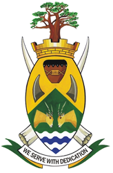
The Thulamela Local Municipality is a Local municipality in the Limpopo province of South Africa. Its municipal bounderies were greatly altered after the South African municipal elections, 2016 when much of the area that formerly belonged to the municipality, including the town of Malamulele, was incorporated into the newly formed Collins Chabane Local Municipality. It is named after the Thulamela ruins located near the Pafuri Gate of the Kruger National Park.

Matjhabeng Local Municipality is an administrative area in the Lejweleputswa District of the Free State in South Africa, that includes the city of Welkom. The name is a Sesotho word meaning "where nations meet". It is derived from the migrant labour system where people from various countries like Lesotho, Mozambique, etc. meet to work in the mines of the Goldfields.


