Kuzhalmannam-I | |
|---|---|
village | |
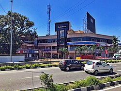 Kuzhalmannam Junction | |
 Kuzhalmannam-I Location in Kerala, India  Kuzhalmannam-I Kuzhalmannam-I (India) | |
| Coordinates: 10°43′09″N76°36′04″E / 10.7192°N 76.6012°E | |
| Country | |
| State | Kerala |
| District | Palakkad |
| Population (2011) | |
• Total | 17,848 |
| Languages | |
| • Official | Malayalam, English |
| Time zone | UTC+5:30 (IST) |
| PIN | 678702 |
| Vehicle registration | KL- |
Kuzhalmannam-I is a village in the Palakkad district, state of Kerala, India. It forms a part of the Kuzhalmannam gram panchayat, along with Kuzhalmannam-II. [1]