Ottapalam | |
|---|---|
Town | |
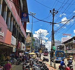 Ottapalam bus stand | |
 Ottapalam Location in Kerala, India | |
| Coordinates: 10°46′N76°23′E / 10.77°N 76.38°E | |
| Country | India |
| State | Kerala |
| District | Palakkad |
| Assembly constituency | Ottapalam |
| Government | |
| • Body | Municipality |
| • MLA | Adv. K. Premkumar |
| • Chairperson | K Janaki Devi |
| Area | |
• Total | 32.7 km2 (12.6 sq mi) |
| Elevation | 54 m (177 ft) |
| Population (2011) [1] | |
• Total | 53,790 |
| • Rank | 2nd in Palakkad district |
| • Density | 1,640/km2 (4,260/sq mi) |
| Languages | |
| • Official | Malayalam |
| Time zone | UTC+5:30 (IST) |
| PIN code | 679 101-679 104 |
| Telephone code | 0466 |
| Vehicle registration | KL-51 |
| Sex ratio | 1000:1121 ♂/♀ |
| Literacy Rate | 91% |
| Website | www |
Ottapalam (also spelled Ottappalam) is a town, taluk, and municipality in the Palakkad District of Kerala, India. [2] It is the administrative headquarters of Ottapalam taluk [3] and is located approximately 34 km (21 mi) from the Palakkad (district HQ), along the banks of the Bharathapuzha River, the second-longest river in the state.
Contents
- Etymology
- History
- Geography
- Climate
- Administration
- Ottapalam Taluk
- Transport
- Road
- Rail
- Notable people
- See also
- References
- External links
It is one of the major commercial centres in the district. It is also one of the major filming locations in Kerala. [4] [5]


