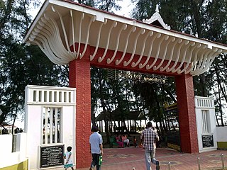
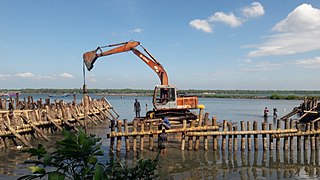
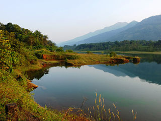
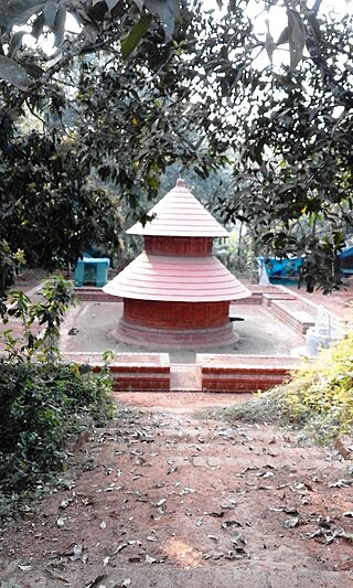
Kizhakkancherry is a gram panchayat in the Palakkad district, state of Kerala, India. It is a local government organisation that serves the villages of Kizhakkencheri-I and Kizhakkencheri-II. It was formed in the year of 1951 and is the fourth largest grama panchayath in Kerala. It covers an area of 112.56 km2 and comprises 22 wards. The boundaries are Vadakkencherry (north), Pananjeri (south), Vandazhy (east) and Kannambra (west). The village is located 37.4 km from the city of Palakkad and 34.9 km from Thrissur.

Azhikode is a coastal town and a suburb of Kannur city situated in Kannur district of Kerala, India. Azhikode town is divided into Azhikode North and Azhikode South. The northern end of the Azhikode North is called Azhikkal. The place is the birthplace of Sukumar Azhikode, an influential thinker and literary critic. It is about 7 km (4.3 mi) from Kannur city.

Ulikkal is a growing town in Kannur District in Kerala. It is the HQ of Ulikkal Grama Panchayat in Iritty Taluk. Kerala State Hill highway SH 59 passes through Ulikkal Town.

Kalliasseri is a census town in Kannur district in the Indian state of Kerala. Kalliaseri Panchayat comprises two villages: Kalliasseri and Irinave.

Mayyil is a Census Town and Grama Panchayat in Kannur District of Kerala State. Mayyil Panchayat established in 1962 by merging the villages of Kayaralam, Mayyil and Kandakkai.
Mallappuzhassery is a village situated in Kozhencherry taluk of Pathanamthitta district in Kerala, India. Its border starts in the middle of the temple grounds running north–south: the eastern part is Mallappuzhassery and the western part is Edasserimala. Edasserimala is part of Aranmula Panchayath and Mallappuzhassery is of Mallappuzhassery Panchayath. The northern border of this village is the Pamba River.

Pattuvam is a village in Kannur district in the Indian state of Kerala. It is bordered by the Kuppam river on the north, west and south. It shares a border with Taliparamba municipality on the east. A bridge over the river connects Pattuvam to Kottakkeel of Ezhome village in the northwest.

Thenhipalam is a census town and a panchayat in Tirurangadi taluk in Malappuram district of Kerala, India, with a population of 27,273 as per 2001 census, consisting of 13,293 males and 13,980 females. Tenhipalam forms a portion of the Malappuram metropolitan area as of 2011 Census. University of Calicut, the first university in the Malabar region, is located north-west part of the Panchayat. 'Chelari' is the main commercial place in Tenhipalam panchayat while 'Panambra' is considered the headquarters of the panchayat. The small town between Chelari and the university is called Kohinoor.
Ennakkad is a ward in Budhanoor Grama Panchayat, Alappuzha district in the Indian state of Kerala.

Nooranad is a developing town in Mavelikkara taluk of Alappuzha district in the Indian state of Kerala. It is located at a distance of 8 Km south-west of Pandalam, in Kayamkulam route. Padanilam is the cultural centre of Nooranad region. The Padanilam Parabrahma Temple, known for the biggest Shivarathri Kettukazhcha in Kerala, is situated in Nooranad. Nooranad is declared by the Government of Kerala as the Nandikesha Paithruka Gramam due to its importance in Kettukala making, which is an icon of Onattukara region of Central Travancore. Nooranad is also known as Pakshi Gramam of kerala.

Mynagappally is a village in Kollam district in the Indian state of Kerala.
Poothakkulam, also known as Bhoothakkulam, is a village in Kollam district in the state of Kerala, India. The village is located 3.9 km away from Paravur, 11.4 km from Varkala and 23 km from Kollam. In 2011, it had a population of 628,451 residents. The village covers an area of 16.56 km2.

Maniyur Grama Panchayat is located in Vadakara Taluk, in the Kozhikode district in the state of Kerala, India. It covers an area of 31.03 km2.

Kodur is a census town and a suburb of Malappuram, India.

Parappur is a village and townland two kilometers north of Kottakkal in Malappuram district in the state of Kerala, India.

Purathur is a sandy coastal village and a Grama Panchayat in Tirur Taluk, Malappuram district in the state of Kerala, India. Bharathappuzha river and Tirur River merges together in Purathur and join with the Arabian Sea at Padinjarekara Azhimukham, which is also the southernmost tip of Purathur Gram panchayat. Opposite to Padinjarekara Azhimukham is Ponnani port. The village is located at the southernmost tip of Tirur Taluk and is bordered by historically important Ponnani port in Ponnani Municipality of Ponnani taluk to south.

Ezhumattoor is a village in Pathanamthitta district in the state of Kerala, India.It Is Part Of Thiruvalla Constituency.It has 27.89 km2 area,it is divided into 14 wards for administrative purpose,it was formed by a government Order on 16 January 1952.

Kadampanad grama panchayath is the southernmost part of Pathanamthitta district. It comes under Parakkode block of Adoor taluk. The panchayath shared boundaries with Erathu panchayath in the north, Ezhamkulam panchayath in the east, Kunnathur panchayath and Kalladayar in the south and Pallikkal and Poruvazhy Panchayaths in the west. Kakkathikkunnu in the north and Pandimalakkunnu (Pandimalappuram) in the south stands as two strong forts in this panchayath which balances the climatic conditions of this area.

Muttom is a rural area in Idukki district in the Indian state of Kerala. This place is 66 km away from Cochin. Geographically this place is part of Midland or Idanad region of Kerala.

Cherukavu is a census town in Malappuram district in the state of Kerala, India.


