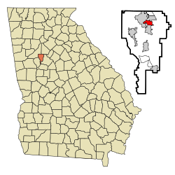
Morgan County is a county located in the north central Piedmont region and the lake country region of the U.S. state of Georgia. As of the 2020 census, the population was 20,097. The county seat is Madison.

Flovilla is a city in Butts County, Georgia, United States. The population was 653 at the 2010 census, and 643 in 2020.

Bonanza is an unincorporated community and census-designated place (CDP) in Clayton County, Georgia, United States. The population was 3,135 at the 2010 census, and 4,406 in 2020.

Conley is an unincorporated community and census-designated place (CDP) in Clayton County, Georgia, United States. It is at Atlanta's southeast corner, 7.98 miles from downtown. The population was 6,680 at the 2020 census. It is part of the Atlanta metropolitan area.
Forest Park is a city in Clayton County, Georgia, United States. It is located approximately nine miles (14 km) south of Atlanta and is part of the Atlanta–Sandy Springs–Marietta metropolitan statistical area. As of the 2020 census, the city had a population of 19,932.

Jonesboro is a city in and the county seat of Clayton County, Georgia, United States. The population was 4,235 in 2020.
Lovejoy is a city in Clayton County, Georgia, United States. During the American Civil War, it was the site of the Battle of Lovejoy's Station during the Atlanta Campaign of 1864. Lovejoy was incorporated as a town on September 16, 1861. As of 2020, its population was 10,122.

Morrow is a city in Clayton County, Georgia, United States. It is part of the Atlanta metropolitan area. Its population was 6,569 in 2020. It is the home of Clayton State University and the Georgia Archives.

Homerville is a city and the county seat of Clinch County, Georgia, United States. Its population was 2,456 at the 2010 census, a decrease of 12.38% from 2,803 in 2000. It was incorporated February 15, 1869.

Harlem is a city in Columbia County, Georgia, United States. It is part of the Augusta metropolitan area. The population was 2,666 at the 2010 census, up from 1,814 in 2000. This city was named after the neighborhood in the borough of Manhattan. Harlem is the birthplace of comedian Oliver Hardy; the annual Harlem Oliver Hardy Festival is held on the first Saturday each October on Main Street in his honor.
Sharpsburg (ˈʃɑrpsbɝg) is a town in Coweta County, Georgia, United States. It is part of the Atlanta metropolitan area. Its population was 327 at the 2020 census.

Pine Lake is the smallest city in DeKalb County, Georgia, United States. The population was 752 at the 2020 census.

Tyrone is a town in Fayette County, Georgia, United States. The population was 7,658 in 2020. The estimated population in 2018 was 7,388. It is a part of the Atlanta metropolitan area.

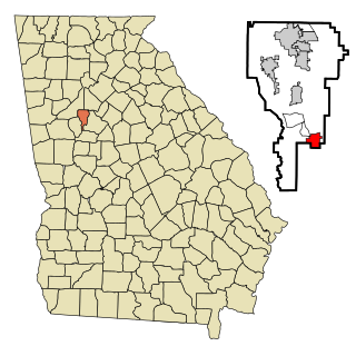
Greensboro is a city in and the county seat of Greene County, Georgia, United States. Its population was 3,648 as of the 2020 census. The city is located approximately halfway between Atlanta and Augusta on Interstate 20.

Hampton is a city in southwestern Henry County, Georgia, United States. The population as of the 2020 census was 8,368. It is a southeastern suburb in the Atlanta metropolitan area.

Lincolnton is a city and the county seat of Lincoln County, Georgia, United States. The population was 1,480 at the 2020 census. It contains numerous houses and historic districts listed on the National Register of Historic Places. Both the city and the county were named for General Benjamin Lincoln, who served in the Continental Army during the American Revolution.

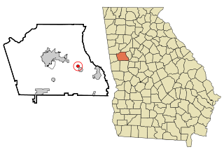
Greenville is a city and the county seat of Meriwether County, Georgia, United States. The population was 794 at the 2020 census, down from 876 in 2010. The city is located 60 miles (97 km) southwest of Atlanta and is part of the Atlanta metropolitan area.
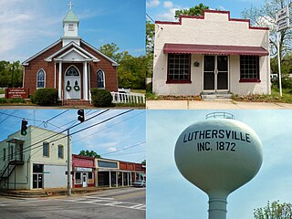
Luthersville is a city in Meriwether County, Georgia, United States. The population was 776 at the 2020 census, down from 874 in 2010.

Baconton is a city in Mitchell County, Georgia, United States. As of the 2020 census, the city had a population of 856, down from 915 in 2010.
Butler is the county seat of Taylor County, Georgia, United States. Its population was 1,972 at the 2010 census, and 1,881 in 2020.