Longniddry
| |
|---|---|
 Links Road, Longniddry | |
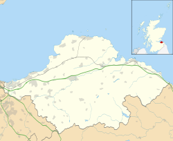 Longniddry Location within East Lothian | |
| Population | 2,340 (2020) [1] |
| OS grid reference | NT442761 |
| • Edinburgh | 11.5 mi (18.5 km) |
| • London | 329 mi (529 km) |
| Civil parish | |
| Council area | |
| Lieutenancy area | |
| Country | Scotland |
| Sovereign state | United Kingdom |
| Post town | LONGNIDDRY |
| Postcode district | EH32 |
| Dialling code | 01875 |
| Police | Scotland |
| Fire | Scottish |
| Ambulance | Scottish |
| UK Parliament | |
| Scottish Parliament | |
Longniddry (Scots : Langniddry, Scottish Gaelic : Nuadh-Treabh Fada) [2] is a coastal village in East Lothian, Scotland, with an estimated population of 2,340 in 2020. [1] The Scottish Women's Rural Institute was founded here in 1917.