Provincial Trunk Highway 6 is a provincial primary highway located in the Canadian province of Manitoba. It runs from the Perimeter Highway of Winnipeg to the Thompson south city limits. It is also the main highway connecting Winnipeg to northern Manitoba. The speed limit is 100 km/h. The route is also used to deliver nickel from the Thompson mine to the Royal Canadian Mint in Winnipeg. The section of highway between its southern terminus near Winnipeg and the second junction with PTH 68 near Eriksdale is part of the Northern Woods and Water Route. The portion of the highway between Ponton and Thompson was known as Highway 391 prior to 1986.
Provincial Trunk Highway 5 is a provincial primary highway located in the Canadian province of Manitoba.

Provincial Trunk Highway 10 is a provincial primary highway located in the Canadian province of Manitoba.
Provincial Trunk Highway 23 is a major east-west provincial highway in the southern portion of the Canadian province of Manitoba. It runs from PTH 21 just south of Hartney to PTH 59 in La Rochelle. Along its route, PTH 23 passes through the communities of Elgin, Ninette, Baldur, Miami, Lowe Farm, and Morris.
Provincial Trunk Highway 24 is a provincial highway in the Canadian province of Manitoba. It is an east–west route that runs from PTH 83 near Miniota, east through Oak River and Rapid City to the junction of PTH 10 and PR 262 between Brandon and Minnedosa.
Provincial Trunk Highway 22 is a short north-south provincial highway in the Canadian province of Manitoba. It runs from PTH 23 near Elgin to PTH 2 and PR 250 in Souris. This highway is the main access road to the renowned Souris Swinging Bridge.
Provincial Trunk Highway 50 is a provincial highway in the south-central region of the Canadian province of Manitoba. It runs from PTH 16 to PTH 5 and PR 361 in the village of McCreary.
Provincial Trunk Highway 20 is a provincial highway in the Canadian province of Manitoba. It runs from PTH 5 and PR 582 just south of Ochre River to PTH 10 in the village of Cowan. The highway provides an eastern alternative access option to Dauphin along with PTH 20A.
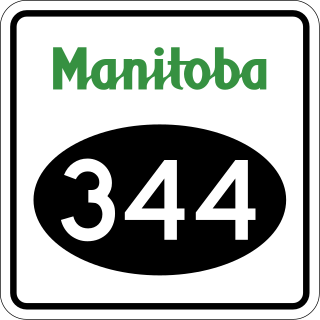
Provincial Road 344 is a very short provincial road in the Westman Region of the Canadian province of Manitoba. It connects the town of Wawanesa with PTH 2 on its western side.
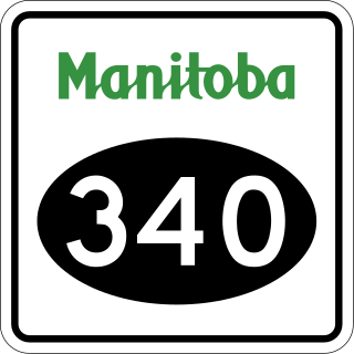
Provincial Road 340 is a provincial road in the Westman Region of the Canadian province of Manitoba, connecting Wawanesa with Treesbank, Sprucewoods, Cottonwoods, and the Trans-Canada Highway at Douglas.

Provincial Road 331 is an east-west provincial road in the Central Plains Region of the Canadian province of Manitoba, connecting the city of Portage la Prairie and the town of Oakville via Newton.

Provincial Road 262 is a 76.4-kilometre-long (47.5 mi) north-south provincial road in the Westman Region of the Canadian province of Manitoba. It serves as a loop route off of PTH 10, connecting Tremaine with Onanole on the south side of Riding Mountain National Park via Minnedosa, Clanwilliam, Hilltop, and Scandinavia.

Manitoba Provincial Road 354 is a provincial road in the southwestern section of the Canadian province of Manitoba.

Manitoba Provincial Road 353 is a provincial road in southwestern region of the Canadian province of Manitoba.

Provincial Road 349 is a provincial road in the Westman Region of the Canadian province of Manitoba.

Manitoba Provincial Road 263 is a former provincial road in the Canadian province of Manitoba.

Provincial Road 482 is provincial road in the far western part of the Canadian province of Manitoba.
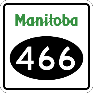
Provincial Road 466 is a short 10-kilometre-long (6.2 mi) north-south provincial road in the Westman Region of the Canadian province of Manitoba.

Provincial Road 465 is a 24-kilometre-long (15 mi) east-west provincial road in the Westman Region of the Canadian province of Manitoba.

Manitoba Provincial Road 468 is a provincial road in the southwestern section of the Canadian province of Manitoba.
