Rural Municipality of Victoria | |
|---|---|
 Grain elevator at Holland | |
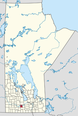 Location of the RM of Victoria in Manitoba | |
| Coordinates: 49°39′52″N98°54′55″W / 49.66444°N 98.91528°W | |
| Country | Canada |
| Province | Manitoba |
| Region | Central Plains |
| Area | |
| • Land | 703.54 km2 (271.64 sq mi) |
| Population | |
• Total | 1,188 |
| Time zone | UTC-6 (CST) |
| • Summer (DST) | UTC-5 (CDT) |
| Area codes | 204 and 431 |
| Website | rmofvictoria |
The Rural Municipality of Victoria is a rural municipality (RM) located in south-central Manitoba, north-east of Glenboro. The RM was established in 1902 and named for Queen Victoria. In its westernmost part, the RM contains parts of Manitoba's Spruce Woods Provincial Forest and Spruce Woods Provincial Park.
