Provincial Trunk Highway 16 (PTH 16) is a provincial highway in the Canadian province of Manitoba. It is the Manitoba section of the Yellowhead Highway, and also the Trans-Canada Highway Yellowhead section. The main purpose of this highway is to connect Winnipeg with other Canadian cities such as Saskatoon and Edmonton. The highway runs from Bloom at an intersection with the Trans-Canada Highway and Provincial Road 305 ten kilometres (6.2 mi) west of Portage la Prairie to the Saskatchewan boundary sixteen kilometres (9.9 mi) west of Russell, where it continues as Saskatchewan Highway 16.
Provincial Trunk Highway 6 is a provincial primary highway located in the Canadian province of Manitoba. It runs from the Perimeter Highway of Winnipeg to the Thompson south city limits. It is also the main highway connecting Winnipeg to northern Manitoba. The speed limit is 100 km/h. The route is also used to deliver nickel from the Thompson mine to the Royal Canadian Mint in Winnipeg. The section of highway between its southern terminus near Winnipeg and the second junction with PTH 68 near Eriksdale is part of the Northern Woods and Water Route. The portion of the highway between Ponton and Thompson was known as Highway 391 prior to 1986.
Provincial Trunk Highway 7 is a provincial primary highway located in the Canadian province of Manitoba. It runs from the northern limit of the city of Winnipeg north to Arborg, Manitoba where it intersects with PTH 68. The highway is twinned from Winnipeg to just north of PTH 67, an east-west route that provides access to the Town of Stonewall.
Provincial Trunk Highway 5 is a provincial primary highway located in the Canadian province of Manitoba.
Provincial Trunk Highway 24 is a provincial highway in the Canadian province of Manitoba. It is an east–west route that runs from PTH 83 near Miniota, east through Oak River and Rapid City to the junction of PTH 10 and PR 262 between Brandon and Minnedosa.
Provincial Trunk Highway 50 is a provincial highway in the south-central region of the Canadian province of Manitoba. It runs from PTH 16 to PTH 5 and PR 361 in the village of McCreary.

Provincial Road 473 is a former provincial road in the Canadian province of Manitoba.
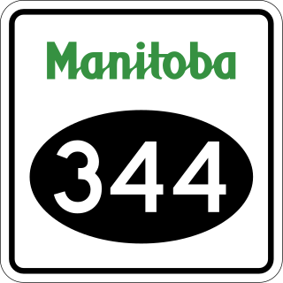
Manitoba Provincial Road 344 is a very short provincial road in the Canadian province of Manitoba.
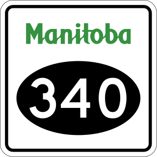
Manitoba Provincial Road 340 is a provincial road in the southwestern section of the Canadian province of Manitoba.

Manitoba Provincial Road 331 is an east-west provincial road in the south-central section of the Canadian province of Manitoba.

Manitoba Provincial Road 262 is a provincial road in the western region of the Canadian province of Manitoba.

Manitoba Provincial Road 355 is an east-west provincial road in the southwestern section of the Canadian province of Manitoba.

Manitoba Provincial Road 354 is a provincial road in the southwestern section of the Canadian province of Manitoba.

Manitoba Provincial Road 350 is a provincial road in the south-central section of the Canadian province of Manitoba.

Manitoba Provincial Road 349 is a provincial road in the southwestern section of the Canadian province of Manitoba.

Manitoba Provincial Road 263 is a former provincial road in the Canadian province of Manitoba.

Manitoba Provincial Road 464 is a north-south provincial road in the southwestern section of the Canadian province of Manitoba.
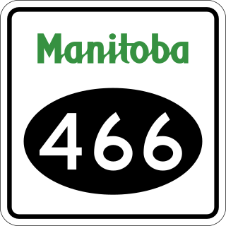
Manitoba Provincial Road 466 is a very short north-south provincial road in the southwestern section of the Canadian province of Manitoba.

Manitoba Provincial Road 465 is a provincial road in the southwestern section of the Canadian province of Manitoba.

Manitoba Provincial Road 468 is a provincial road in the southwestern section of the Canadian province of Manitoba.
