
The City of Bayswater is a local government area in the Western Australian capital city of Perth, about 7 kilometres (4 mi) northeast of Perth's central business district. The city covers an area of 34.6 square kilometres (13.4 sq mi) and had a population of 69,283 as at the 2021 Census. The City of Bayswater is a member of the Eastern Metropolitan Regional Council.
The City of Belmont is a local government area in the inner eastern suburbs of the Western Australian capital city of Perth, located about 8 kilometres (5 mi) east of Perth's central business district on the south bank of the Swan River. The City covers an area of 39.8 square kilometres (15.4 sq mi), maintains 225 km of roads and had a population of almost 40,000 as at the 2016 Census. The City of Belmont is a member of the Eastern Metropolitan Regional Council

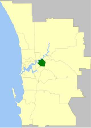
The City of Cockburn is a local government area in the southern suburbs of the Western Australian capital city of Perth about 8 kilometres (5 mi) south of Fremantle and about 24 kilometres (15 mi) south of Perth's central business district. The City covers an area of 167.5 square kilometres (64.7 sq mi) and had a population of over 104,000 as at the 2016 Census.
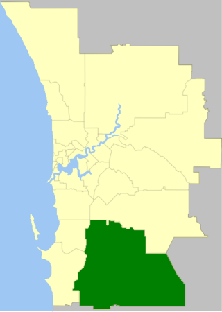
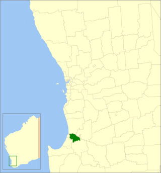
The Shire of Serpentine-Jarrahdale is a local government area in the outer southeastern metropolitan area of Perth, the capital of Western Australia, and has an area of 905 square kilometres (349 sq mi) and a population of 32,173 as at the 2021 Census. Despite being named after two towns in the area, neither Serpentine nor Jarrahdale function as either the Shire's largest settlement (Byford) or the seat of government (Mundijong).
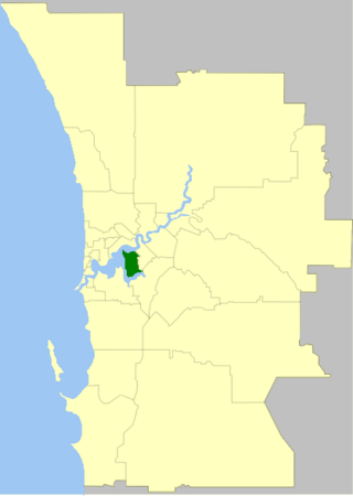
The City of South Perth is a local government area in the inner southern suburbs of the Western Australian capital city of Perth about 4 kilometres (2.5 mi) south of Perth's central business district. The City covers an area of 19.9 square kilometres (7.7 sq mi), maintains 203 kilometres (126 mi) of roads and a little over 4.3 km2 of parks and gardens, and had a population of about 42,000 at the 2016 Census. The City is the entirety of the state electoral district of South Perth. An area of Kensington joined into South Perth after the 2013 redistribution, although dwindling population growth in Victoria Park may mean that part of the City will move back.

The City of Swan is a local government area of Western Australia. It is in the eastern metropolitan region of Perth and includes the Swan Valley and 42 suburbs. It is centred approximately 20 km north-east of the Perth central business district. The City covers an area of 1,042 km² and had an estimated population of 155,653 in 2020.

The Town of Victoria Park is a local government area of Western Australia. It covers an area of 17.62 km² in metropolitan Perth, the capital of Western Australia. It had a population of approximately 35,000 as at the 2016 Census.

The City of Vincent is a local government area of Western Australia. It covers an area of approximately 10.4 square kilometres (4.0 sq mi) in metropolitan Perth, the capital of Western Australia, and lies about 3 km from the Perth CBD. The City of Vincent maintains 139 km of roads and 104 ha of parks and gardens. It had a population of over 33,000 at the 2016 Census.

The City of Wanneroo is a local government area with city status in the northern suburbs of Perth, Western Australia. It is centred approximately 25 kilometres (15.5 mi) north of Perth's central business district and forms part of the northern boundary of the Perth metropolitan area. Wangara encompasses the federal divisions of Cowan, Moore and Pearce.

Serpentine is a town located 55 kilometres (34 mi) south-southeast of Perth, the capital of Western Australia, and 7 km south of Mundijong.

Jarrahdale is a small historic town located 45 km south-east of Perth, Western Australia in the Darling Range. The name is derived from its situation in a jarrah forest. Established in the late 1800s as the state's first major timber milling operation, it played a key role in the development of Western Australia through the exportation of jarrah around the world. At the 2016 census, Jarrahdale had a population of 1,192. Since 2001, the historic precinct has been managed by the state's National Trust organisation alongside private residential and tourism-oriented developments.

The City of Mandurah is a local government area of Western Australia, covering both Mandurah proper and an additional area reaching down as far south as Lake Clifton. The city has a total area of approximately 174 square kilometres (67 sq mi).

The City of Kalamunda is a local government area in the eastern metropolitan region of the Western Australian capital city of Perth about 25 kilometres (16 mi) east of Perth's central business district. The area covers 324 square kilometres (125 sq mi), much of which is state forest rising into the Darling Scarp to the east. As of 2021, the city had a population of 58,762.

The City of Armadale is a local government area in the southeastern suburbs of the Western Australian capital city of Perth, about 28 kilometres (17.4 mi) southeast of Perth's central business district. The City covers an area of 560 square kilometres (216 sq mi), much of which is state forest rising into the Darling Scarp to the east, and had a population of almost 80,000 as at the 2016 Census.

The Shire of Boyup Brook is a local government area located in the South West region of Western Australia, about 270 kilometres (168 mi) southeast of Perth, the state capital. The Shire covers an area of 2,829 square kilometres (1,092 sq mi) and its seat of government is the town of Boyup Brook.
The Shire of Dardanup is a local government area in the South West region of Western Australia, immediately to the east and southeast of the City of Bunbury and about 180 kilometres (112 mi) south of the state capital, Perth. The Shire covers an area of 526.6 square kilometres (203.3 sq mi), and its seat of government is in Eaton in Bunbury's eastern suburbs.

Keysbrook is an outer southern suburb of Perth, Western Australia in the Shire of Serpentine-Jarrahdale along the South Western Highway. It was first established as a railway siding on the South Western Railway in 1897, and is believed to have been named after Charles Key (1847–1885), who leased land in the area. The townsite was gazetted in 1916, and the locality was established in 1997.

Cardup is an outer suburb of the Western Australian capital city of Perth, located in the Shire of Serpentine-Jarrahdale to the north of the town Mundijong. In the 2011 census, it had a population of 972 people.
Whitby is a suburb of Perth, Western Australia, located near the South Western Highway in the Shire of Serpentine-Jarrahdale.

Mullingar is a locality in the Eastern Goldfields region of Western Australia. It is a suburb of Kalgoorlie-Boulder. At the 2016 census, Mullingar had a population of 305 people, down from 343 in 2011.

