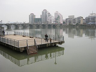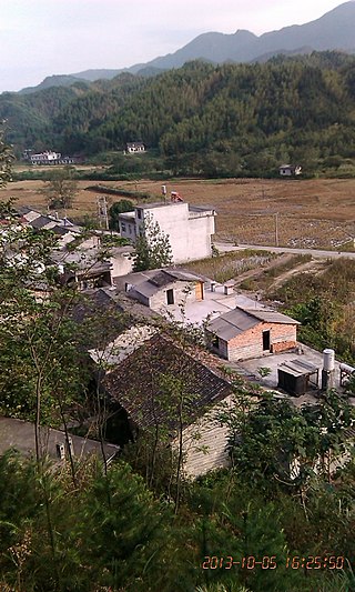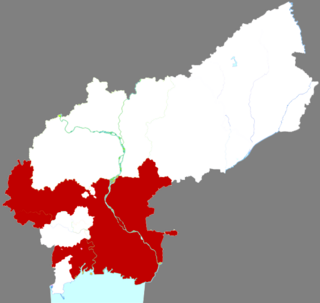
Yong'an is a county-level city in west-central Fujian province,People's Republic of China. It is located on the Sha River,which is a tributary of the Min River. Formerly a county,Yong'an became a county-level city on September 12,1984.

is a county of the prefecture-level city of Quanzhou,in southern Fujian province,People's Republic of China with 1,003,599 inhabitants. It lies adjacent to and directly north of Xiamen city.

Qianshan(simplified Chinese:潜山市;traditional Chinese:潛山市;pinyin:qián shān shì )is a county-level city in the southwest of Anhui Province,China;it is under the jurisdiction of the prefecture-level city of Anqing. It has a population of 570,000 and an area of 1,686 square kilometres (651 sq mi). The government of Qianshan County is located in Meicheng Town. The well-known Wan Mountain,or Tianzhu Mountain,is located within the borders of the County.

is a county located in central Fujian province,People's Republic of China. It is under the administration of Quanzhou City and covers an area of 2,232 square kilometres (862 sq mi) with a total population of 332,148.

is a county-level city in northeastern Ningde prefecture-level city,on Fujian's border with Zhejiang province.

Shicheng County is a county in the southeast of Jiangxi province,People's Republic of China,bordering Fujian province to the east. It is the easternmost county-level division of the prefecture-level city of Ganzhou.

Shaowu is a county-level city in northwestern Fujian province,People's Republic of China,located in the central part of the Wuyi Mountains and bordering Jiangxi province to the west. It has more than 270,000 inhabitants. The local dialect combines elements from Northern Min and Gan Chinese.

Songxi County is a county under the administration of the prefecture-level city of Nanping,in the northwest of Fujian province,People's Republic of China,bordering Zhejiang province to the east. Its county seat is located at Songyuan Subdistrict.

Taining County is a county in the northwest of Fujian province,People's Republic of China. It is the northernmost county-level division of the prefecture-level city of Sanming.

Wuyishan City is a county-level city in the municipal region of Nanping,in the northwest of Fujian,People's Republic of China,which borders Jiangxi to the northwest. It corresponds to the former Chong'an County.

Xiapu is a county in the municipal region of Ningde,Fujian,People's Republic of China,located along a stretch of East China Sea coast,with many harbours and islands. It is bordered by Fuding City and Zherong County to the north,Fu'an City and Ningde's urban area to the west,and Luoyuan County,Fuzhou and the Matsu Islands of Lienchiang County,Republic of China (Taiwan) to the south.

Minhou County is a county in eastern Fujian Province,China. It is under the administration of the prefecture-level city of Fuzhou,the provincial capital,and lies to the south and to the west of the urban area of Fuzhou. The Min River flows in a southeast direction through the center of the county,and then to the urban area of Fuzhou and into the Taiwan Strait.

Yongtai County is a county of Fujian Province,China,it is under the administration of the prefecture-level city of Fuzhou,the provincial capital.

Youxi is a county of central Fujian province,People's Republic of China. It is under the administration of Sanming City.

Shaxian District,formerly Sha County,is a District of Sanming,Fujian Province,People's Republic of China. Shaxian District is the hometown of Shaxian delicacies,which are considered part of the food heritage of China.

Zhangping is a county-level city in the southwest of Fujian province,People's Republic of China. It is under the administration of the prefecture-level city of Longyan.

Jiande is a county-level city of Zhejiang Province,East China,it is under the administration of the prefecture-level city of Hangzhou.

Chongyang County is a county of southeastern Hubei province,People's Republic of China,bordering Hunan province to the west and Jiangxi province to the southeast. It is under the administration of Xianning City.

Anhua County is a county in the Province of Hunan,China,it is under the administration of Yiyang Prefecture-level City.

Linghai is a county-level city in the west of Liaoning province,Northeast China. It was called Jinxian or Jin County until 1993,when it was reorganized into a county-level city and renamed Linghai. With its urban core lying on the west (right) bank of the Daling River,which flows into Liaodong Bay near the city,it is under the administration of the prefecture-level city of Jinzhou,the seat of which is 21 kilometres (13 mi) to the southwest.


