
Mount Cook National Park is a protected area in the locality of Cooktown, in the Shire of Cook, Queensland, Australia.

Laura is a rural town and locality in the Shire of Cook, Queensland, Australia. In the 2021 census, the locality of Laura had a population of 133 people.

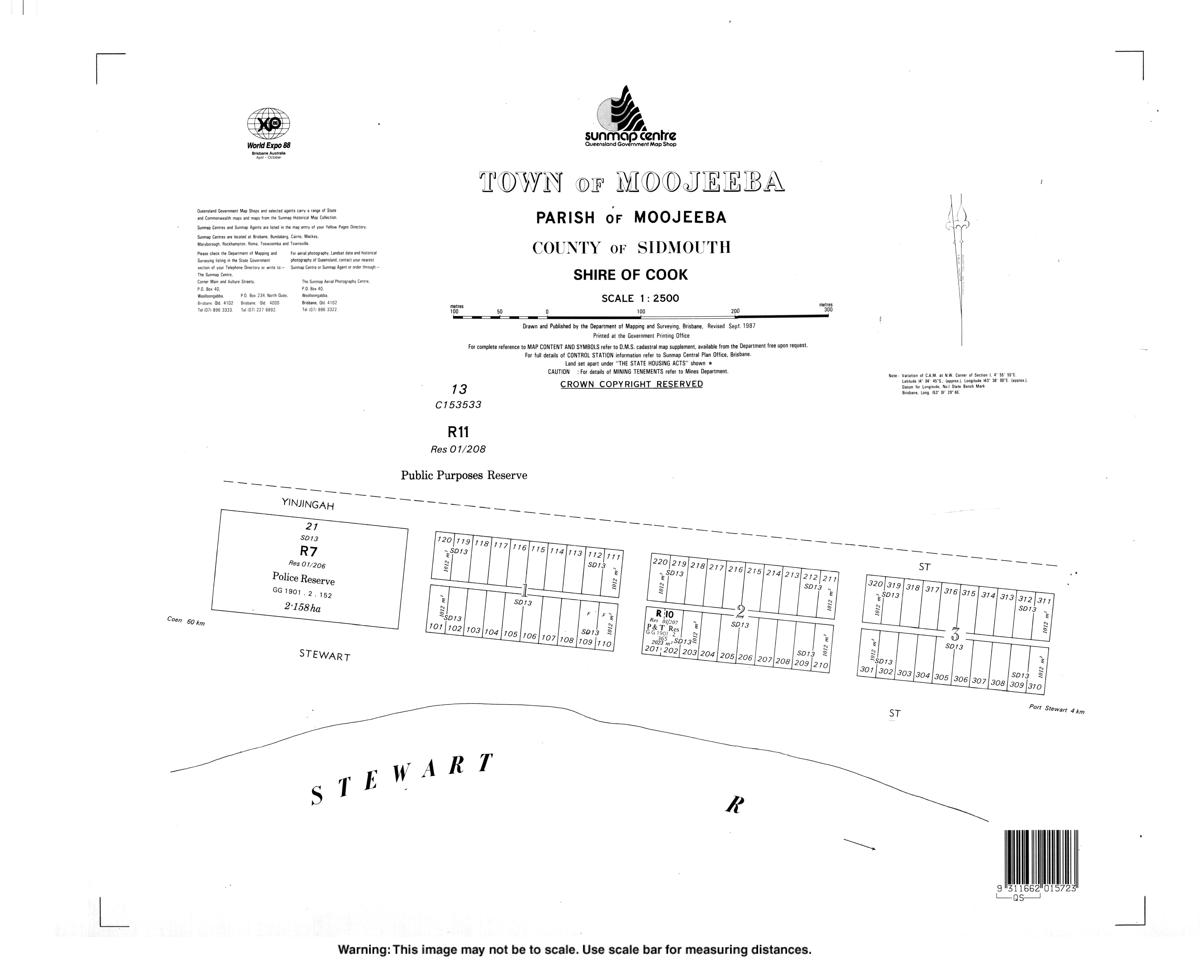
Coen is a rural town and coastal locality in the Shire of Cook, Queensland, Australia. The town of Coen is inland on the Peninsula Developmental Road, the main road on the Cape York Peninsula in far northern Queensland. In the 2021 census, the locality of Coen had a population of 320.

Cape Tribulation is a headland and coastal locality in the Shire of Douglas in northern Queensland, Australia. In the 2021 census, Cape Tribulation had a population of 123 people.

Kowanyama is a town and coastal locality in the Aboriginal Shire of Kowanyama, Queensland, Australia.

Mapoon is a coastal town in the Aboriginal Shire of Mapoon and a locality split between the Aboriginal Shire of Mapoon and the Shire of Cook in Queensland, Australia. In the 2021 census, the locality of Mapoon had a population of 469 people.

Mossman is a rural town and locality in the Shire of Douglas, Queensland, Australia. It is the administrative centre for the Douglas Shire Council In the 2021 census, the locality of Mossman had a population of 1,935 people.

The Shire of Cook is a local government area in Far North Queensland, Australia. The Shire covers most of the eastern and central parts of Cape York Peninsula, the most northerly section of the Australian mainland.
Turkey Beach is a coastal town and locality in the Gladstone Region, Queensland, Australia. In the 2021 census, the locality of Turkey Beach had a population of 148 people.

The Wujal Wujal Aboriginal Shire is a local government area in Far North Queensland, Australia. It is managed as a Deed of Grant in Trust under the Local Government Act 2004.
Rossville is a town and coastal locality in the Shire of Cook, Queensland, Australia. In the 2021 census, the locality of Rossville had a population of 253 people.

Bloomfield is a rural town in the Shire of Cook and a coastal locality which is split between the Shire of Cook and the Shire of Douglas in Queensland, Australia. The neighbourhood of Ayton is within the locality. In the 2021 census, the locality of Bloomfield had a population of 228 people.

Iron Range is a coastal locality in the Shire of Cook, Queensland, Australia. The town of Portland Road is on a north-east headland in the locality. In the 2021 census, Iron Range had a population of 30 people.
Mission River is a coastal rural locality split between the Shire of Cook and the Aboriginal Shire of Napranum in Queensland, Australia. In the 2021 census, Mission River had a population of 974 people.
Ebagoola is a town in the Shire of Cook, Queensland, Australia. The town is within the locality of Yarraden.
Marton is a town in the Shire of Cook, Queensland, Australia. The town is within the locality of Cooktown.
Merapah is a homestead in the Shire of Cook, Queensland, Australia. The homestead is within the locality of Yarraden.
Port Stewart is a town in the Shire of Cook, Queensland, Australia. The town is within the locality of Coen.

Portland Road is a town in the Shire of Cook, Queensland, Australia. The town is within the locality of Iron Range.
