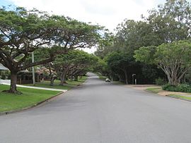
Mount Cotton is a rural locality in the City of Redland, Queensland, Australia. In the 2021 census, Mount Cotton had a population of 7,302 people.

Birkdale is a coastal locality in the City of Redland, Queensland, Australia. In the 2021 census, Birkdale had a population of 14,816 people.

Capalaba is an urban locality in the City of Redland, Queensland, Australia. In the 2021 census, Capalaba had a population of 18,002 people.

Tingalpa is a suburb in the City of Brisbane, Queensland, Australia. In the 2016 census, Tingalpa had a population of 8,290 people.

Victoria Point is a coastal locality in Redland City, Queensland, Australia. In the 2021 census, Victoria Point had a population of 15,140 people.

Cleveland is a coastal and central locality in the City of Redland, Queensland, Australia. In the 2021 census, Cleveland had a population of 15,850 people.

Dunwich is a town and locality on the western side of North Stradbroke Island in Queensland, Australia. Dunwich is part of the Redland City local government area, administered from the bayside town of Cleveland on the Queensland mainland. In the 2016 census, Dunwich had a population of 864 people.

Redland Bay is a coastal semi-rural locality in the City of Redland, Queensland, Australia. In the 2021 census, Redland Bay had a population of 17,056 people.

Point Lookout is a headland, small coastal town and locality on the eastern coast of North Stradbroke Island (Minjerribah), Redland City, Queensland, Australia. At the 2021 census, the locality of Point Lookout had a population of 785 people.

Alexandra Hills is a residential locality in the City of Redland, Queensland, Australia. In the 2021 census, Alexandra Hills had a population of 16,472 people.
Thornlands is a coastal residential locality in the City of Redland, Queensland, Australia. In the 2021 census, Thornlands had a population of 19,263 people.
Carbrook is a suburb in the City of Logan, Queensland, Australia. Carbrook was previously called Gramzow, a name of German origin. The German name was anglicised in 1916 during World War I. In the 2016 census, Carbrook had a population of 1,216 people.

Thorneside is a coastal urban locality in the City of Redland, Queensland, Australia. In the 2016 census, Thorneside had a population of 3,761 people.

Chandler is an outer south-eastern suburb in the City of Brisbane, Queensland, Australia. In the 2016 census, Chandler had a population of 1,442 people.

Lota is an eastern bayside suburb in the City of Brisbane, Queensland, Australia. In the 2021 census, Lota had a population of 3,518 people.

Hemmant is a suburb of the City of Brisbane, Queensland, Australia. In the 2016 census, Hemmant had a population of 2,385 people.

Ransome is an outer coastal suburb in the City of Brisbane, Queensland, Australia. In the 2016 census, Ransome had a population of 405 people.
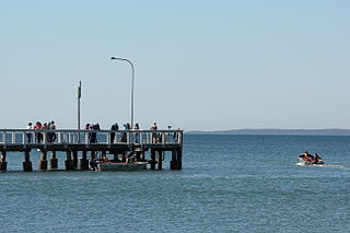
Wellington Point is a residential coastal locality in the City of Redland, Queensland, Australia. In the 2021 census, Wellington Point had a population of 12,661 people. It is a popular seaside destination within the Brisbane metropolitan area and is notable for a popular walk along a sandbar to King Island which emerges at low tide.

Sheldon is a rural residential locality in the City of Redland, Queensland, Australia. In the 2016 census, Sheldon had a population of 1,704 people.
Barinia Station was a railway station on the Cleveland Line in Ormiston in the City of Redland, Queensland, Australia. It opened in 1937 for passengers only and had no goods facilities. It closed in 1960 with the closure of the railway beyond Lota and was demolished soon after. It was not rebuilt when the line was reopened in 1987.