This article needs additional citations for verification .(April 2024) |
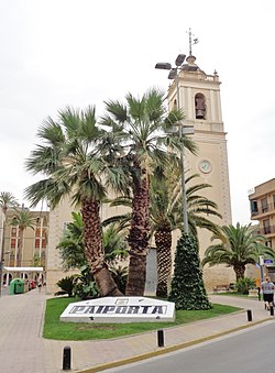
Paiporta | |
|---|---|
 | |
 Coat of arms | |
 Paiporta Location in Spain 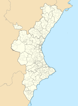 Paiporta Paiporta (Valencian Community)  Paiporta Paiporta (Spain) | |
| Coordinates: 39°25′40″N0°25′6″W / 39.42778°N 0.41833°W | |
| Country | |
| Autonomous community | |
| Province | Valencia |
| Comarca | Horta Sud |
| Founded | 1676 |
| Government | |
| • Alcaldessa (Mayoress) | Maria Isabel Albalat Asensi (PSPV-PSOE) |
| Area | |
• Total | 3.9 km2 (1.5 sq mi) |
| Elevation | 23 m (75 ft) |
| Population (2025-01-01) [1] | |
• Total | 28,136 |
| • Density | 7,200/km2 (19,000/sq mi) |
| Demonyms | Paiportan paiportí, -ina (Val.) paiportino/a (Sp.) |
| Official language(s) | |
| Linguistic area | Valencian |
| Time zone | UTC+1 (CET) |
| • Summer (DST) | UTC+2 (CEST) |
| Postal code | 46200 |
| Website | Official website |
Paiporta [a] is a town and municipality of Spain belonging to the province of Valencia and the Valencian Community. It is part of the comarca of Horta Sud.
Contents
Paiporta was billed as the ground zero of the October 2024 floods affecting the province of Valencia. [2] In the town, 45 inhabitants died. In the case of Paiporta and other municipalities of the Valencia metropolitan area, damage was caused by the overflow of the Rambla del Poyo. [3]