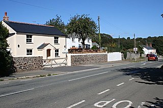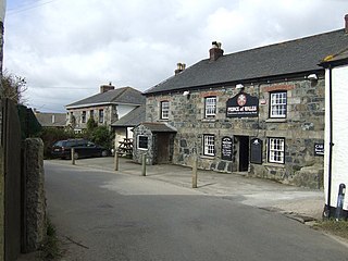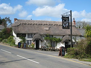
Paramoor is a hamlet near St Mewan in Cornwall, England. [1] Paramoor is southwest of Sticker and Paramoor Wood is nearby. [2] [3]

Paramoor is a hamlet near St Mewan in Cornwall, England. [1] Paramoor is southwest of Sticker and Paramoor Wood is nearby. [2] [3]
Coombe is a settlement in Gwennap civil parish, Cornwall, England, United Kingdom. It is situated approximately three-and-a-half miles (6 km) southeast of Redruth at grid reference SW 763 409.

Trewarthenick is a hamlet in the civil parish of Tregoney in Cornwall, England, United Kingdom.

Blowinghouse is the name of two settlements in Cornwall, England, United Kingdom.

Bodrean and Frogmore are farmstead settlements in Cornwall, England, United Kingdom, situated two miles north-northeast of Truro.

Chiverton Cross is a road junction in west Cornwall, England, United Kingdom, about four miles north-east of Redruth and five miles (8 km) west of Truro at OS grid ref SW747469. Its name derives from Chyverton House which is in the extreme east of the parish of Perranzabuloe.

Lamorran is a village 3+1⁄2 miles (5.6 km) southeast of Truro in Cornwall, England. Lamorran lies within the Cornwall Area of Outstanding Natural Beauty (AONB).

New Mills is a hamlet in Cornwall, England, United Kingdom. It is situated in a wooded valley north of Ladock approximately seven miles (11 km) northeast of Truro at OS grid reference SW899523.
Cox Hill is a hamlet in the parish of Chacewater, Cornwall, England.

Gillan is a hamlet in the parish of St Anthony-in-Meneage, Cornwall, England. Gillan Creek is one of the creeks of the Helford River.

Idless is a hamlet north of Truro in Cornwall, England. The River Allen rises north of St Allen and flows southwards through the Idless Valley into Truro. It is in the civil parish of Kenwyn.

Halvosso is a hamlet in the civil parish of Mabe in west Cornwall, England, UK. It is in the civil parish of Constantine.

Hewas Water is a hamlet in mid Cornwall, England, UK. It is off the A390 road near Sticker and about 3 miles (5 km) west southwest of St Austell. It is in the civil parish of St Mewan

Hick's Mill is a hamlet in Cornwall, England. It is about a mile southeast of Trewen on the River Inny. It is in the civil parish of Gwennap

Newtown-in-St Martin is a hamlet in the parish of St Martin-in-Meneage, Cornwall, England. Newtown is south-southeast of St Martin's Green.

Penelewey is a hamlet southeast of Playing Place in Cornwall, England, UK. Penelewey is on the B3289 road.
Penwartha Coombe is a hamlet south of Perranporth, Cornwall, England.
Sewrah Moor is a hamlet in west Cornwall, England, United Kingdom. It lies just north of Stithians.
Trelassick is a hamlet northwest of Ladock, Cornwall, England, United Kingdom.
Treworlas is a hamlet west of Veryan, Cornwall, England, United Kingdom, part of the civil parish of Philleigh.

Treworthal is a hamlet in the parish of Philleigh, Cornwall, England, United Kingdom.
Coordinates: 50°18′34″N4°50′47″W / 50.30944°N 4.84639°W