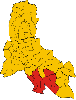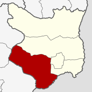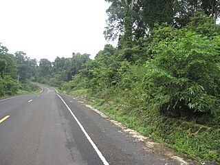
Banlung is the capital of Ratanakiri Province in northeastern Cambodia. Banlung is 636 kilometres from the Cambodian capital of Phnom Penh. Ratanakiri Province borders Vietnam and Laos. Banlung had been previously known as Banlung district before it was officially gained the town status. The town has a population of around 17,000 and the surrounding district has a population of 23,888.

Steung Trang district is a district (srok) located in Kampong Cham Province, Cambodia. The district capital is Steung Trang town located around 30 kilometres directly north of the provincial capital of Kampong Cham by road. Steung Trang is a large border district in the north of the province located on the Mekong River. The district lies on the border between Kampong Cham, Kampong Thom, Kratie and Tbong Khmum provinces. It is the birthplace of two Cambodian Prime Ministers: Hang Thun Hak (1972–1973) and Hun Sen.

Kampong Rou District is a district located in Svay Rieng Province, Cambodia. The district is subdivided into 12 khums and 87 phums. According to the 1998 census of Cambodia, it had a population of 61,496.

Veal Veng, Khmer: ស្រុកវាលវែង, is a district in Pursat Province, Cambodia. The district capital is Pramoey town located 109 km (68 mi) by road from National Highway Number 5.

Kandieng District is a district in Pursat Province, Cambodia. The district capital is at Kandieng town located about 12 km from the Provincial capital Pursat.

Phnum Kravanh district is a district in Pursat Province, Cambodia. In English the name translates to the Cardamom Mountains.

Kampong Svay is a district within Kampong Thom Province, in central Cambodia. According to the 1998 census of Cambodia, it had a population of 74,843.

Santuk is a district within Kampong Thom Province, in central Cambodia. According to the 1998 census of Cambodia, it had a population of 58,434. Santuk Silk Farm and Phnom Santuk lie in the district.

Stoung is a district within Kampong Thom Province, in central Cambodia. According to the 1998 census of Cambodia, it had a population of 94,119.

Kaev Seima is a district located in Mondulkiri Province, in Cambodia. According to the 1998 census of Cambodia, it had a population of 8,854.

Kaoh Nheaek is a district in Mondulkiri Province, Cambodia. It had a population of 8,919 in Cambodia's 1998 census.

Ou Reang is a district located in Mondulkiri Province, in Cambodia. According to the 1998 census of Cambodia, it had a population of 2,473.

Senmonorom Municipality is a municipality located in Mondulkiri Province in north-eastern Cambodia. The provincial capital Senmonorom is located in the municipality. According to the 1998 census of Cambodia, it had a population of 7,032.

Prey Kabbas District is a district located in Takeo Province, in southern Cambodia. According to the 1998 census of Cambodia, it had a population of 85,880.

Lumphat is a district in Ratanakiri Province, north-east Cambodia. In 1998, it had a population of 10,301.

Ou Ya Dav District is a district in Ratanakiri Province, northeast Cambodia. In 1998, it had a population of 10,898. It contains 29 villages, which are located in seven communes.

Angkor Chum District is a district of Siem Reap Province, in north western Cambodia. According to the 1998 census of Cambodia, it had a population of 48,476.

Srei Snam District is a district of Siem Reap Province, in north western Cambodia. According to the 1998 census of Cambodia, it had a population of 26,738.

Variin District is a district located in Siem Reap Province, in north-west Cambodia. According to the 1998 census of Cambodia, it had a population of 19,818.

Pailin Municipality is a municipality (krong) in the centre of Pailin Province in north-western Cambodia. The municipality is subdivided into 4 Sangkats and 36 phums (villages). According to the 1998/2008 census of Cambodia, the 575 km2 city had a population of 15,800 and 36,354 respectively.


