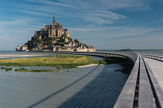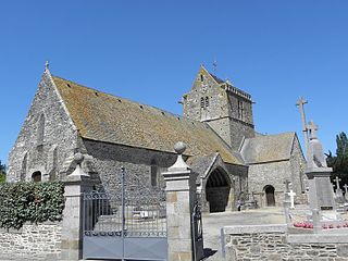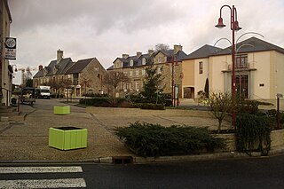
Manche is a coastal French département in Normandy on the English Channel, which is known as La Manche, literally "the sleeve", in French. Manche is bordered by Ille-et-Vilaine and Mayenne to the south, Orne and Calvados to the east, the English Channel to the west and north and by sharing maritime borders with the Crown Dependencies of Bailiwick of Jersey and Bailiwick of Guernsey of the United Kingdom to the west. It had a population of 495,045 in 2019.

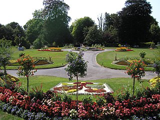
Avranches is a commune in the Manche department, and the region of Normandy, northwestern France. It is a subprefecture of the department. The inhabitants are called Avranchinais.

The 4 arrondissements of the Manche department are:
- Arrondissement of Avranches, with 134 communes. The population of the arrondissement was 123,523 in 2013.
- Arrondissement of Cherbourg, with 144 communes. The population of the arrondissement was 190,262 in 2013.
- Arrondissement of Coutances, with 81 communes. The population of the arrondissement was 84,327 in 2013.
- Arrondissement of Saint-Lô, with 87 communes. The population of the arrondissement was 101,807 in 2013.

The arrondissement of Avranches is an arrondissement of France in the Manche department in the Normandy region. It has 134 communes. Its population is 134,724 (2016), and its area is 1,888.2 km2 (729.0 sq mi).
The following is a list of the 27 cantons of the Manche department, in France, following the French canton reorganisation which came into effect in March 2015:

Genêts is a commune in the department of Manche, in northwestern France. It was the port of the oppidum Ingena, the main settlement of the Abrincatui.

Pontaubault is a commune in the Manche department in north-western France.

Pont-Hébert is a commune in the Manche department in Normandy in north-western France. On 1 January 2018, the former commune of Le Hommet-d'Arthenay was merged into Pont-Hébert.

Hiesville is a commune in the Manche department in Normandy, north-western France. A small commune, Hiesville covers an area of just 4.03 km2 (1.56 sq mi). It is bounded by Boutteville to the north, Blosville to the west, Sainte-Marie-du-Mont to the east, and Vierville to the south, and lies several kilometres from the Normandy coast.

Saint-Senier-sous-Avranches is a commune in the Manche department in Normandy in north-western France.

Juilley is a commune in the Manche department in north-western France.

Saint-James is a commune in the Manche department in Normandy in north-western France. On 1 January 2017, the former communes of Argouges, Carnet, La Croix-Avranchin, Montanel, Vergoncey and Villiers-le-Pré were merged into Saint-James.

Le Val-Saint-Père is a commune in the Manche department in Normandy in northwestern France.

Vernix is a commune in the Manche department in Normandy in north-western France. Vernix is the home of 155 people (2018). Vernix is part of the arrondissement of Avranches and the canton of Isigny-le-Buat.

Saint-Martin-des-Champs is a former commune in the Manche department in Normandy in north-western France. On 1 January 2019, it was merged into the commune Avranches.

The Tramway d'Avranches was a 2.7 kilometres long tramway system serving the coastal town of Avranches, France.

Tessy-Bocage is a commune in the department of Manche, northwestern France. The municipality was established on 1 January 2016 by merger of the former communes of Fervaches and Tessy-sur-Vire. On 1 January 2018, the former commune of Pont-Farcy was merged into it.
The canton of Avranches is an administrative division of the Manche department, northwestern France. Its borders were modified at the French canton reorganisation which came into effect in March 2015. Its seat is in Avranches.
The canton of Isigny-le-Buat is an administrative division of the Manche department, northwestern France. Its borders were modified at the French canton reorganisation which came into effect in March 2015. Its seat is in Isigny-le-Buat.

Communauté d'agglomération Mont-Saint-Michel-Normandie is a communauté d'agglomération, an intercommunal structure. It covers the southern part of the Manche department, in the Normandy region, northwestern France. Created in 2017, its seat is in Avranches. Its area is 1,543.9 km2. Its population was 87,613 in 2019.


