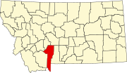
Park County is a county in the U.S. state of Montana. At the 2020 census, the population was 17,191. Its county seat is Livingston. A small part of Yellowstone National Park is in the southern part of the county.

Gallatin County is a county located in the U.S. state of Montana. With its county seat in Bozeman, it is the second-most populous county in Montana, with a population of 118,960 in the 2020 Census.
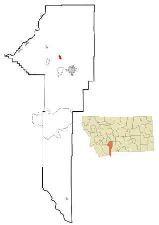
Belgrade is a city in Gallatin County, Montana, United States. The population was 10,460 at the 2020 census. Belgrade is part of the Bozeman, MT Micropolitan Statistical Area. It is the most populous city in Montana that is not a county seat.

Bozeman is a city in and the county seat of Gallatin County, Montana, United States. Located in southwest Montana, the 2020 census put Bozeman's population at 53,293 making it the fourth-largest city in Montana. It is the principal city of the Bozeman, Montana, Micropolitan Statistical Area, consisting of all of Gallatin County with a population of 118,960. It is the fastest growing micropolitan statistical area in the United States in 2018, 2019 and 2020, as well as the second-largest of all Montana's statistical areas.

Four Corners is a census-designated place (CDP) in Gallatin County, Montana, United States. The population was 5,901 at the 2020 census, up from 3,146 in 2010. It is part of the Bozeman, MT Micropolitan Statistical Area.

Manhattan is a town in Gallatin County, Montana, United States. The population was 2,086 at the 2020 census. It is part of the 'Bozeman Micropolitan Statistical Area'.

Willow Creek is a census-designated place (CDP) in Gallatin County, Montana, United States. The population was 210 at the 2010 census. It is part of the Bozeman, MT Micropolitan Statistical Area.

Alder is an unincorporated community and census-designated place (CDP) in Madison County, Montana, United States. The population was 86 at the 2020 census, down from 103 in 2010. The community takes its name from Alder Creek, the site of the second major gold discovery in Montana.
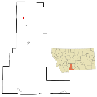
Wilsall is a census-designated place (CDP) in Park County, Montana, United States. The population was 237 at the 2000 census.

Big Sky is an unincorporated community and census-designated place (CDP) in Gallatin and Madison counties in southwestern Montana, United States. As of the 2020 census, it had a population of 3,591, up from 2,308 in 2010. It is 44 miles (71 km) by road southwest of Bozeman. The primary industry of the area is tourism.

Emigrant is an unincorporated community in Park County, Montana, United States. As of the 2010 census, the ZIP Code Tabulation Area (59027) for Emigrant had a population of 372. Emigrant is located in southern Montana, on the Yellowstone River, approximately 30 miles (48 km) north of Yellowstone National Park, and 20 miles (32 km) south of Livingston.
Gallatin Gateway is a census-designated place (CDP) in Gallatin County, Montana, United States. As of the 2010 census it had a population of 856. Elevation is 4,953 ft.
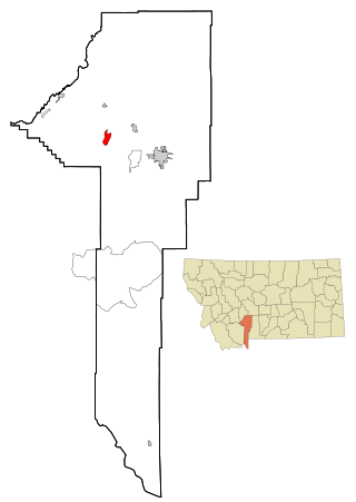
Amsterdam is a census-designated place (CDP) in Gallatin County, Montana, United States. The population was 206 at the 2020 census. It is part of the Bozeman, MT Micropolitan Statistical Area. It was formerly part of the Amsterdam-Churchill CDP.
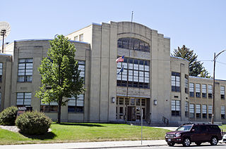
Bozeman Public Schools is a school district located in Bozeman, Montana, USA. The district's superintendent is Casey Bertram.
Kila is a census-designated place and unincorporated community in Flathead County, Montana, United States. Its population was 424 as of the 2020 census. Kila has a post office with ZIP code 59920, which opened on May 27, 1901. The community is located along U.S. Route 2, 10 miles from Kalispell.
Gallatin River Ranch is a census-designated place (CDP) in Gallatin County, Montana, United States. The population was 69 at the 2010 census.
Springhill is a census-designated place (CDP) in Gallatin County, Montana, United States. The population was 130 at the 2010 census. It is 14 miles north of Bozeman.
King Arthur Park is a census-designated place (CDP) in Gallatin County, Montana, United States. The population was 738 at the 2010 census.

Churchill is a census-designated place (CDP) in Gallatin County, Montana, United States. The population was 1,030 at the 2020 census. It is part of the Bozeman, MT Micropolitan Statistical Area. It was formerly part of the Amsterdam-Churchill CDP.
Bridger is a census-designated place (CDP) in Gallatin County, Montana, United States.


